Tsunami Advisory Cancelled: 2.2 Foot Wave Reported in Kahului
By Wendy Osher
UPDATE: 1:05 p.m. 9/17/15: The Pacific Tsunami Warning Center has issued its final tsunami message for Hawaii saying that based on all available data, the tsunami threat from yesterday’s 8.3 Chile earthquake has now mostly passed. Any remaining threat will be evaluated by local authorities in impacted areas
______________
The Pacific Tsunami Warning Center cancelled the tsunami advisory that was in effect for the state, ending the advisory at 7:33 a.m.
The agency reported the largest wave to be 3.2 feet, occurring shortly after 4 a.m. in Hilo on the Big Island of Hawaii.
In Kahului on Maui a tsunami wave of 1.2 feet was reported at 3:53 a.m.; and a 2.2 foot wave was recorded at 4:35 a.m. according to preliminary data compiled by the Pacific Tsunami Warning Center. Wave activity was occurring in 18 to 22 minute intervals.
Beginning at approximately 3:20 this morning, sea level changes and increased wave heights were observed. Since that time no damages have been reported and conditions have continued to subside and improve, according to Civil Defense authorities.
Authorities say tsunami wave heights across the state are now below advisory levels and are continuing to diminish. The public is reminded that small sea level changes and strong or unusual currents may persist for several additional hours in some coastal areas. Appropriate caution should be exercised by boaters and swimmers when venturing out today.
At 8 a.m., county beach parks were reopened on Maui.
Beach parks were closed in anticipation of impacts from an 8.3 earthquake reported in Chile yesterday afternoon. Several hours later, Hawaii was placed under a Tsunami Advisory. Authorities said that while no major tsunami was expected in the islands, hazardous conditions posed a threat to beach goers and mariners.
The Pacific Tsunami Warning Center was forecasting waves of 1 to 3 feet, and advised the public against entering coastal waters.
The following measurements and reports of tsunami wave activity were documented in Hawaii this morning:
GAUGE LOCATION LAT LON TIME AMPL PER
——————- —– —— —– ————— —–
NAWILIWILI HI 22.0N 159.4W 6:02a 0.13M/ 0.4FT 06MIN
KAHULUI MAUI 20.9N 156.5W 4:35a 0.66M / 2.2FT 18MIN
HONOLULU OAHU 21.3N 157.9W 4:32a 0.06M/ 0.2FT 14MIN
NAWILIWILI HI 22.0N 159.4W 4:32a 0.12M / 0.4FT 16MIN
KAWAIHAE HAWAII 20.0N 155.8W 4:26a 0.27M / 0.9FT 16MIN
HONOLULU OAHU 21.3N 157.9W 4:23a 0.06M / 0.2FT 36MIN
MAKAPU’U HI 21.3N 157.7W 4:17a 0.01M/ 0.0FT 14MIN
KALAUPAPA HI 21.2N 157.0W 4:06a 0.08M / 0.3FT 16MIN
HILO HI 19.7N 155.1W 4:06a 0.93M / 3.0FT 18MIN
HILO HI 19.7N 155.1W 4:02a 0.99M / 3.2FT 16MIN
KAHULUI MAUI 20.9N 156.5W 3:53a 0.42M / 1.4FT 22MIN
HILO HAWAII 19.7N 155.1W 3:47a 0.70M / 2.3FT 16MIN
The following measurements and reports of tsunami wave activity were documented in other locations around the world, according to information released by the Pacific Tsunami Warning Center:
VANUATU 17.8S 168.3E 1542 0.05M/ 0.2FT 24
QUEPOS CR 9.4N 84.2W 1012 0.15M/ 0.5FT 22
JOHNSTON US 16.7N 169.5W 1526 0.02M/ 0.1FT 20
DART 51407 19.6N 156.6W 1348 0.02M/ 0.1FT 20
OFF VANCOUVER BC 47.8N 127.8W 1434 0.00M/ 0.0FT 14
DART 46404 45.9N 128.8W 1354 0.01M/ 0.0FT 22
APIA UPOLU WS 13.8S 171.8W 1500 0.20M/ 0.7FT 20
PAGO PAGO AS 14.3S 170.7W 1418 0.67M/ 2.2FT 20
BOAT COVE RAOUL IS 29.3S 177.9W 1346 0.22M/ 0.7FT 06
LOTTIN PT NZ 37.6S 178.2E 1230 0.15M/ 0.5FT 16
MONTEREY HARBOR CA 36.6N 121.9W 1301 0.09M/ 0.3FT 42
DART 51426 23.3S 168.3W 1253 0.02M/ 0.1FT 14
DART 46411 39.3N 127.0W 1303 0.01M/ 0.0FT 16
PORT SAN LUIS CA 35.2N 120.8W 1245 0.08M/ 0.2FT 16
SANTA MONICA CA 34.0N 118.5W 1243 0.15M/ 0.5FT 32
OWENGA CHATHAM NZ 44.0S 176.4W 1209 0.35M/ 1.2FT 14
FISHING ROCK RAOUL 29.3S 177.9W 1224 0.05M/ 0.2FT 10
PAPEETE TAHITI 17.5S 149.6W 1113 0.14M/ 0.5FT 16
TALCAHUANO CL 36.7S 73.1W 0253 1.28M/ 4.2FT 98
NUKU HIVA MARQUESAS 8.9S 140.1W 1133 1.37M/ 4.5FT 14
PURETO ANGEL MX 15.7N 96.5W 1049 0.37M/ 1.2FT 04
HUAHINE PF 16.7S 151.0W 1101 0.09M/ 0.3FT 14
SALINA CRUZ MX 16.2N 95.2W 1017 0.22M/ 0.7FT 20
RIKITEA PF 23.1S 135.0W 0930 0.34M/ 1.1FT 16
CALLAO LA-PUNTA PE 12.1S 77.2W 0740 0.52M/ 1.7FT 34
CHIAPAS MX 14.7N 92.4W 0905 0.19M/ 0.6FT 26
RIKITEA PF 23.1S 135.0W 0908 0.33M/ 1.1FT 14
HUATULCO MX 15.8N 96.1W 0809 0.18M/ 0.6FT 08
CALDERA CL 27.1S 70.8W 0728 1.14M/ 3.7FT 18
VALPARAISO CL 33.0S 71.6W 0044 1.78M/ 5.8FT 40
MATARANI PE 17.0S 72.1W 0653 0.22M/ 0.7FT 20
JUAN FERNANDEZ 33.6S 78.8W 0038 1.21M/ 4.0FT 08
SANTACRUZ GALAPAGOS 0.7S 90.3W 0643 0.56M/ 1.8FT 12
DART 43413 10.8N 100.1W 0639 0.02M/ 0.1FT 40
DART 32411 5.0N 90.8W 0517 0.03M/ 0.1FT 48
EASTER CL 27.2S 109.4W 0505 0.83M/ 2.7FT 04
COQUIMBO CL 30.0S 71.3W 0025 4.75M/15.6FT 20
DART 32402 26.7S 74.0W 2334 0.10M/ 0.3FT 32
QUIRIQUINA CL 36.6S 73.1W 0249 0.83M/ 2.7FT 88
DART 32412 18.0S 86.3W 0146 0.05M/ 0.2FT 20
BUCALEMU CL 34.6S 72.0W 0246 0.76M/ 2.5FT 12
HUASCO CL 28.5S 71.2W 0106 0.77M/ 2.5FT 12
SAN FELIX CL 26.3S 80.1W 0051 0.69M/ 2.3FT 08
CONSTITUCION CL 35.4S 72.5W 0124 0.88M/ 2.9FT 60
CORRAL CL 39.9S 73.4W 0124 0.22M/ 0.7FT 34
TOCOPILLA CL 22.1S 70.2W 0046 0.12M/ 0.4FT 38
CHANARAL CL 26.4S 70.6W 0043 1.09M/ 3.6FT 30
TALTAL CL 25.4S 70.5W 0018 0.25M/ 0.8FT 38
DART 32401 20.5S 73.4W 0020 0.06M/ 0.2FT 48
SAN ANTONIO CL 33.6S 71.6W 2358 0.86M/ 2.8FT 18
The public is reminded of the following guidelines relating to tsunami activity and compiled by the Pacific Tsunami Warning Center:
* A TSUNAMI IS A SERIES OF WAVES. THE TIME BETWEEN WAVE CRESTS
CAN VARY FROM 5 MINUTES TO AN HOUR. THE HAZARD MAY PERSIST FOR
MANY HOURS OR LONGER AFTER THE INITIAL WAVE.
* IMPACTS CAN VARY SIGNIFICANTLY FROM ONE SECTION OF COAST TO
THE NEXT DUE TO LOCAL BATHYMETRY AND THE SHAPE AND ELEVATION
OF THE SHORELINE.
* IMPACTS CAN ALSO VARY DEPENDING UPON THE STATE OF THE TIDE AT
THE TIME OF THE MAXIMUM TSUNAMI WAVES.
* PERSONS CAUGHT IN THE WATER OF A TSUNAMI MAY DROWN… BE
CRUSHED BY DEBRIS IN THE WATER… OR BE SWEPT OUT TO SEA.
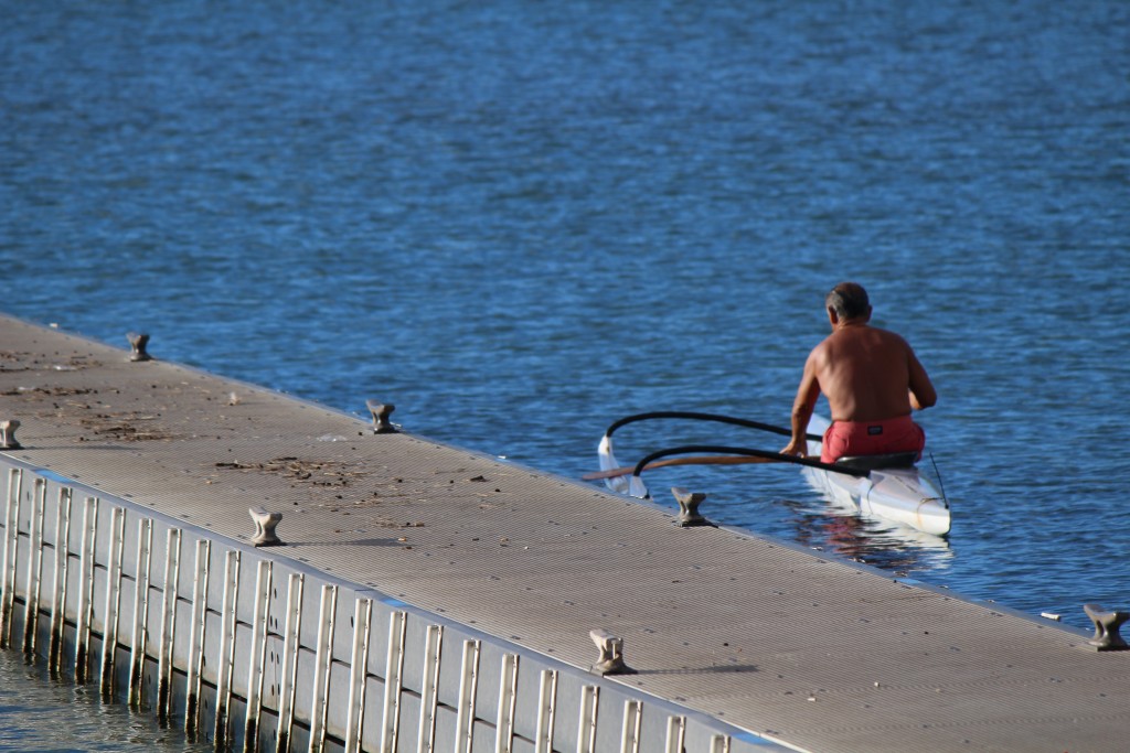
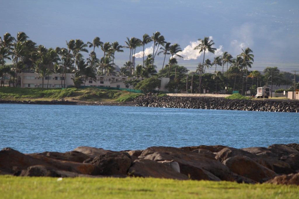
Kahului Harbor 9/17/15. Photo by Wendy Osher.
Kahului Harbor 9/17/15. Photo by Wendy Osher.
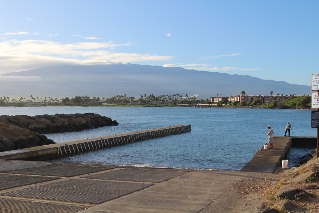
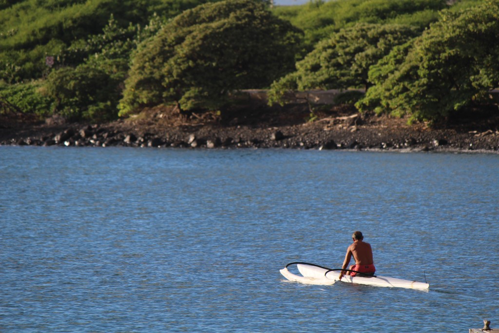
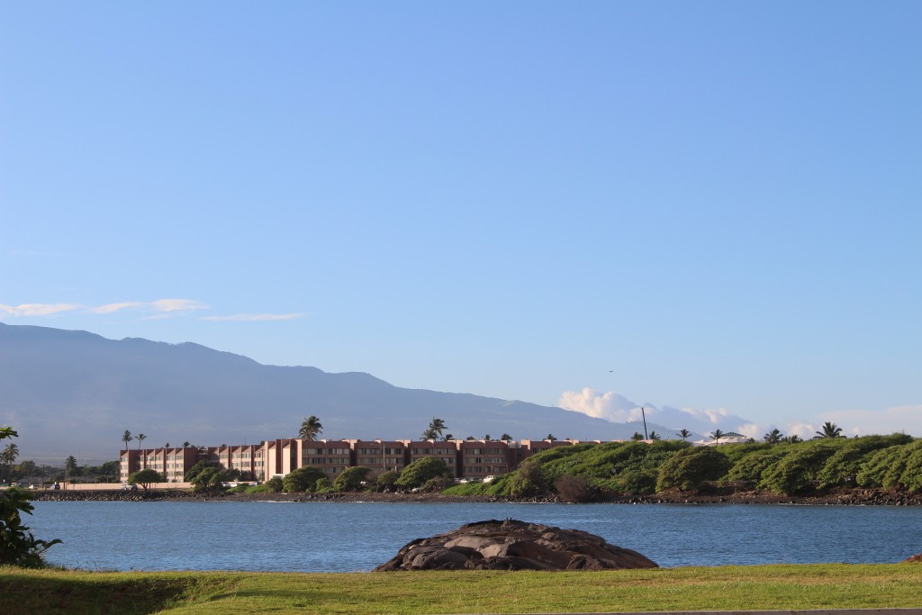
Kahului Harbor 7 a.m. 9/17/15. Photo by Wendy Osher.
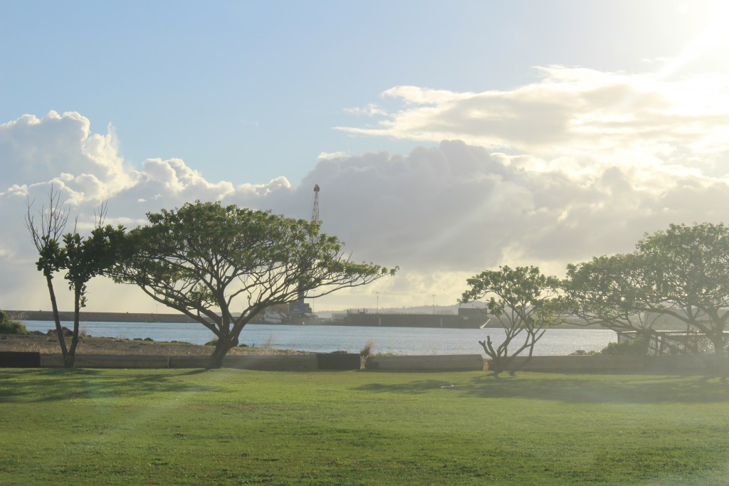
Kahului Harbor 7 a.m. 9/17/15. Photo by Wendy Osher.
Kahului Harbor 7 a.m. 9/17/15. Photo by Wendy Osher.
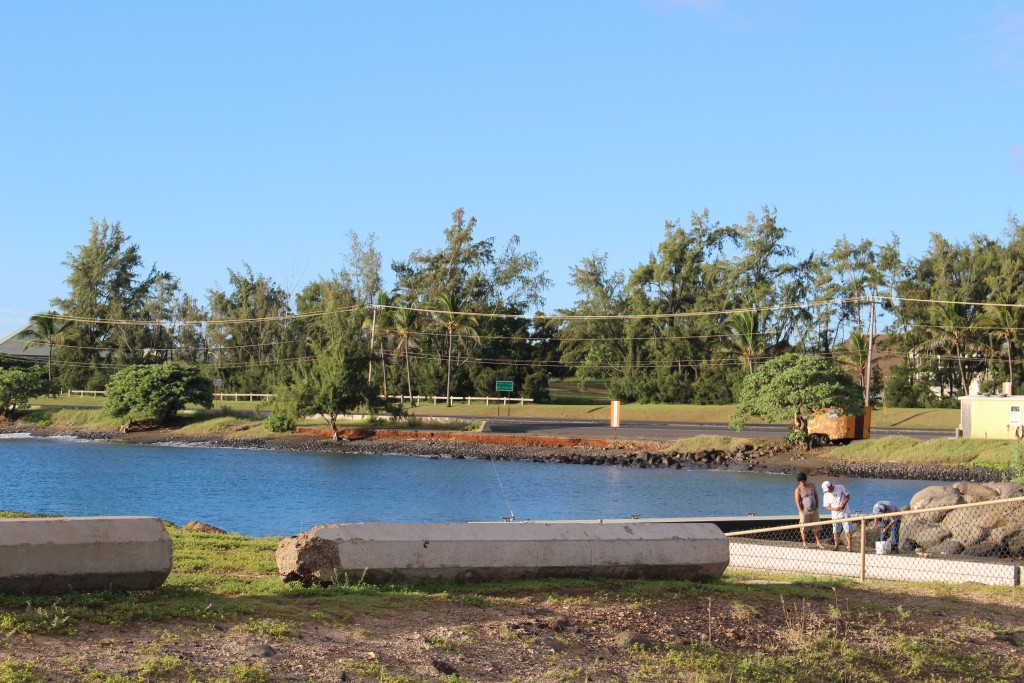
Kahului Harbor 7 a.m. 9/17/15. Photo by Wendy Osher.
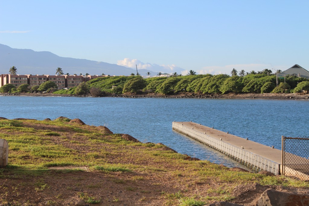
Kahului Harbor 7 a.m. 9/17/15. Photo by Wendy Osher.
Kahului Harbor 7 a.m. 9/17/15. Photo by Wendy Osher.
Sponsored Content