North Fades as New Northerly Swell Fills in

Image: Asa Ellison
Marine Alerts (as of 1:00 a.m.)
Flash Flood Watch: Maui and the Big Island through Tuesday afternoon. The highest chance of flooding will be over windward and interior areas.
High Surf Advisory: East facing shores of Maui & Molokai through 6 p.m. Tuesday.
Small Craft Advisory: Through 6 p.m. Tuesday for east winds up to 30 knots and seas from 8 to 13 feet.
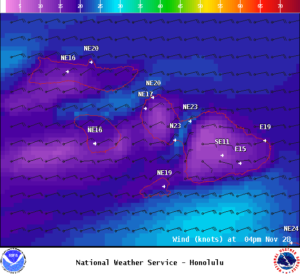
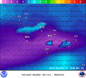
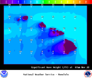
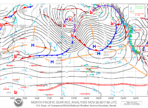
**Click directly on the images below to make them larger. Charts include: Maui County projected winds, tides, swell direction & period and expected wave heights.**
Maui Surf Forecast
North: Wave heights are expected to be head high to a couple feet overhead on the sets at the best breaks.
West: Wave heights are expected to be knee/waist high or less today. Spots catching the northerly wrap will be bigger depending on the exposure to the fading and building swells.
South: Surf heights expected around knee/waist high or less today.
Our current north swell is fading. A series of northerly swells are forecast to move through the state over the next week.
Another northwest swell and north swell are forecast to fill in Tuesday possibly bringing advisory level surf Tuesday night and Wednesday.
A large reinforcement is forecast for Thursday.
Keep in mind, surf heights are measured on the face of the wave from trough to crest. Heights vary from beach to beach, and at the same beach, from break to break.
**Click here for your detailed Maui County weather report.**

Image: NOAA

Image: NOAA

Image: NOAA

Image: NOAA

Image: NOAA

Image: NOAA

Image: NOAA

Image: NOAA


