Surf Advisory Continues as Large NW Fills in
Image: Asa Ellison
Marine Alerts (as of 1:00 a.m.)
Flash Flood Watch: Maui and the Big Island through Thursday afternoon. The highest chance of flooding will be over windward and interior areas. Grounds are already saturated from earlier rains.
High Surf Advisory: North and east facing shores of Maui & Molokai and the west side of Molokai through 6 a.m. Friday.
Small Craft Advisory: Through 6 a.m. Friday for east winds up to 25 knots and seas from 9 to 14 feet.
**Click directly on the images below to make them larger. Charts include: Maui County projected winds, tides, swell direction & period and expected wave heights.**
Maui Surf Forecast
North: Wave heights are expected to be head high to a couple of feet overhead. By sunset waves could get up to double or triple overhead at the best exposed spots. Twenty foot faces or more are possible at the deep water breaks.
West: Wave heights are expected to be knee high or less today. Spots catching the northerly wrap will be bigger depending on the exposure to the fading and building swells.
South: Surf heights expected around knee high or less today.
Our current north-northwest has peaked and is fading. A new and larger north-northwest swell has begun filling in overnight and is expected to peak at advisory levels Thursday. Another large swell from the north-northwest is forecast for Tuesday of next week.
A small, long-period south swell is forecast to fill in Saturday and linger through Sunday morning.
Keep in mind, surf heights are measured on the face of the wave from trough to crest. Heights vary from beach to beach, and at the same beach, from break to break.
**Click here for your detailed Maui County weather report.**
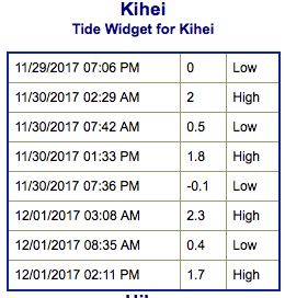
Image: NOAA
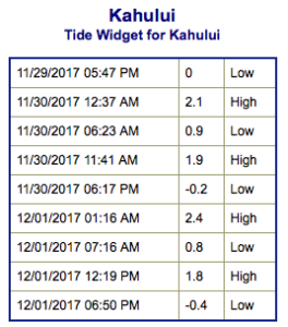
Image: NOAA
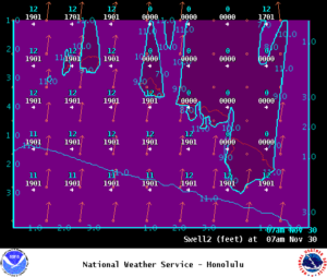
Image: NOAA
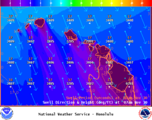
Image: NOAA
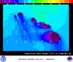
Image: NOAA
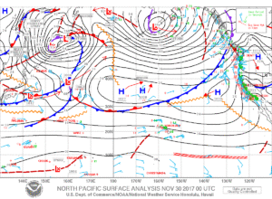
Image: NOAA
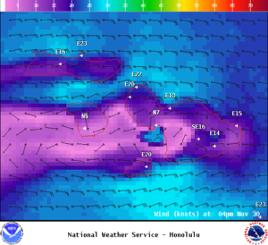
Image: NOAA
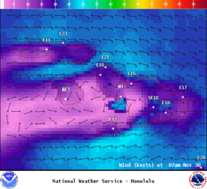
Image: NOAA


