

August 09, 2018 Surf Forecast
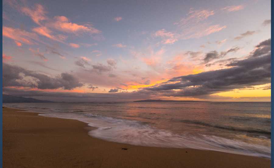
Photo: Chris Archer
Swell Summary
Outlook through Thursday August 16: As Hurricane Hector tracks westward south of the Islands, a short- period southerly swell is expected to fill in later today and peak tonight. A new long-period south swell is expected to fill in Friday, peak Saturday and gradually lower on Sunday. A mix of small long- period easterly swell and trade wind energy will keep the surf up along east facing shores through the weekend. The small north swell will gradually lower into the weekend. Although confidence is low, a small long-period northwest swell will be possible by Wednesday of next week.
Surf heights are forecast heights of the face, or front, of waves. The surf forecast is based on the significant wave height, the average height of the one third largest waves, at the locations of the largest breakers. Some waves may be more than twice as high as the significant wave height. Expect to encounter rip currents in or near any surf zone.
North
am ![]()
![]() pm
pm ![]()
![]()
Surf: Waist to stomach high N medium period swell for the morning drops into the thigh to waist high zone during the afternoon.
Conditions: Choppy, strong sideshore current with ENE winds 20-25mph in the morning shifting E 15-20mph in the afternoon.
South
am ![]()
![]() pm
pm ![]()
![]()
Surf: Waist to chest high S medium period swell.
Conditions: Semi glassy/semi bumpy with NNW winds 5-10mph in the morning decreasing to less than 5mph in the afternoon. Clean conditions are expected for the late day with ESE winds less than 5mph.
West
am ![]()
![]() pm
pm ![]()
![]()
Surf: Knee to thigh high N medium period swell with occasional waist high sets.
Conditions: Clean with ENE winds 15-20mph in the morning decreasing to 10-15mph in the afternoon.

Image: NOAA

Image: NOAA

Image: NOAA

Image: NOAA

Image: NOAA

Image: NOAA
**Click directly on the images below to make them larger. Charts include: Maui County projected winds, tides, swell direction & period and expected wave heights.**
Data Courtesy of NOAA.gov and SwellInfo.com
Sponsored Content


