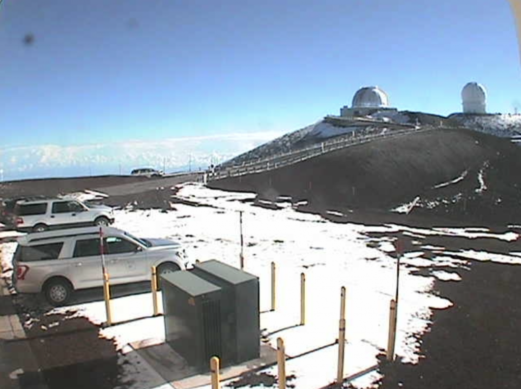
Winter Storm Watch in Effect for Big Island Summits Friday to Saturday Night

The Big Island Summits are under a Winter Storm Watch from Friday evening through late Saturday night with heavy snow possible, according to the National Weather Service.
The NWS forecast calls for total snow accumulations of up to 4 inches possible, with wind gusts higher than 100 mph.
According to the NWS, travel could be very difficult and blowing snow will significantly reduce visibility at times, with periods of zero visibility.
A Winter Storm Watch means there is potential for significant snow or ice accumulations that may impact the summits. Anyone planning travel to the summits, including hikers and campers, should monitor the latest forecasts and consider postponing their trip until improved weather returns.


