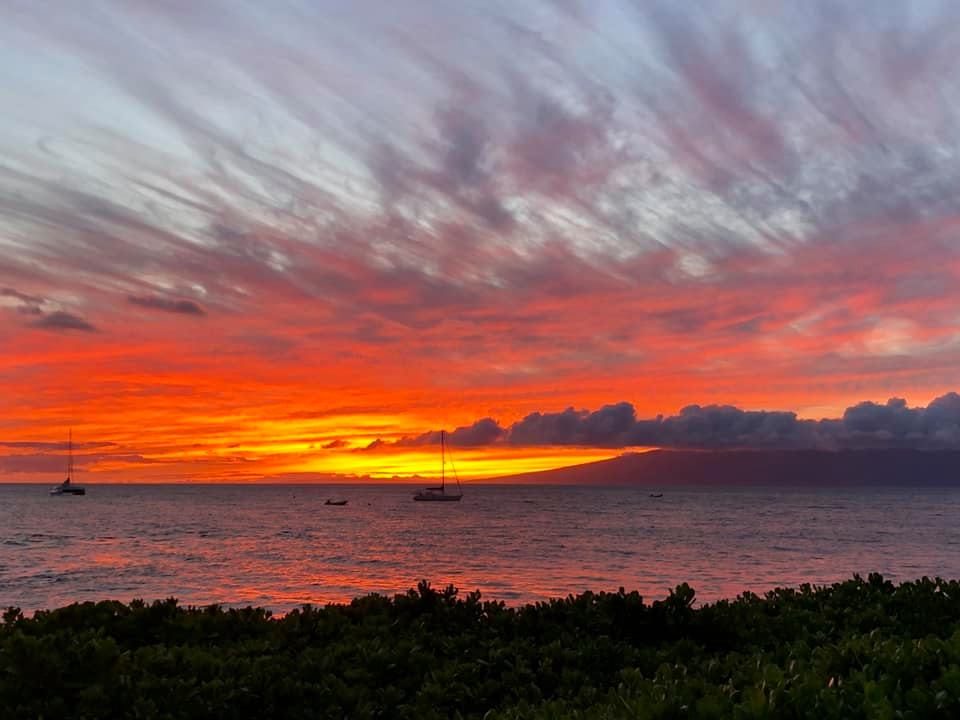
Maui Surf Forecast for September 30, 2023
| Shores | Today | Sunday | ||
|---|---|---|---|---|
| Surf | Surf | |||
| AM | PM | AM | PM | |
| North Facing | 1-3 | 1-3 | 1-3 | 1-3 |
| West Facing | 0-2 | 0-2 | 0-2 | 0-2 |
| South Facing | 2-4 | 2-4 | 2-4 | 2-4 |
| East Facing | 3-5 | 3-5 | 3-5 | 2-4 |
| Weather | Mostly sunny. Scattered showers. | |||||
|---|---|---|---|---|---|---|
| High Temperature | In the upper 80s. | |||||
| Winds | East winds 15 to 20 mph. | |||||
|
||||||
| Sunrise | 6:16 AM HST. | |||||
| Sunset | 6:16 PM HST. | |||||
| Weather | Partly cloudy. Isolated showers. | |||||
|---|---|---|---|---|---|---|
| Low Temperature | In the lower 70s. | |||||
| Winds | East winds 15 to 20 mph. | |||||
|
||||||
| Weather | Partly sunny. Scattered showers. | |||||
|---|---|---|---|---|---|---|
| High Temperature | In the upper 80s. | |||||
| Winds | East winds 15 to 20 mph. | |||||
|
||||||
| Sunrise | 6:17 AM HST. | |||||
| Sunset | 6:14 PM HST. | |||||
Swell Summary
A pair of northern Pacific systems moving south of the Aleutian Islands and into the Gulf of Alaska the next several days will produce a couple of north to northwest swells that will reach the islands Sunday and fill in Monday and then again Tuesday into Wednesday. This will result in heightened north and west-facing shore surf well into next week. The first near four foot, medium period northwest swell is timed to fill in during the day on Sunday. This swell should peak Sunday night and Monday surf to or above head high and then slowly fall through Tuesday. A slightly larger, medium period more northwest-turning-north swell is expected to reach the islands and fill in from late Tuesday through early Thursday. This swell will reinforce these head to over head high surf heights from mid to late week.
East-facing short period wind wave chop will significantly fall next week as east trades disappear and light or gentle breezes become the new wind regime. South-facing shore surf will remain around waist high through early next week. There may be a slight bump in southeast low period swell, mixed into weekend background south swell, that originated from a small fetch region far southeast of the island chain. This may lift surf from chest to near head high along more southeastern exposures from Sunday into mid week.
NORTH SHORE
am ![]()
![]() pm
pm ![]()
![]()
Surf: Knee high ENE short period wind swell in the morning builds a bit for the afternoon.
Conditions: Sideshore texture/chop with E winds 20-25mph.
SOUTH SHORE
am ![]()
![]() pm
pm ![]()
![]()
Surf: Minimal (ankle high or less) surf.
Conditions: Clean in the morning with NE winds 5-10mph. Semi glassy/semi bumpy conditions for the afternoon with the winds shifting WNW less than 5mph.
WEST SIDE
am ![]()
![]() pm
pm ![]()
![]()
Surf: Minimal (ankle high or less) surf.
Conditions: Clean with E winds 15-20mph in the morning increasing to 20-25mph in the afternoon.
Data Courtesy of NOAA.gov and SwellInfo.com


