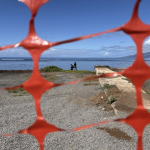
State land surveyors help to determine shoreline boundaries in Lahaina post-wildfire
 Lahaina. PC: courtesy Department of Accounting and General Services
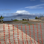
- Lahaina. PC: courtesy Department of Accounting and General Services
- Lahaina. PC: courtesy Department of Accounting and General Services
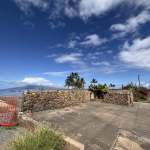
- Lahaina. PC: courtesy Department of Accounting and General Services
- Lahaina. PC: courtesy Department of Accounting and General Services
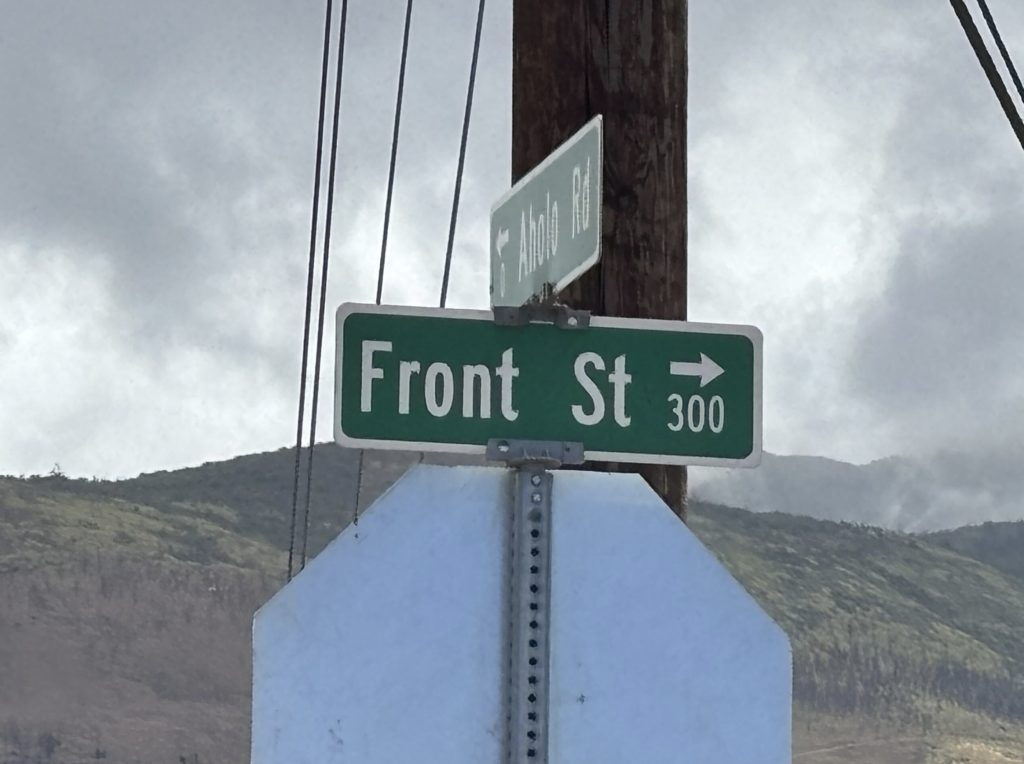
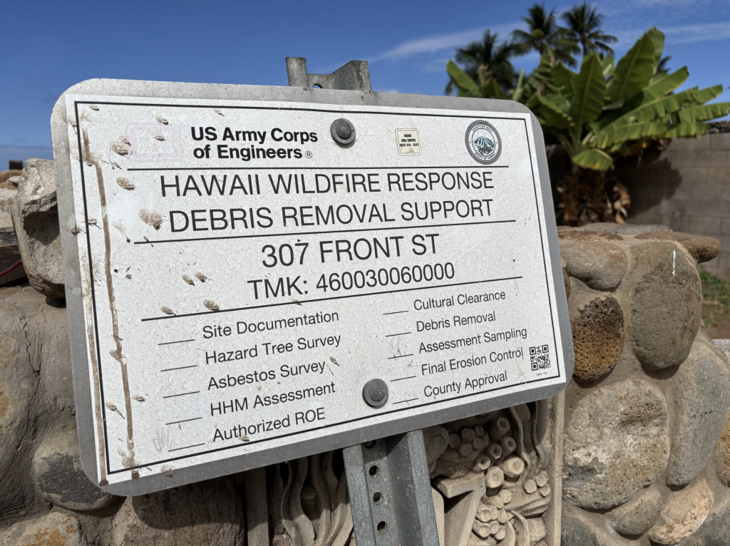
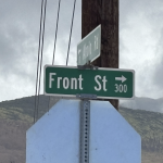
- Front St., Lahaina. PC: courtesy Department of Accounting and General Services
- Lahaina. PC: courtesy Department of Accounting and General Services
- Lahaina. PC: courtesy Department of Accounting and General Services
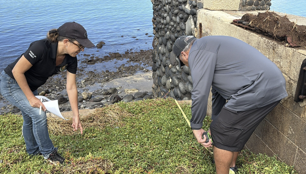


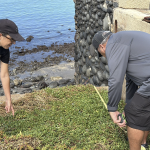
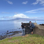
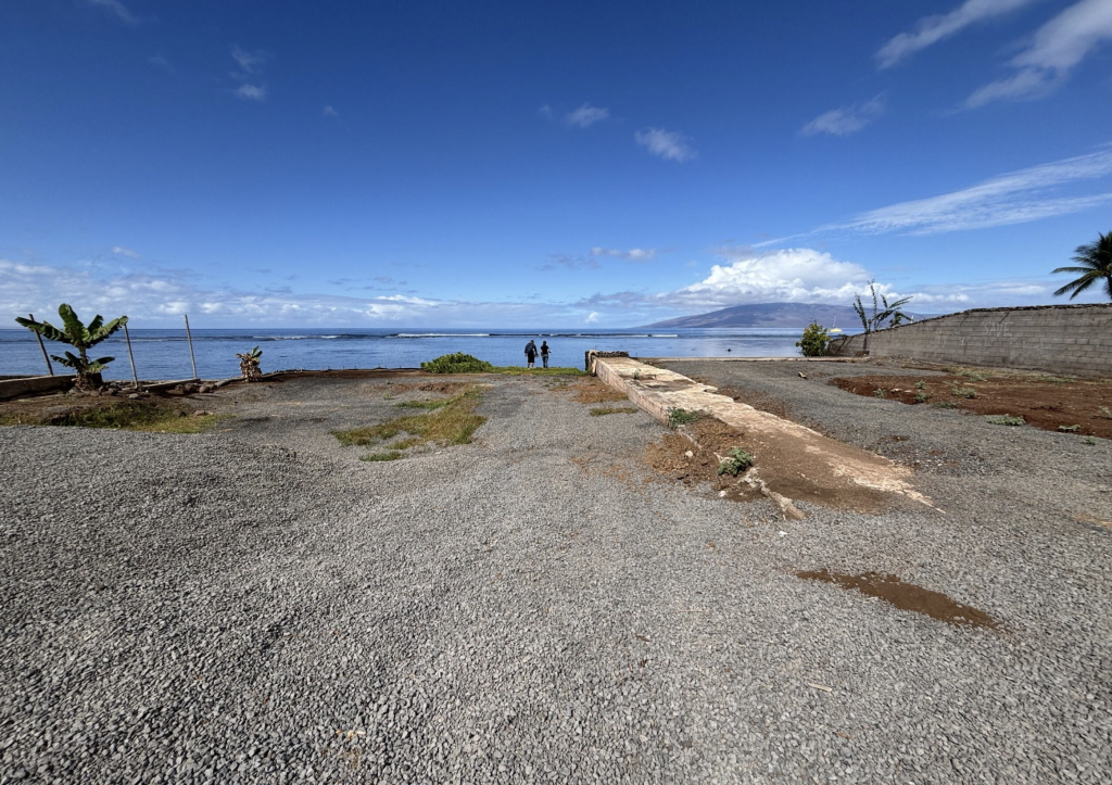
The Hawaiʻi Department of Accounting and General Services Land Survey Division is helping the Lahaina community find normalcy, as residents and businesses rebuild after the 2023 wildfires.
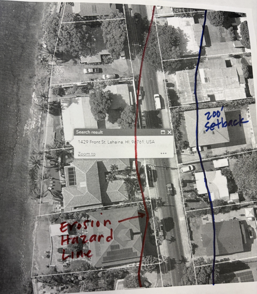
Six surveyors work in the Land Survey Division. Their job is to officially notate where the boundaries are on a parcel of land. For oceanfront parcels, they determine where the state shoreline ends and where private land begins. Their measurements also help legally specify what the shoreline setback is for a structure, like a house or a condominium.
This is all information a property owner needs when applying for a county permit to rebuild their house. The quicker the shoreline can be certified, the quicker the permits can be processed.
The Hawaiʻi Department of Land and Natural Resources (DLNR) is responsible for certifying the shoreline with the assistance of DAGS Land Survey Division.
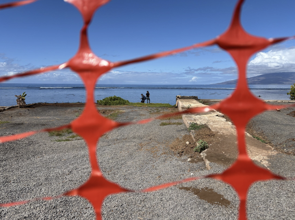
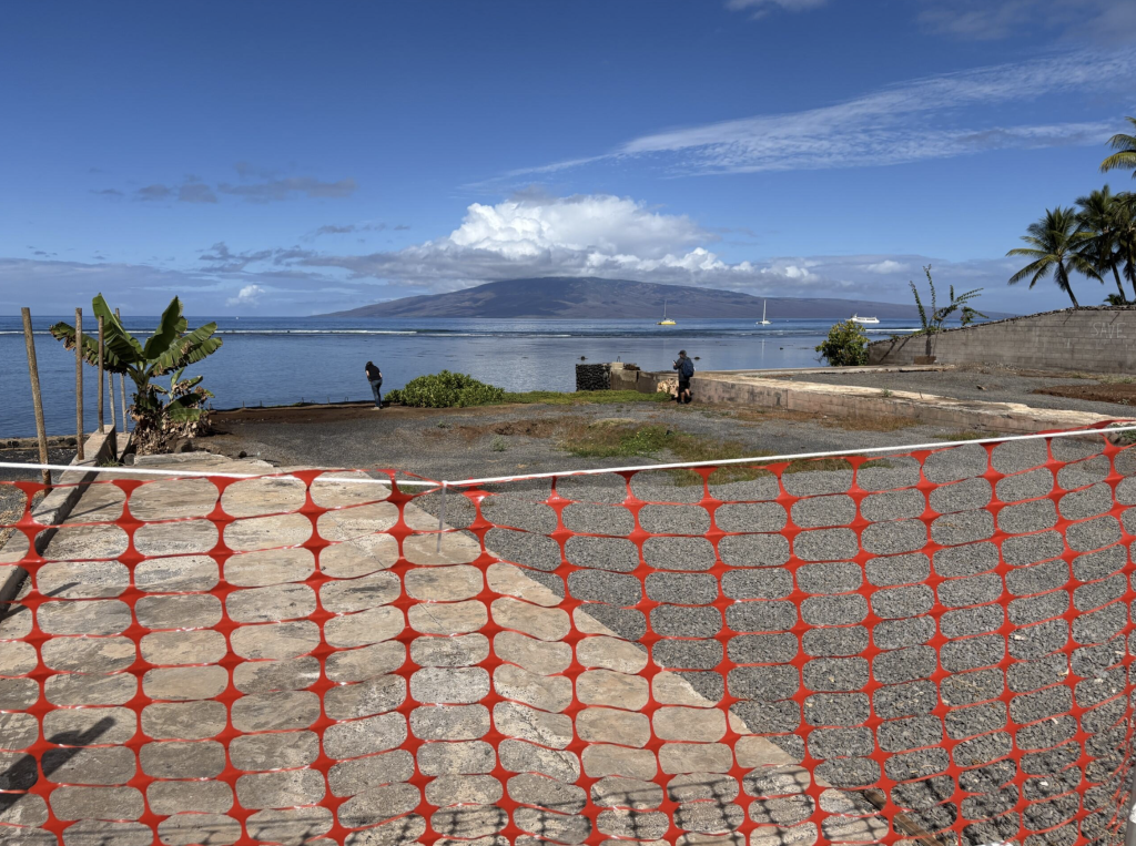
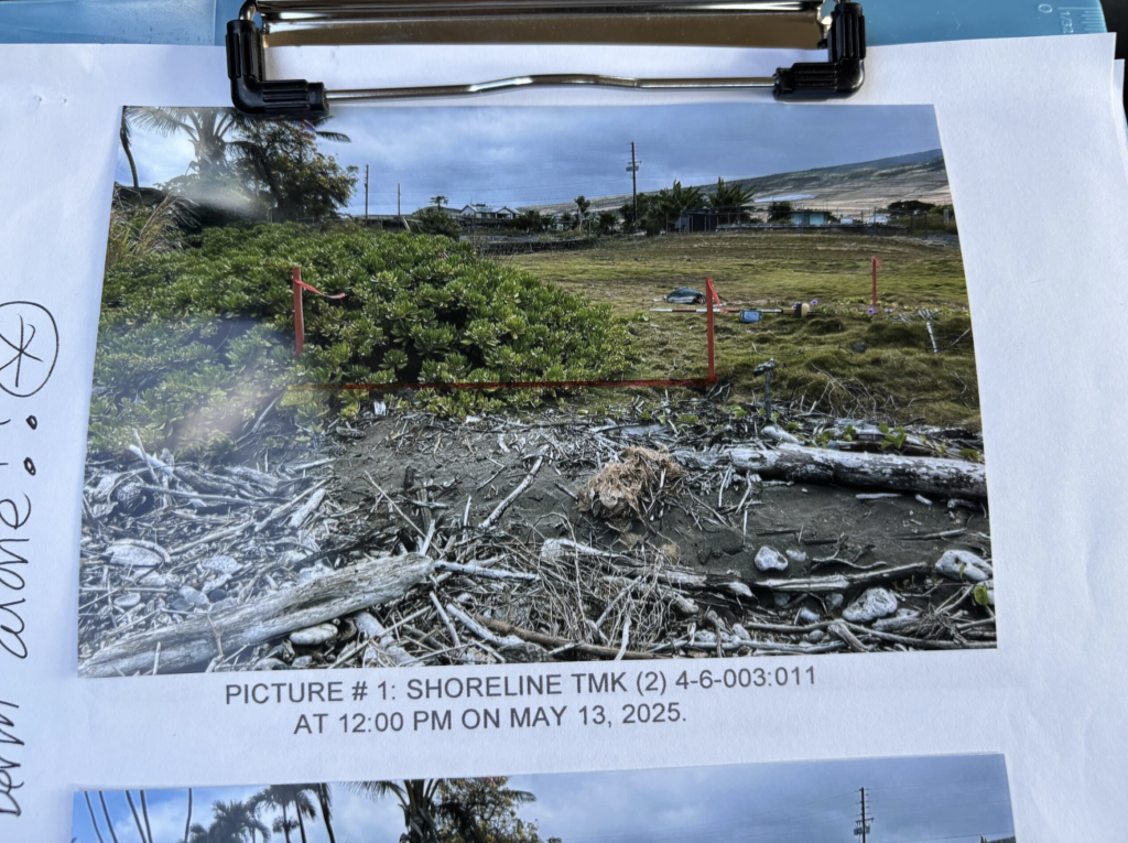
DAGS land surveyors’ work in Lahaina usually involves oceanfront lots, because that’s where private land meets state land. Dozens of those seaside lots were destroyed in the wildfire, including many of the survey stakes or property corner markers that indicate the legal borders of a plot of land. Property corner markers can be natural identifying structures, some of which could be burned in a fire.
The Land Survey Division also has 154 years’ worth of government survey records, since the division was established in 1871. It is able to furnish historical records as needed to aid in Lahaina’s recovery management and disaster planning.
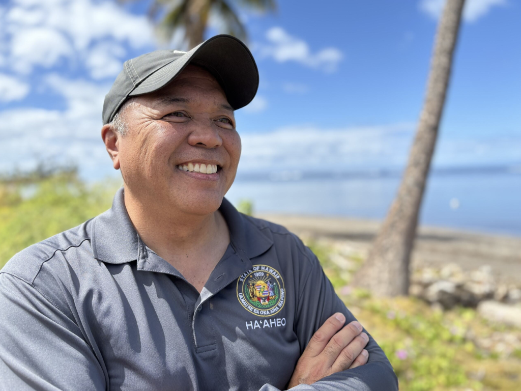
“We are honored to play a small part in helping Lahaina residents and business owners rebuild. Our hearts go out to this community that has suffered so much. Certifying property boundaries seems like such an ordinary task, but knowing that it helps a homeowner get their long-awaited building permit makes it so worthwhile and fulfilling for our department in doing our jobs,” said DAGS Director and Comptroller Keith Regan.
“DAGS conducts about 20 land surveys a year on Maui,” added division administrator Reid Siarot. “Since the 2023 wildfires, demand for surveyors in Lahaina has significantly increased. We’ve stepped up our travel to the Valley Isle to meet demand.”
DAGS surveyors are scheduling earlier site visits to affected properties, accelerating application reviews and prioritizing certification recommendations. Further, they have been notifying Maui County before they conduct site inspections to reduce lag time between agency actions.
Sponsored Content