Low ‘meanders’ away; Winter Weather Advisory issued for Big Island summits
An upper-level low and associated surface trough remain west of the islands and will move southwestward further away from the state in the next day or so, according to the National Weather Service.
“As the low meanders away, it will begin to weaken, greatly decreasing thunderstorms and heavy rain for the Hawaiian Islands. Light winds will develop during the second half of the week allowing for sea breezes to develop, limiting only light shower activity at times,” the NWS reports.
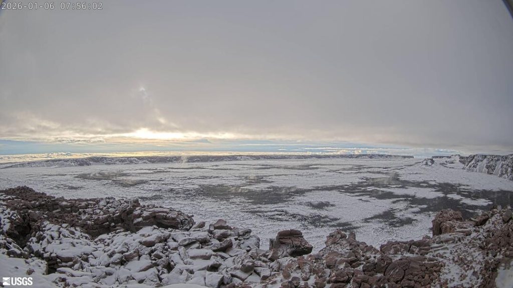
On the Big Island, a Winter Weather Advisory remains in effect until midnight tomorrow for the summits above 11,000 feet.
The forecast calls for total snow accumulations up to 3 inches, with winds gusting up to 35 mph. The NWS is forecasting periods of snow, sleet, or freezing rain in the area.
Sponsored Content