

Advisory Level Surf Expected Today
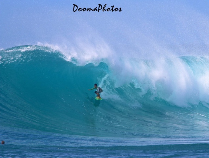
10-year-old Ty Simpson Kane surfing at Honolua Bay / Image: Dooma Photos
By Meteorologist Malika Dudley / Email: malika@mauinow.com
Alerts
A High Surf Advisory is posted for the north facing shores of Maui and Moloka’i from noon Monday through 6:00 a.m. The west side of Moloka’i is also included in the advisory. Wednesday. Surf is expected to build up to 15 to 20 feet for north shores late Monday. The west side of Moloka’i could get 10 to 15 foot faces. Expect strong breaking waves, shore break and strong longshore and rip currents making swimming difficult and dangerous.
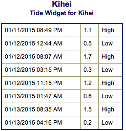
**Click directly on the images below to make them larger. Charts include: Maui County projected winds, forecasted swell direction, height & period, tides, a surface map and expected wave heights.**
 Maui County Surf Forecast, Monday, January 12, 2015
North: Surf heights are expected from chest high to slightly overhead or more at the best breaks, especially for spots east of Ho’okipa late in the day.
West: Late in the day some spots may start to catch some wrap from the building west-northwest. Otherwise, breaks that don’t catch the swells, and / or are shadowed from them, are forecasted to get smaller surf at ankle high or flat.
South: Ankle high surf is expected. Most spots are flat.
 Another shot of energy is expected Monday, with surf expected well above the advisory level along north and west facing shores. Surf heights could reach double overhead at the best exposures by sundown peaking at double to maybe even triple overhead on the sets at the best breaks on Tuesday. That swell will slowly subside through midweek.
A larger northwest swell is expected to arrive late Wednesday night, and may bring surf near warning levels on Thursday and Friday.
Nothing of note out of the SPAC to get excited about.
Keep in mind, surf heights are measured on the face of the wave from trough to crest. Heights vary from beach to beach, and at the same beach, from break to break.
**Click here for your detailed Maui County weather report.**

Image: NOAA / NWS
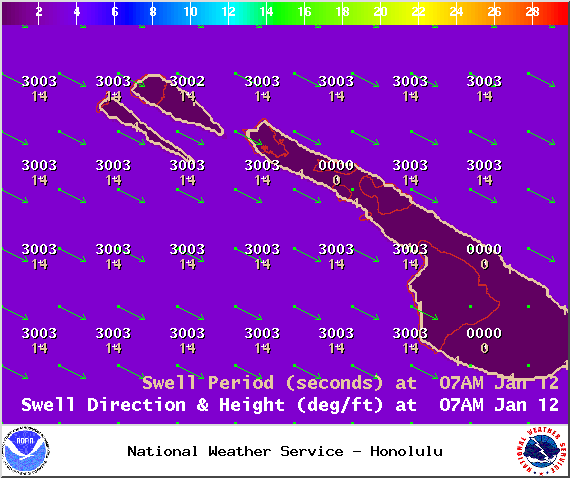
Image: NOAA / NWS
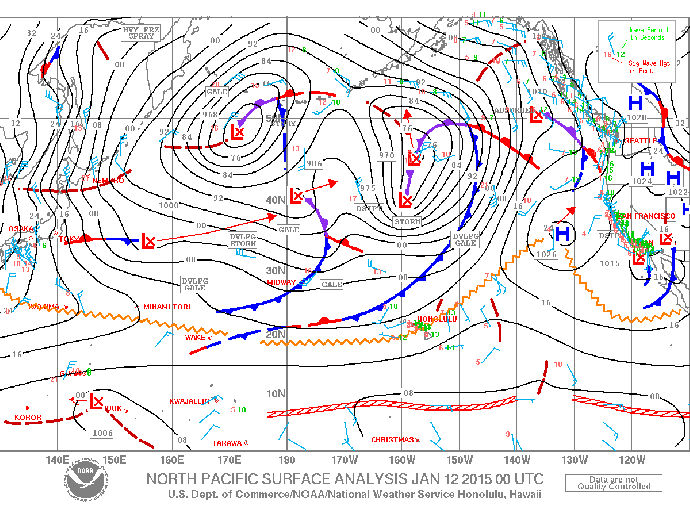
Image: NOAA / NWS
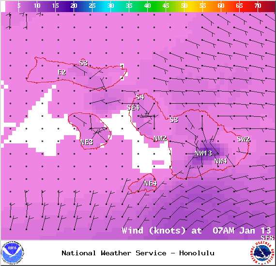
Image: NOAA / NWS
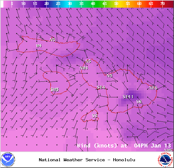
Image: NOAA / NWS
Sponsored Content


