

Swell Fades Today, New Swell Builds Late
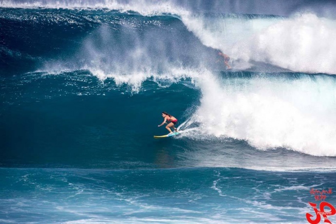
Ho’okipa yesterday / Image: Jimmie Hepp
By Meteorologist Malika Dudley / Email: malika@mauinow.com
Alerts
There are no weather alerts posted at this time.
**Click directly on the images below to make them larger. Charts include: Maui County projected winds, forecasted swell direction, height & period, tides, a surface map and expected wave heights.**
 Maui County Surf Forecast, Wednesday, January 14, 2015
North: Surf heights are expected head high or more. The best breaks, especially spots east of Ho’okipa, will be overhead to a few feet overhead especially early in the day. Nice conditions early with our light wind speeds.
West: Early in the day some spots will catch wrap from the west-northwest swell. Otherwise, breaks that don’t catch the swells, and / or are shadowed from them, are forecasted to get smaller surf at ankle high or flat.
South: Ankle to knee high surf is expected. Most spots are flat.
 Our current west-northwest swell is expected slowly subside today about half the size it was yesterday. The north shore of Maui is partially shadowed from the swell but spots east of Ho’okipa will still see some fun wave action.
A slightly larger west-northwest swell is expected to arrive late Wednesday night. By Friday the direction should shift more northwest and this would allow for more north shore spots to build in size.
Nothing of note out of the SPAC to get excited about.
Keep in mind, surf heights are measured on the face of the wave from trough to crest. Heights vary from beach to beach, and at the same beach, from break to break.
**Click here for your detailed Maui County weather report.**
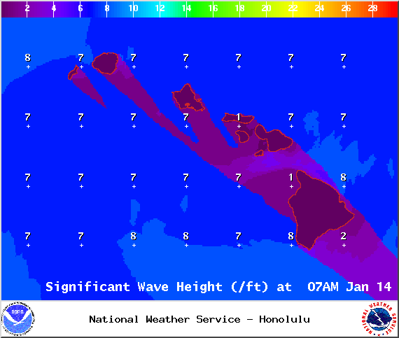
Image: NOAA / NWS
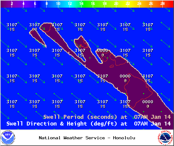
Image: NOAA / NWS
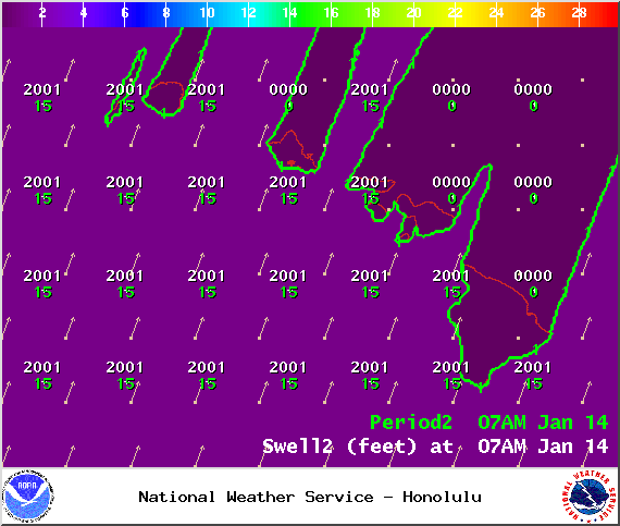
Image: NOAA / NWS
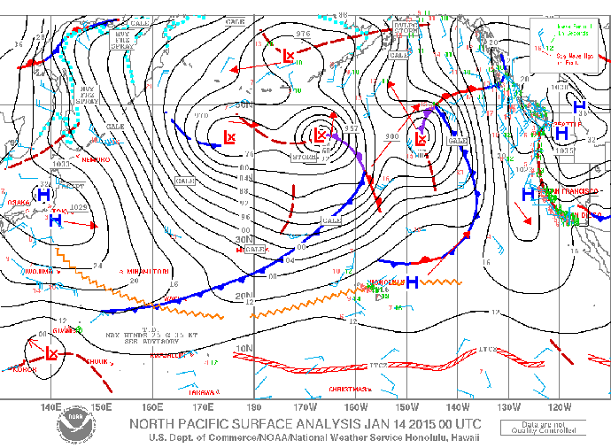
Image: NOAA / NWS
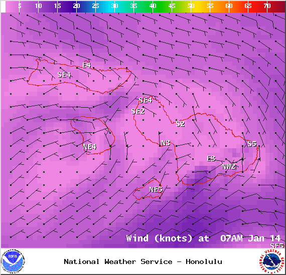
Image: NOAA / NWS
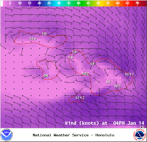
Image: NOAA / NWS
Sponsored Content


