

Swell Peaks Today, Reinforcement For Weekend

Whale breaching off Ho’okipa 1.27.15 / Image: Jimmie Hepp
By Meteorologist Malika Dudley / Email: malika@mauinow.com
Alerts
A High Surf Advisory is posted for the north shores of Maui and Moloka’i and the west side of Maui through 6:00 a.m. Thursday. Surf along north facing shores of Maui and Moloka’i could reach heights of 12 to 18 feet while the west side of Moloka’i is forecasted to get 8 to 14 foot faces.
**Click directly on the images below to make them larger. Charts include: Maui County projected winds, forecasted swell direction, height & period, tides, a surface map and expected wave heights.**
 Maui County Surf Forecast
North: Surf heights are expected overhead today. Best breaks east of Ho’okipa could see bigger waves on the sets especially late in the day.
West: Spots open to the north could see wave heights up to chest high. Otherwise, breaks that don’t catch the swells, and / or are shadowed from them, are forecasted to get smaller surf at ankle high or flat.
South: We don’t expect much for southern exposures – flat to knee high.
 A storm that developed off of Japan, has brought another solid west-northwest swell for the islands. Maui County is partially shadowed from this swell but surf heights are still expected in the overhead to possibly even double overhead range late Wednesday into early Thursday.
This same storm could bring us a reinforcing swell for the weekend. Another round of well overhead surf is expected if this storm behaves as models are currently indicating.
Nothing exciting out of the SPAC.
Keep in mind, surf heights are measured on the face of the wave from trough to crest. Heights vary from beach to beach, and at the same beach, from break to break.
**Click here for your detailed Maui County weather report.**

Image: NOAA / NWS
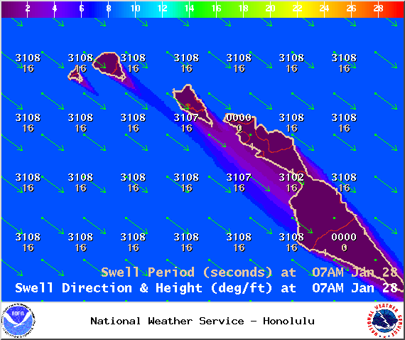
Image: NOAA / NWS
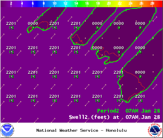
Image: NOAA / NWS
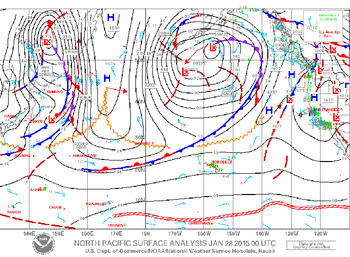
Image: NOAA / NWS
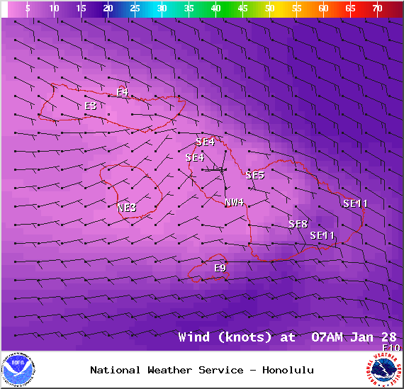
Image: NOAA / NWS
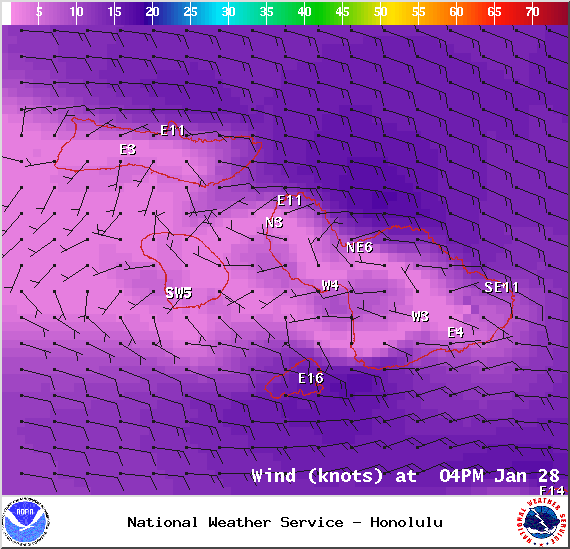
Image: NOAA / NWS
Sponsored Content


