

Ask the Mayor: Where are the Dividing Lines?
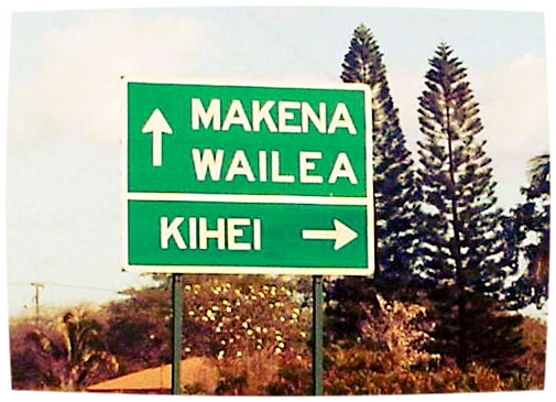
File photo by Wendy Osher.
The mayor answers questions from the public in this series.
By Mayor Alan Arakawa
Q: What’s the Wailuku/Kahului dividing line on Kaʻahumanu Avenue, and the North/South Kihei dividing line on Kīhei Road? In the 1970s, we thought the latter was Mokulele Highway.
A: That’s a very good question. It used to be that there were sufficient undeveloped lands between populated areas that a generalized description would work. However, as towns have grown, this isn’t so clear.
The Maui County Charter outlines the Maui County Council voting districts for Wailuku and Kahului, which are demarcated by Kahului Beach Road, Mahalani Street and Waiale Road. And according to road maps, the line between North and South Kīhei Road is drawn at the intersection of South Kīhei Road and Piʻilani Highway near where the old Suda Store was located. After that you’re headed toward Māʻalaea along North Kīhei Road.
Want to Ask the Mayor?
Submit your questions about County of Maui programs, services, operations or policies to Mayor Alan Arakawa via email at AsktheMayor@mauicounty.gov, by phone at 270-7855 or by mail to 200 S. High St., 9th Floor, Wailuku, HI 96793. Questions submitted will be considered for inclusion in the Ask the Mayor column.
Sponsored Content


