

New WNW Swell Builds Today
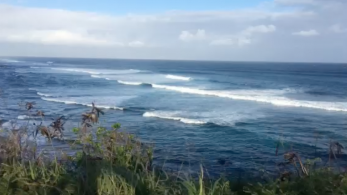
Ho’okipa / Image: Victoria Hoag
By Meteorologist Malika Dudley / Email: malika@mauinow.com
Alerts
A Small Craft Advisory is posted for the Pailolo, Kaiwi and ʻAlenuihāhā channels as well as Māʻalaea Bay and waters north of Moloka’i and Maui through 6:00 a.m. Monday. East winds around 25 knots and rough seas up to 12 feet are forecasted. Inexperienced mariners should avoid navigating in these conditions. (The advisory for Maui windward waters and the Kaiwi channel may expire at 6:00 a.m. on Monday.)
**Click directly on the images below to make them larger. Charts include: Maui County projected winds, forecasted swell direction, height & period, tides, a surface map and expected wave heights.**
 Maui County Surf Forecast
North: Surf starts out small today. Wave heights up to thigh high or more are expected by sunset.
West: Pretty flat conditions are expected today.
South: Ankle to waist high waves are expected today. Tummy high waves are possible at the best breaks.
Small west-northwest leftovers are expected to fade out Monday. A new west-northwest swell is expected to build in late Monday and peak Tuesday.
 A northwest boost is expected midweek due to a storm in the Bering Sea with a small bump out of the northwest also expected next weekend.
Tradeswell is expected to fade over the next couple of days.
Our current southerly swell is expected to fade Monday and Tuesday with another small bump expected midweek. A possible reinforcement swell is on the horizon for next weekend.
Keep in mind, surf heights are measured on the face of the wave from trough to crest. Heights vary from beach to beach, and at the same beach, from break to break.
**Click here for your detailed Maui County weather report.**
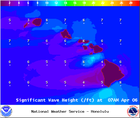
Image: NOAA / NWS
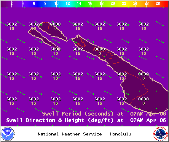
Image: NOAA / NWS
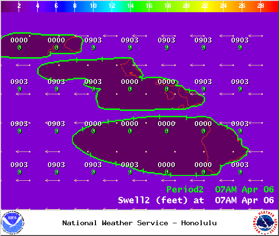
Image: NOAA / NWS

Image: NOAA / NWS

Image: NOAA / NWS
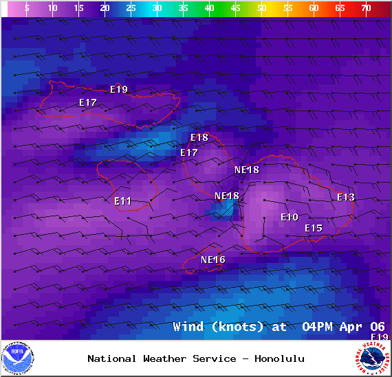
Image: NOAA / NWS
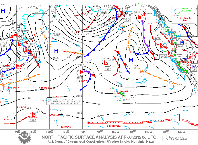
Image: NOAA / NWS
Sponsored Content


