

NNW Fills in, Olaf Swell Expected Soon
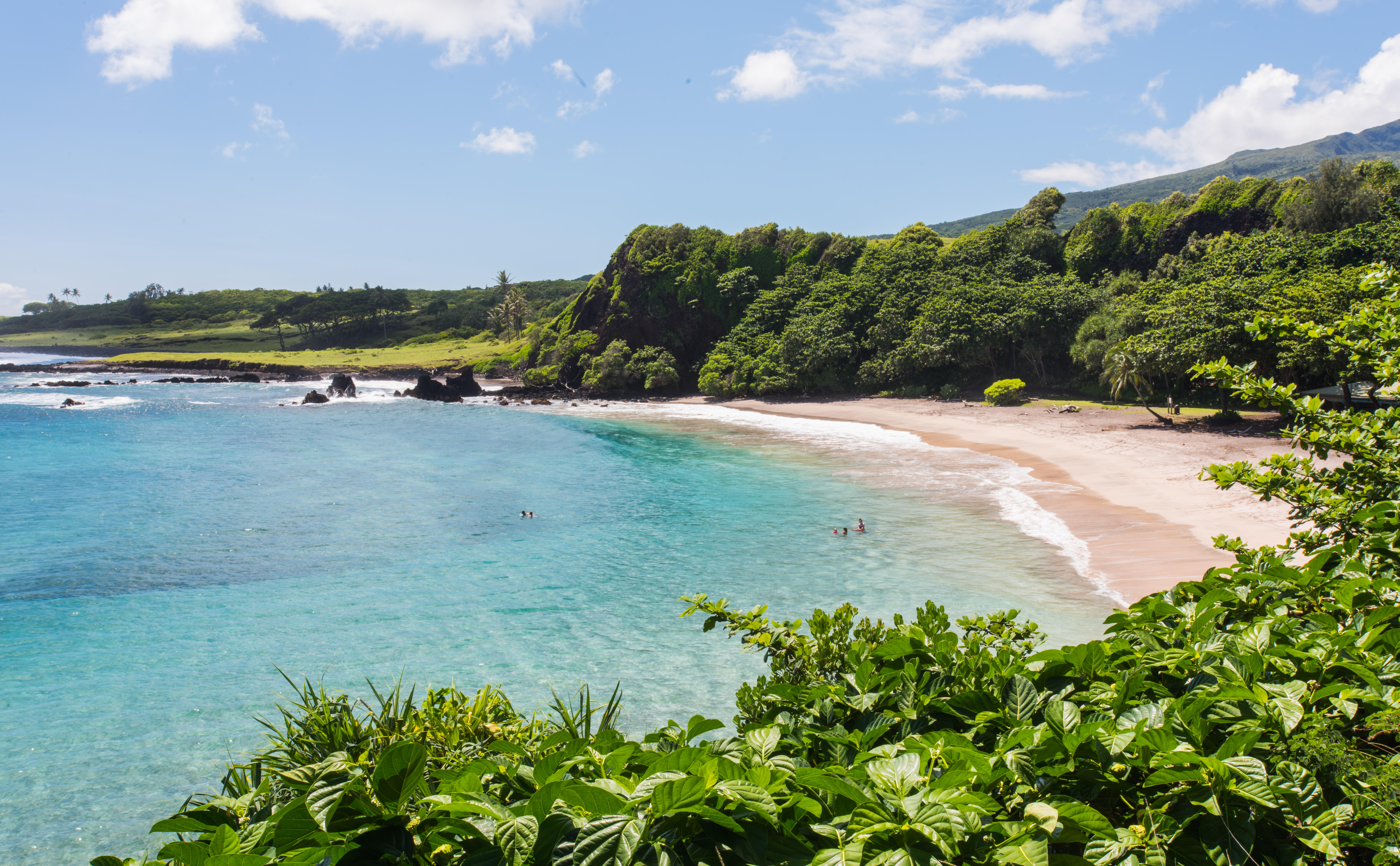
Image: Chris Archer
Alerts
There are no marine alerts posted at this time.
Check our breaking news section for any urgent weather alerts.
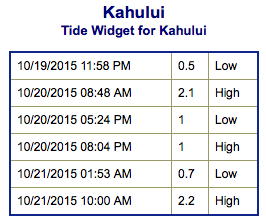
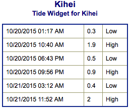
**Click directly on the images below to make them larger. Charts include: Maui County projected winds, tides, swell direction & period and expected wave heights.**
 Maui Surf Forecast
North: Wave heights are expected knee/waist high today. Waves could get up to waist/shoulder high by sunset.
West: Wave heights waist/chest high are expected today. The best exposures could get up to shoulder high on the sets. Spots shadowed by other islands will be smaller.
South: The south-southwest is expected to bring waist/chest high waves today. The best breaks could be a bit bigger on the sets.
 Another shot of northwest is expected build through the day Tuesday and peak Wednesday night before easing late Thursday into Friday.
Our current south-southwest swell is expected to continue through Tuesday before an easing trend takes hold Wednesday. New swell out of the southern hemisphere is expected Thursday into Friday.
Tropical swell is now expected for the second half of this week generated by hurricane Olaf. Warning level surf could occur on east shores. Will keep an eye on it.
Keep in mind, surf heights are measured on the face of the wave from trough to crest. Heights vary from beach to beach, and at the same beach, from break to break.
**Click here for your detailed Maui County weather report.**
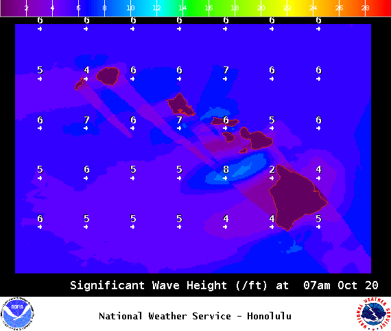
Image: NOAA / NWS
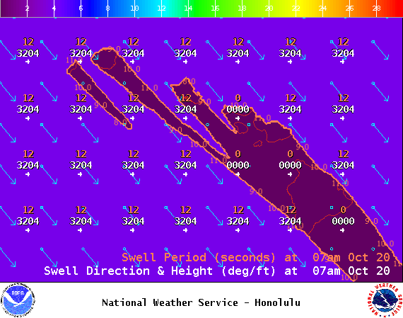
Image: NOAA / NWS
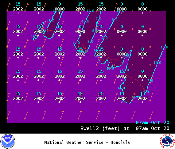
Image: NOAA / NWS
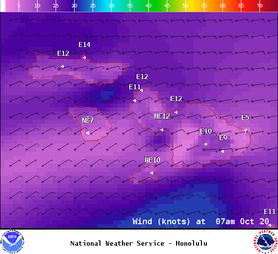
Image: NOAA / NWS

Image: NOAA / NWS

Image: NOAA / NWS
Sponsored Content


