

SSW Peaks, SSE Lingers, NW Fades Today
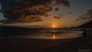
Image: Chris Archer
Alerts (as of 1:00 a.m.)
A Small Craft Advisory is posted for the ʻAlenuihāhā & Pailolo channels, as well as Māʻalaea Bay through 6 p.m. Tuesday.
**Click directly on the images below to make them larger. Charts include: Maui County projected winds, tides, swell direction & period and expected wave heights.**
 Maui Surf Forecast
North: Wave heights are expected to be about chest/shoulder high today. The best breaks could get up to head high early in the day on the sets.
West: Surf is ankle/knee high today for west shores that aren’t catching the northwest. Breaks catching the wrap are expected to be up to waist/chest high at the best exposures with some plusses.
South: Surf is waist/chest high today with shoulder/head high waves at the best breaks on the sets.
 Northwest swell is holding through Monday morning with an easing trend expected. Another pulse is possible around May 8th.
A fun south-southwest swell is expected peak Monday around waist/shoulder high or more. A south-southeast should hang around. Chest/shoulder high waves expected from May 6 to 9 with long period swell expected to increase wave heights May 9.
Keep in mind, surf heights are measured on the face of the wave from trough to crest. Heights vary from beach to beach, and at the same beach, from break to break.
**Click here for your detailed Maui County weather report.**
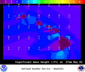
Image: NOAA / NWS
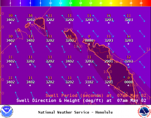
Image: NOAA / NWS
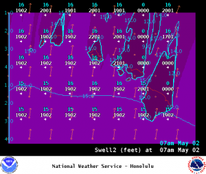
Image: NOAA / NWS
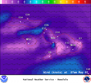
Image: NOAA / NWS
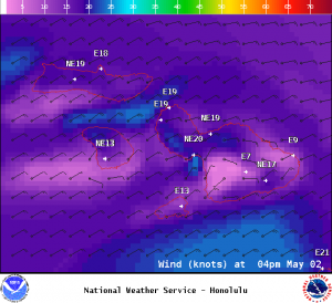
Image: NOAA / NWS

Image: NOAA / NWS
Sponsored Content


