

Resources Available for Hawai‘i Residents Impacted by Recent Floods
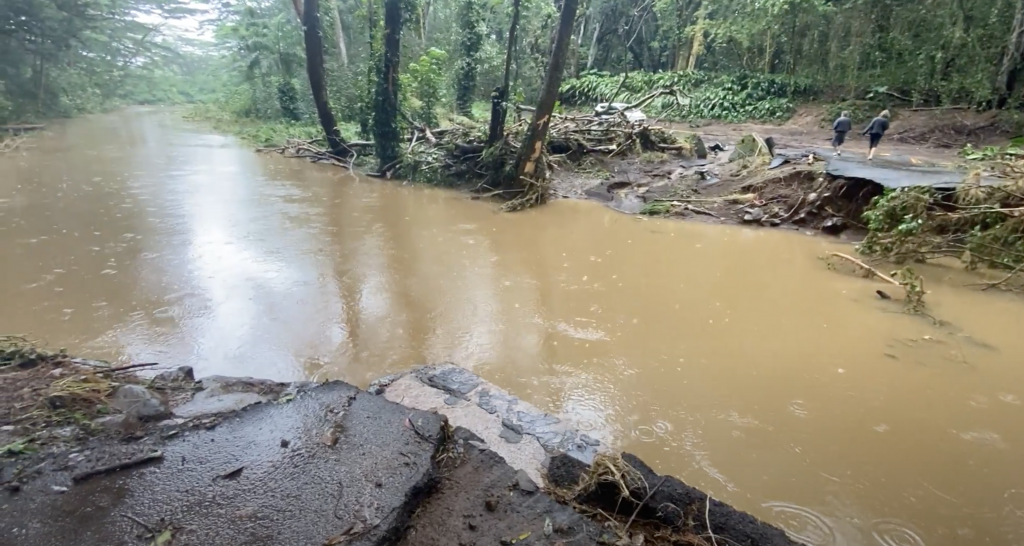
The state Department of Land and Natural Resources has released a list of resources available to Hawaiʻi residents impacted by recent floods.
“Knowing your risk is essential as unpredictable rainy weather events can leave property owners with damaged or destroyed structures,” department officials said.
The DLNR Engineering Division is the state agency responsible for assisting with the coordination of the National Flood Insurance Program between the Federal Emergency Management Agency and individual counties.
There are many resources people can choose from for alerts, tips and overall preparedness. This information can help the public get assistance or prepare in the event your home or property is impacted by a flood.
The DLNR Flood Hazard Assessment Tool (link posted below) is an online geographic information system mapping application developed by DLNR, for viewing FEMA’s Digital Flood Insurance Rate Maps.
Most standard homeowner’s insurance policies do not cover flooding. Anyone wanting information on obtaining flood insurance should contact their insurance agent, visit the NFIP website, or call the NFIP Help Center at 1-877-336-2627.
Additional resources available include the following:
- Official DLNR Flood and Dam Section twitter account: @hawaiifloodplan
- The State of Hawaiʻi, DLNR Engineering Division’s National Flood Insurance Program’s website.
- The DLNR Flood Hazard Assessment Tool.
- The National Flood Insurance Program website.
- A reputable blog site providing up to date information on Floodplain management and Flood Insurance in Hawaiʻi.
- Flood Zone Definitions.
- The State Dam Inventory System has information on all of Hawaiʻi’s state regulated dams. Users can select a dam and find out General information, Owner Information, Hazard Potential Classification and the evacuation maps.
- The DLNR Engineering Division, Dam Safety homepage.
- DO I LIVE or WORK in a Dam Evacuation Zone? (The DLNR Engineering Division’s State Dam Safety Program has provided state regulated dam location information on our Flood Hazard Assessment Tool. In support of the County Emergency Response Agencies, county dam evacuation information is also included when conducting a parcel search.)
Sponsored Content


