Maui Weather Forecast for August 21, 2026
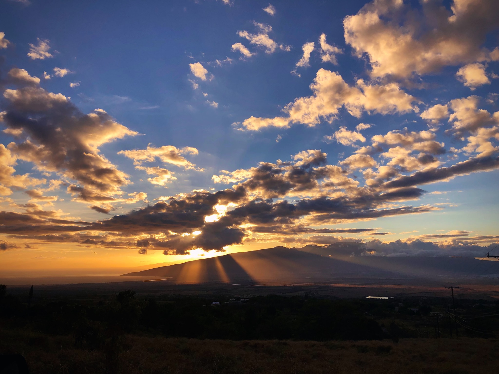
West Side
Today: Sunny. Isolated showers in the afternoon. Highs 82 to 89. Light winds becoming southwest up to 10 mph in the afternoon. Chance of rain 20 percent.
Tonight: Mostly clear. Lows 73 to 79. Northeast winds up to 15 mph.
Saturday: Mostly sunny. Breezy. Isolated showers in the afternoon. Highs 81 to 88. Northeast winds up to 20 mph increasing to 10 to 25 mph in the afternoon. Chance of rain 20 percent.
South Side
Today: Sunny. Highs 86 to 91. North winds up to 10 mph shifting to the west in the afternoon.
Tonight: Mostly clear. Lows 73 to 81. Northwest winds 10 to 15 mph shifting to the north after midnight.
Saturday: Sunny and breezy. Highs around 89. Northeast winds 10 to 25 mph. Gusts up to 45 mph in the afternoon.
North Shore
Today: Breezy. Mostly sunny with isolated showers. Highs 80 to 85 near the shore to around 70 near 5000 feet. East winds up to 20 mph. Chance of rain 20 percent.
Tonight: Mostly clear. Breezy. Lows around 75 near the shore to around 60 near 5000 feet. Southeast winds up to 20 mph shifting to the east 10 to 20 mph after midnight.
Saturday: Breezy. Sunny in the morning, then partly sunny with scattered showers in the afternoon. Highs around 82 near the shore to around 71 near 5000 feet. East winds 10 to 20 mph. Chance of rain 50 percent.
Central Maui
Today: Sunny. Highs 83 to 89. Southwest winds up to 10 mph shifting to the southeast in the afternoon.
Tonight: Mostly clear. Lows around 75. East winds up to 15 mph.
Saturday: Sunny and breezy. Isolated showers in the afternoon. Highs 82 to 89. East winds 10 to 25 mph. Chance of rain 20 percent.
Upcountry
Today: Mostly sunny with isolated showers. Highs around 69 at the visitor center to around 63 at the summit. East winds up to 15 mph. Chance of rain 20 percent.
Tonight: Mostly clear. Breezy. Lows around 57 at the visitor center to around 50 at the summit. East winds up to 20 mph increasing to 10 to 25 mph after midnight.
Saturday: Sunny and windy. Scattered showers in the afternoon. Highs 67 to 83. East winds 10 to 30 mph. Chance of rain 50 percent.
East Maui
Today: Breezy. Mostly sunny with isolated showers. Highs 80 to 85 near the shore to around 70 near 5000 feet. East winds up to 20 mph. Chance of rain 20 percent.
Tonight: Mostly clear. Breezy. Lows around 75 near the shore to around 60 near 5000 feet. Southeast winds up to 20 mph shifting to the east 10 to 20 mph after midnight.
Saturday: Breezy. Sunny in the morning, then partly sunny with scattered showers in the afternoon. Highs around 82 near the shore to around 71 near 5000 feet. East winds 10 to 20 mph. Chance of rain 50 percent.
Lanai City
Today: Mostly sunny. Isolated showers in the afternoon. Highs 73 to 84. Light winds. Chance of rain 20 percent.
Tonight: Mostly clear. Lows 70 to 75. Light winds becoming northeast up to 10 mph after midnight.
Saturday: Sunny and breezy. Isolated showers in the afternoon. Highs 79 to 85. Northeast winds 10 to 20 mph. Chance of rain 20 percent.
Kaunakakai
Today: Sunny. Isolated showers in the afternoon. Highs 73 to 92. Light winds becoming east up to 15 mph in the afternoon. Chance of rain 20 percent.
Tonight: Mostly clear. Breezy. Lows 65 to 79. East winds up to 15 mph increasing to 10 to 20 mph after midnight.
Saturday: Sunny and windy. Isolated showers in the afternoon. Highs 78 to 91. East winds 10 to 30 mph. Chance of rain 20 percent.
Detailed Forecast
Synopsis
Weak trades today as a trough advances north of the islands. Tropical Depression Two-C is still expected to track south of Hawaii late Saturday into Monday. Even with the southward track increased winds and rain are expected, with the highest rainfall totals expected across windward and southeast Big Island.
Discussion
Surface troughing associated with tropical remnants positioned immediately north of the Hawaiian islands will weaken the pressure gradient today. As a result, light winds are expected with muggy weather and dew points in the low 70s. A few afternoon showers over leeward areas will be possible today.
The latest track from NHC continues to keep Tropical Depression Two- C south of the islands. Confidence has increased further that the main impacts from the system will be increased winds and heavy rain potential over southeast and windward Big Island. Rain chances will increase on the east side of the state late Saturday night into Sunday, spreading west Sunday night into Monday. The current rainfall forecast has 5 to 10 inches, locally higher, over the Puna and Ka'u Districts and, to a lesser extent, the Hilo Districts of the Big Island. Elsewhere, rainfall totals of 1 to 2 inches are expected, with isolated amounts up to 4 inches for eastern Maui.
Breezy trades are expected to return Saturday into Sunday as resident surface troughing lifts away from the area and Two-C lifts out of the deep tropics. Trades then strengthen considerably as the gradient responds to the close proximity of the tropical system and 1022mb high pressure anchored along 30N. Sunday may be quite windy over the eastern end of the state with strong trades spreading westward to the remainder of the state Sunday night through Monday. There is still a chance that a portion of the area may be under tropical watches/warnings during this time, but if the forecast track continues to trend southerly chances of a tropical headline will decrease.
Any shifts in the track will have impacts on both the rain and wind forecast. A more southerly track may leave the smaller islands relatively dry and in a more typical windy trade wind type of pattern with more wind and heavier rain possible if the track shifts north.
Stable, breezy trades establish for the remainder of next week as the tropical system departs and governing high pressure centered along 30N remains in place.
Aviation
A surface trough will continue to move west of Kauai this morning, allowing for light flow to persist over the western half of the state. In the wake of the trough, this afternoon, trades will begin to fill back in and strengthen gradually across the island chain from east to west. Trade winds will continue to strengthen on Saturday and AIRMET TANGO will likely need to be issued for low level turbulence.
Due to the lighter wind flow pattern, clouds and showers will likely form over the interior regions and elevated terrain this afternoon and then transition to mainly windward locations this evening into tonight. VFR conditions are expected to prevail, except for pockets of MVFR in clouds and showers.
Marine
A trough passing north of Kauai this morning will continue to track northwestward and away from the state. As the trough moves away, moderate to locally fresh trades will return later this afternoon and could become locally strong tonight. A Small Craft Advisory (SCA) will likely be needed for the windier waters around Maui County and the Big Island by late tonight. Trade winds will continue to strengthen over the weekend with gale force winds possible across the windier waters around the Big Island as Tropical Depression Two-C passes south of the state. A Gale Watch will be possible for some of the windier waters around Maui County and the Big Island late Saturday into Sunday. Across the offshore waters, Tropical Storm conditions will be possible as early as late Saturday. Tropical Storm conditions are expected Saturday night into Sunday across the southern offshore waters.
Surf along south facing shores will see a modest increase today from a new long-period south swell that began trickling in yesterday. Another reinforcing swell is expected over the weekend, which should boost surf heights near the summer average over the weekend. A series of south swells are expected next week with above average surf likely during the second half of next week. Surf along east- facing shores remains below average with weak trades, then is expected to build this weekend as the trades restrengthen. Surf along east and south- facing shores will be compounded by a southeast swell generated by Tropical Depression Two-C that will build through Sunday and then become south, then southwest through early next week. This short- period tropical swell could cause surf to approach advisory levels along east facing shores of the Big Island Saturday night into Sunday, though forecast confidence is on the lower side as the wind field with this tropical cyclone is expected to be relatively small and the forecast track may shift slightly. North facing shores will remain tiny through today, with a slight bump from Hurricane Lala possible this weekend out of the west-northwest direction.
Fire weather
Trades remain weak today then strengthen considerably over the weekend as a tropical system passes south of the state. KDBI values remain low in the wake of Hurricane Lala and relative humidity is forecast to remain elevated during this period of strong winds. The inversion remains in the 5-7kft range during this time.
HFO Watches/Warnings/Advisories
Flood Watch from late Saturday night through Monday afternoon for Big Island East, Big Island Interior, Big Island North, Big Island South, Big Island Southeast, Big Island Summits, Kohala, Kona.
Check out their Maui Helicopter Tours today!
Data Courtesy of NOAA.gov
Sponsored Content