

Weather 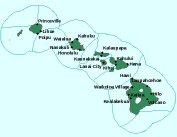
Island Weather: “Greatest Risk of Flooding as Land is Heated”
A
A
A
Flood watch map courtesy NOAA/NWS, Oct. 15, 2013.
By Maui Now Staff
A flash flood watch remains in effect until 6 p.m. for all of the Hawaiian islands.
Forecasters from the National Weather Service say unstable atmospheric conditions continue across the state, with localized heavy rainfall and thunderstorms possible today.
ARTICLE CONTINUES BELOW AD
“The greatest risk for flooding rain will occur during the daytime hours as the land is heated,” the advisory stated.
Forecasters say “very high rainfall rates of two to four inches per hour” are possible.
As a precaution, the public is advised to monitor the latest forecasts, and be prepared to take action should a flood warning be issued.
ADVERTISEMENT
ADVERTISEMENT
Sponsored Content


Subscribe to our Newsletter
Stay in-the-know with daily or weeklyheadlines delivered straight to your inbox.
Comments
This comments section is a public community forum for the purpose of free expression. Although Maui Now encourages respectful communication only, some content may be considered offensive. Please view at your own discretion. View Comments


