


Island forecast
Kahului, Maui Weather
Clear daily guidance, radar access and the latest regional weather reporting in one place.
Multi-day outlook
Forecast timeline
Scroll for the full forecast
Overnight
Monday
Monday Night
Tuesday
Tuesday Night
Wednesday
Wednesday Night
Thursday
Thursday Night
Friday
Friday Night
Saturday
Saturday Night
Sunday
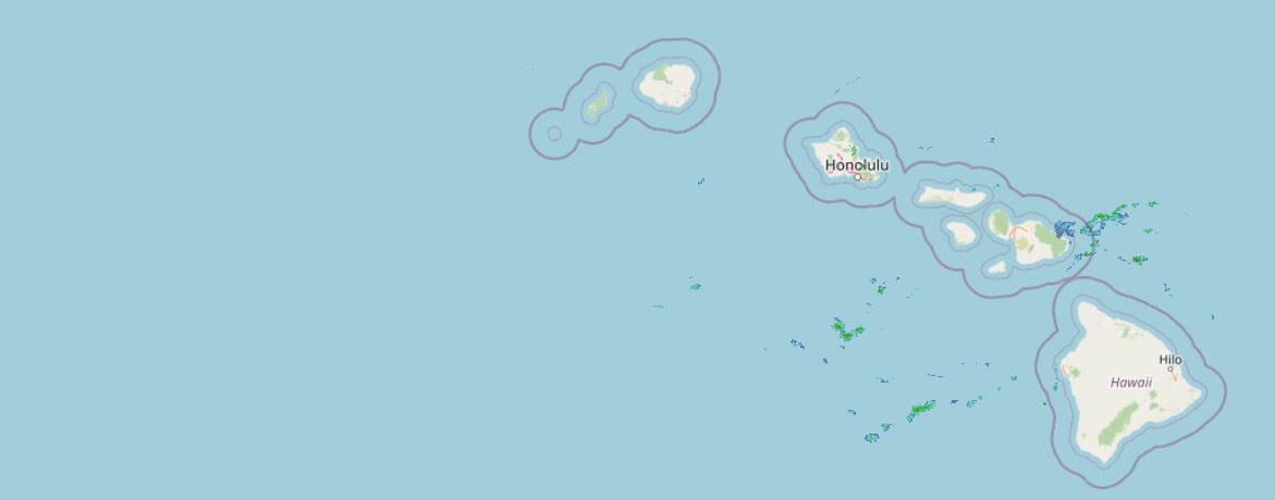 Weather Radar
Regional forecast
Regional Maui Weather Forecast August 02, 2026

West Side
Today: Sunny and breezy. Isolated showers in the afternoon. Highs 77 to 85. Northeast winds 10 to 20 mph. Chance of rain 20 percent.
Tonight: Breezy. Partly cloudy with isolated showers. Lows 70 to 77. Northeast winds 10 to 20 mph decreasing to up to 15 mph after midnight. Chance of rain 20 percent.
Monday: Mostly sunny with isolated showers. Highs 78 to 86. East winds up to 15 mph. Chance of rain 20 percent.
South Side
Today: Sunny and breezy. Highs around 87. Northeast winds 10 to 20 mph.
Tonight: Mostly clear. Breezy. Lows 71 to 79. Northeast winds 10 to 20 mph shifting to the north up to 20 mph after midnight.
Monday: Sunny and breezy. Isolated showers in the morning. Highs around 88. North winds up to 20 mph increasing to 10 to 20 mph in the afternoon. Chance of rain 20 percent.
North Shore
Today: Mostly sunny in the morning then becoming partly sunny. Breezy. Scattered showers. Highs around 81 near the shore to around 65 near 5000 feet. East winds 10 to 20 mph decreasing to up to 20 mph in the afternoon. Chance of rain 40 percent.
Tonight: Breezy. Mostly cloudy with scattered showers. Lows around 72 near the shore to around 56 near 5000 feet. East winds 10 to 20 mph decreasing to up to 15 mph after midnight. Chance of rain 50 percent.
Monday: Partly sunny with scattered showers. Highs around 81 near the shore to around 66 near 5000 feet. East winds up to 15 mph. Chance of rain 50 percent.
Central Maui
Today: Sunny and breezy. Isolated showers in the afternoon. Highs 80 to 88. Northeast winds 10 to 20 mph. Chance of rain 20 percent.
Tonight: Breezy. Partly cloudy with isolated showers. Lows 70 to 76. Northeast winds 10 to 20 mph decreasing to up to 15 mph after midnight. Chance of rain 20 percent.
Monday: Mostly sunny with isolated showers. Highs 81 to 88. Northeast winds up to 15 mph increasing to 10 to 15 mph in the afternoon. Chance of rain 20 percent.
Upcountry
Today: Breezy. Mostly sunny with isolated showers. Highs around 63 at the visitor center to around 71 at the summit. East winds up to 20 mph. Chance of rain 20 percent.
Tonight: Partly cloudy. Isolated showers in the evening, then scattered showers after midnight. Lows around 52 at the visitor center to around 48 at the summit. East winds up to 15 mph. Chance of rain 50 percent.
Monday: Mostly sunny with scattered showers. Highs around 65 at the visitor center to around 70 at the summit. East winds up to 10 mph. Chance of rain 50 percent.
East Maui
Today: Mostly sunny in the morning then becoming partly sunny. Breezy. Scattered showers. Highs around 81 near the shore to around 65 near 5000 feet. East winds 10 to 20 mph decreasing to up to 20 mph in the afternoon. Chance of rain 40 percent.
Tonight: Breezy. Mostly cloudy with scattered showers. Lows around 72 near the shore to around 56 near 5000 feet. East winds 10 to 20 mph decreasing to up to 15 mph after midnight. Chance of rain 50 percent.
Monday: Partly sunny with scattered showers. Highs around 81 near the shore to around 66 near 5000 feet. East winds up to 15 mph. Chance of rain 50 percent.
Lanai City
Today: Sunny and breezy. Highs 72 to 82. Northeast winds 10 to 25 mph.
Tonight: Mostly clear. Breezy. Lows 66 to 71. Northeast winds 10 to 25 mph.
Monday: Mostly sunny. Highs 72 to 82. Northeast winds up to 15 mph.
Kaunakakai
Today: Breezy. Mostly sunny with isolated showers. Highs 71 to 88. Northeast winds 10 to 25 mph. Chance of rain 20 percent.
Tonight: Mostly clear. Breezy. Scattered showers after midnight. Lows 62 to 76. Northeast winds 10 to 20 mph. Chance of rain 40 percent.
Monday: Sunny. Scattered showers in the morning, then isolated showers in the afternoon. Highs 69 to 89. Northeast winds 10 to 15 mph. Chance of rain 40 percent.
Detailed Forecast
Synopsis
Strong high pressure to the north will slowly weaken over the next several days. As a result, the windy trade winds will gradually decrease back down to normal levels into next week. Showers will favor windward and mauka areas for the next few days before potentially increasing slightly during the middle of next week.
Discussion
Satellite and radar imagery shows low clouds and scattered windward and mauka showers occurring across the state. Winds will gradually decrease over the next few days. By midweek, trades will further ease as Tropical Storm Genevieve weakens to a post- tropical depression and tracks far northeast of the state, disrupting trade wind flow. Bands of moisture will move over the state, returning typical scattered showers to windward and mauka slopes. Model guidance continue to show a tropical upper level trough shifting just northwest of Kauai by the middle of the week. In addition an area of enhanced moisture may move from east to west across the state. If this comes to fruition, expect a steady increase in low to upper level moisture/clouds and increasing chances moderate to locally heavy windward and mauka showers, especially for the western half of the state.
Aviation
Generally VFR with breezy trade winds through the day. Occasional MVFR ceilings and visibilities within more organized SHRA primarily over windward and upslope mauka exposures.
Breezy to locally windy trades resulting in moderate low level turbulence over and immediately S through W of mountainous terrain will keep an AIRMET Tango in effect this morning. Slightly lifted decks over Oahu and Kauai's higher terrain will allow AIRMET SIERRA to expire this morning.
Marine
A high pressure system north of the Hawaiian Islands will weaken over the next few days, decreasing trade wind speeds from moderate to strong range today into the gentle to fresh range from Monday through Thursday. The Small Craft Advisory (SCA) coverage was lowered this morning to the typical windier waters and channels near Maui and the Big Island, this SCA will continue through tonight and then likely be cancelled by Monday morning.
Surf along south facing shores will stay below seasonal averages as consecutive small south to southwest medium period swells impact the shorelines into Friday. The next small, long period south swell will arrive by Saturday with a slight bump in south shore surf heights through next weekend. Possibly a larger long period south swell arriving early next week.
East facing shores will remain rough and choppy today due to a combination of strong trade wind waves and a small, medium period easterly swell generated from Tropical Storm Genevieve that will linger for next few days.
Surf along north facing and west shores will remain flat to tiny through the forecast period except for areas exposed to the easterly trade wrap and the small south swell wrap around. near
Fire weather
Trades will continue to decrease across the state over the next few days. Scattered windward na mauka showers can be expected in the overnight and early morning hours. A steady increase in low to upper level moisture could also fill in across the state next week if an upper level low ends up moving close to the islands. This could also raise the inversion and lower fire weather risks. Inversion heights are between 7,000 and 8,000 feet.
HFO Watches/Warnings/Advisories
Small Craft Advisory until 6 AM HST early this morning for Kauai Northwest Waters, Kauai Windward Waters, Kauai Leeward Waters, Kauai Channel, Oahu Windward Waters, Oahu Leeward Waters, Kaiwi Channel, Maui County Windward Waters, Maui County Leeward Waters, Big Island Windward Waters.
Small Craft Advisory until 6 AM HST Monday for Maalaea Bay, Pailolo Channel, Alenuihaha Channel, Big Island Leeward Waters, Big Island Southeast Waters.
Check out their Maui Helicopter Tours today!
Data Courtesy of NOAA.gov


