

Storm in South Pacific Generates South Swell Today
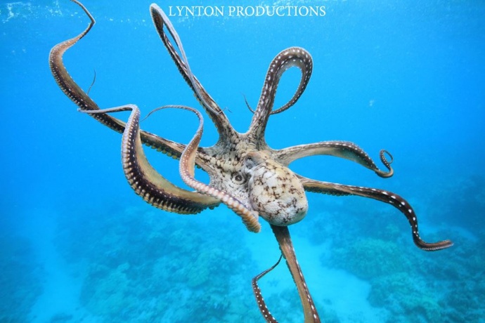
Image: Aaron Lynton
By Meteorologist Malika Dudley / Email: malika@mauinow.com
Alerts
There are no marine alerts posted at this time.
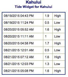
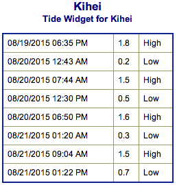
**Click directly on the images below to make them larger. Charts include: Maui County projected winds, tides, swell direction & period and expected wave heights.**
 Maui Surf Forecast
North: Wave heights of about knee/thigh high are expected today. Many spots remain flat today. Spots open to trade swell could get up to waist or chest high on the sets.
West: Wave heights knee/waist high are expected at the best breaks. Spots shadowed by other islands will be nearly flat.
South: Wave heights waist/chest high are expected at the best breaks.
Trade swell is expected to hold over the next few days.
 A storm near New Zealand is expected to send us a decent swell Thursday into the weekend. The swell should begin to fade on Sunday and into next week.
A small west swell generated by Typhoon Atsani is expected to move in on the weekend. This system could go extratropical next week and curve northwest. If so, we could get more swell out of this system.
An area to the southeast of Hawaii has 60% chance of development. If so, we could see some wind swell as early as this weekend. Keeping a close eye on this system and will bring you the latest.
Keep in mind, surf heights are measured on the face of the wave from trough to crest. Heights vary from beach to beach, and at the same beach, from break to break.
**Click here for your detailed Maui County weather report.**
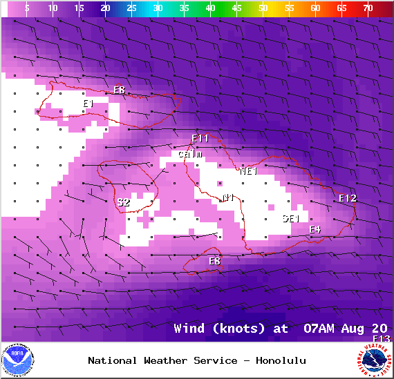
Image: NOAA / NWS
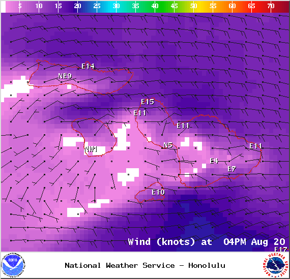
Image: NOAA / NWS
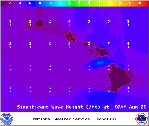
Image: NOAA / NWS
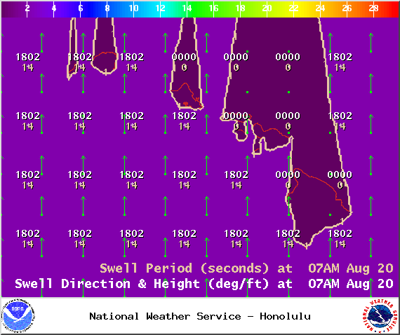
Image: NOAA / NWS
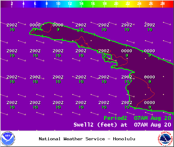
Image: NOAA / NWS
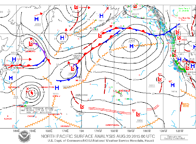
Image: NOAA / NWS
Sponsored Content


