January 30, 2019 Surf Forecast
Swell Summary
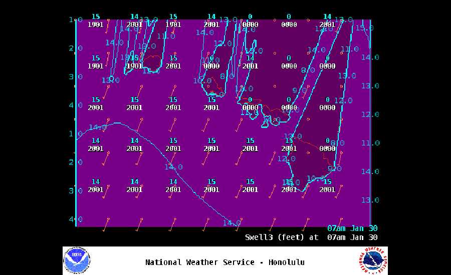
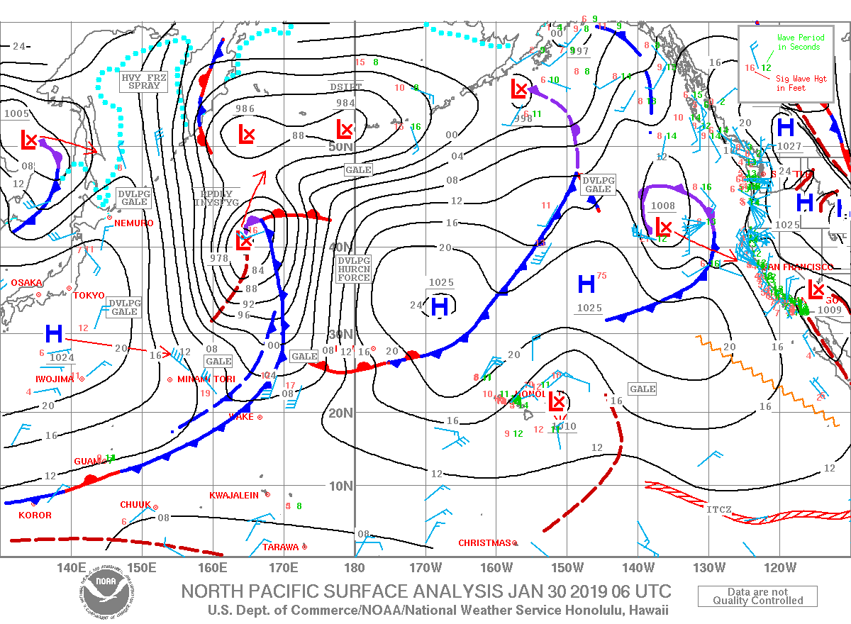
Outlook through Wednesday February 06: The incoming large west-northwest swell will build today, peak at advisory levels along north and west facing shores Thursday into Thursday night, then lower through the end of the week. A new moderate west-northwest swell is expected to peak below advisory levels along north and west facing shores late Saturday through Sunday. Another moderate west-northwest swell is expected to arrive early next week, and may bring surf close to the advisory level across north and west facing shores. Strong north to northeast winds will keep surf around advisory levels across east facing shores through the remainder of the work week, with a slow decline expected over the weekend. Surf will remain small along south facing shores through early next week.
Surf heights are forecast heights of the face, or front, of waves. The surf forecast is based on the significant wave height, the average height of the one third largest waves, at the locations of the largest breakers. Some waves may be more than twice as high as the significant wave height. Expect to encounter rip currents in or near any surf zone.
North
am ![]()
![]() pm
pm ![]()
![]()
Surf: Head high NNE medium period swell.
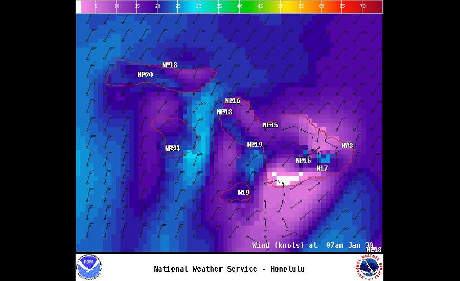
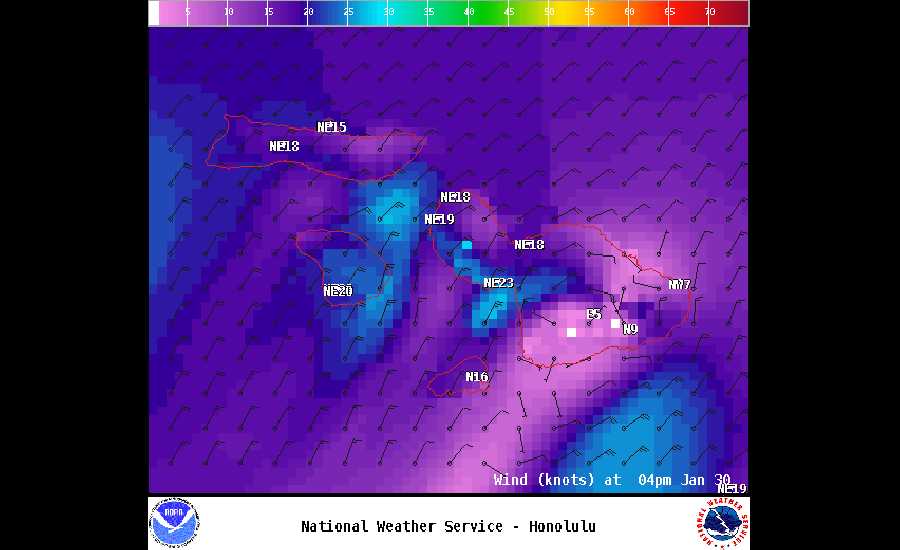
Conditions: Choppy/sideshore current with ENE winds 15-20mph.
South
am ![]()
![]() pm
pm ![]()
![]()
Surf: Knee high SSW long period swell for the morning going more WNW during the day.
Conditions: Clean with NNE winds 15-20mph.
West
am ![]()
![]() pm
pm ![]()
![]()
Surf: Stomach to shoulder high NNE medium period swell.
Conditions: Clean with NE winds 15-20mph.
**Click directly on the images below to make them larger. Charts include: Maui County projected winds, tides, swell direction & period and expected wave heights.**
Data Courtesy of NOAA.gov and SwellInfo.com


