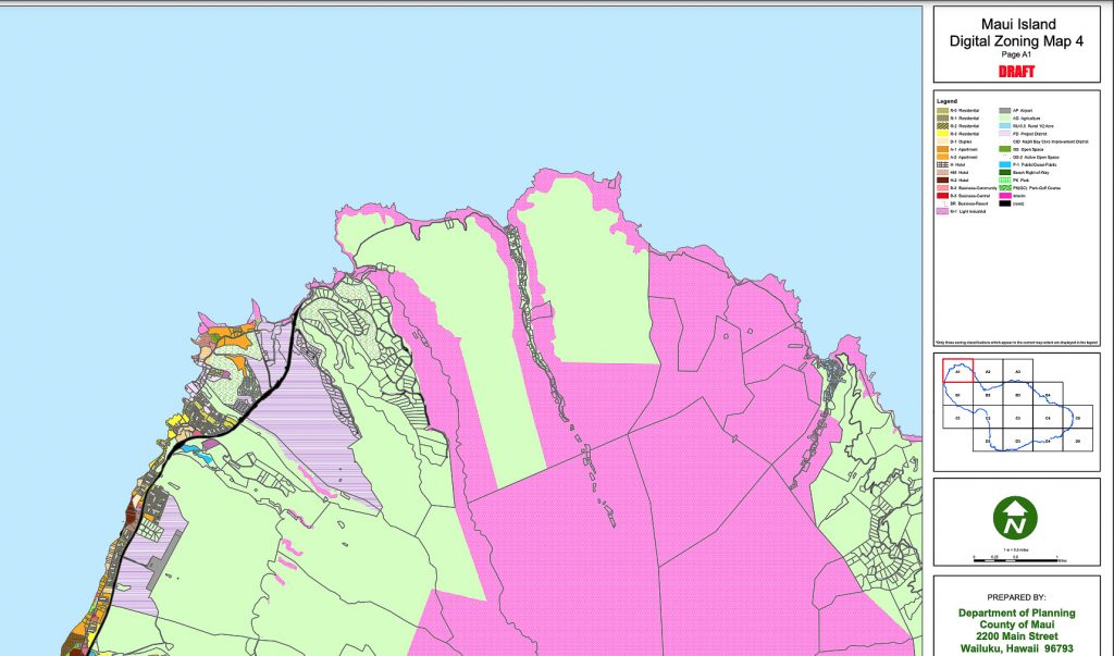
County committee to consider adopting amendments to Maui Digital Zoning Map

The Maui County Planning and Sustainable Land Use Committee will consider a bill to adopt amendments to the Maui Digital Zoning Map for 13 parcels that are zoned P-1, M-1, PK, R-2 and R-2 at a public meeting on Aug. 3 at 1:30 p.m.
Bill 66 of 2022 proposes to adopt the most recently amended Maui Digital Zoning Map (4) as the official zoning map for the Island of Maui. The digital zoning maps are available at https://www.mauicounty.gov/2159/Digital-Zoning-Map-Update-Project.
“The process of updating digital zoning maps can address minor revisions, but can also propose policy changes to rezone certain properties,” said Council member Tamara Paltin, Chair of the committee. “These updates aim to have zoning designations consistent with a property’s use, community plan designation and state land use classification.”
As part of this phase of the digital mapping project, the Planning Department recommends changing the zoning of 13 parcels to P-2 Public/Quasi Public District.
The parcels involve UH Maui College, Kīhei Fire Station, Maui High School, Kula Hospital, Maui Memorial Medical Center, Baldwin High School, Wailuku Police Station, Kīhei Police Station, Wailea Fire Station, Kīhei High School and Kamehameha Maui Schools.
Paltin said the committee also will discuss the South Maui Community Plan update process, including a review of selected finalists for nomination to the Community Plan Advisory Committee, or CPAC.
Members of the public can view the meeting on Akaku Channel 53 or provide testimony in person at the Mayor’s Conference Room or via the video conference link or phone number listed on the meeting agenda at MauiCounty.us/agendas.
The committee also will accept written testimony. For instructions on submitting written testimony, go to MauiCounty.us/ecomment.
For more information, go to MauiCounty.us or contact the committee staff at 808-270-7838.


_1768613517521.webp)


