HVO live stream video of fissure 3 at Mauna Loa shows 130 foot lava fountain

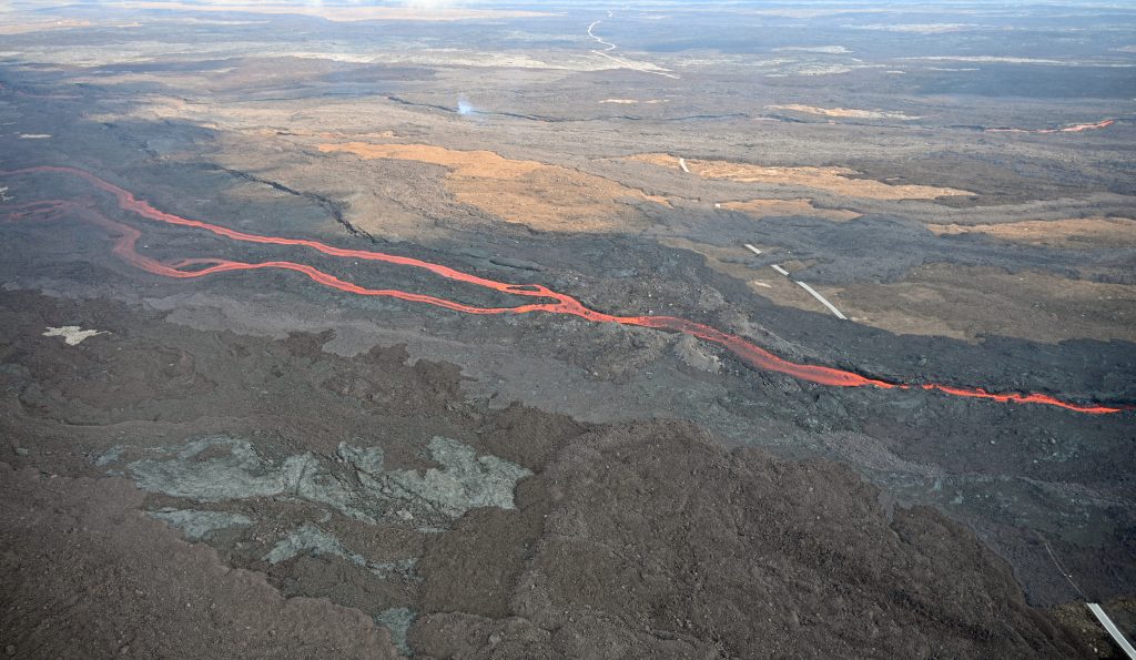
Visitors continue to flock to Mauna Loa where a fissure is sending a fountain of lava about 130 feet into the air.
Authorities continue to urge people to view the current eruption from safe, established viewing locations. The Old Saddle Road lava viewing area between the 28.5-mile marker to the 34-mile marker remained open at last report.
Live video of fissure 3 is also available via YouTube stream by the USGS HVO below.
The camera is located roughly 1 mi (1.6 km) East of fissure 3 and looks west.
VC: USGS/HVO
Described as the world’s largest active volcano, Mauna Loa began its latest eruption on Sunday, Nov. 27 in the summit caldera. It has been 38 years since an eruption was recorded at the site.
The eruption has proceeded down the Northeast Rift Zone and was advancing at a rate of 68 feet per hour at last report. The USGS Hawaiian Volcano Observatory reports that the leading flow edge was last located about 1.93 miles from the Daniel K. Inouye Highway (Saddle Road), as of 5 p.m. on Tuesday, Dec. 6, 2022. This rate of advance is about twice the rate for the past several days, according to the HVO.

On Monday, 20 Hawai‘i National Guard service members were activated to assist Hawaiʻi County with the ongoing eruption. State officials say the troops will work with law enforcement to support traffic control near the Daniel K. Inouye Highway.
Resources and links:
- The Hawaiʻi County Civil Defense agency has a web page on volcano hazards with maps of inundation zones and hazard zones. Alerts are posted here.
- Hawai‘i Volcanoes National Park has closed the Mauna Loa summit area to visitors.
- Vog information can be found here.
- What does a warning and warning alert level mean? Find out here.
- HVO: Preparing for the next eruption of Earth’s largest active volcano.
- Lava Flows from Mauna Loa (1843-2018)
- Mauna Loa Eruption Response Times over the past 200 years
- Current alerts.
- Mauna Loa webcams.
- Frequently Asked Questions about Mauna Loa Volcano


