


Sunday Updates: Kona low brings threat of showers and thunderstorms
*Monday storm updates are posted at the following LINK.
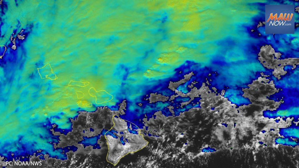
Hawaiʻi is in for wet weather as showers and thunderstorms capable of producing strong winds and hail pass through the state tonight and Monday.
The National Weather Service reports a strong front is moving rapidly toward the main Hawaiian Islands, bringing periods of heavy showers and thunderstorms through Monday night. Strong and damaging southwest, or kona, winds will also develop tonight and continue through Monday.
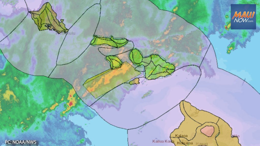
“Although individual showers will tend to move quickly, intense rain rates and the potential for training cells will lead to increased potential for flash flooding,” the NWS reports.
Warnings, Watches, Advisories:
The agency has issued multiple warnings, watches and advisories including the following:
- Flood Watch for all Hawaiian Islands from this morning through Tuesday morning.
- High Wind Warning for all islands from tonight through Monday at 6 p.m. Southwest winds of 20-40 mph with gusts up to 60 mph are expected, especially over and downwind of terrain.
- High Surf Warning for the north and west facing shores of Ni’ihau, Kauai, O’ahu and Moloka’i, and north facing shores of Maui from tonight to Tuesday night. The forecast calls for dangerously large breaking waves of 25-40 feet
- Winter Storm Warning for the Big Island summits has been extended to 6 a.m. Tuesday. The NWS says blizzard conditions are expected. Light snow accumulations tonight will be followed by periods of heavy snow developing Monday. Total snow accumulations of up to 14 inches are in the forecast, with wind gusts as high as 135 mph will cause significant blowing and drifting snow.
Expired:
- Maui Flood Warning: is in effect until 4:30 p.m. At 1:27 p.m., radar showed heavy rain occurring across several areas of the island. Rain was falling at a rate of 1.5-2.5 inches per hour since earlier this morning. Additional heavy rain and thunderstorms will move across the county this afternoon. Flash flooding is ongoing or expected to begin shortly. Locations expected to experience flash flooding include: Kahului, Kīhei, Lahaina, Kula, Pukalani, Makawao, Kēōkea, Hāliʻimaile, Pāʻia, Puʻunēnē, Haʻikū-Paʻuwela, Wailea, Māʻalaea, ʻUlupalakua, Huelo, Mākena, Waikapū, Wailuku and Waiehu. This replaces a Flood Advisory for Maui that was issued earlier today. There is also a Flood Watch in effect for the entire state through 6 a.m. on Tuesday.
- Molokaʻi Flood Advisory: extended to 4:15 p.m., Dec. 18, 2022. At 2:33 p.m., radar showed locally heavy rain continuing over the island of Molokaʻi. Rain was falling at a rate of 1-2 inches per hour. The heaviest rainfall has slowly moved eastward and has become centered across locations east of Molokaʻi Airport. Additional bands of heavy rain and isolated thunderstorms will continue this afternoon. Some locations that will experience flooding include: Kualapuʻu Kaunakakai, Hoʻolehua, Kalaupapa National Park, Kawela, Kamala, Maunaloa, ʻUalapuʻe, Pūkoʻo, Kepuhi, Hālawa Valley and Molokaʻi Airport.
- Lānaʻi Flood Advisory: is in effect until 3 p.m. At 12:14 p.m., radar showed heavy rain over the island of Lānaʻi, falling at a rate of 1-2 inches per hour. Some locations that will experience flooding include: Lānaʻi City, Mānele and Lānaʻi Airport.
- Special Marine Warning: for Kauaʻi Channel, leeward and windward waters until 4:45 p.m. At 2:42 p.m., a strong thunderstorm capable of producing waterspouts was located over Port Allen, or over Eleele, moving northeast at 20 knots. The NWS advises that waterspouts can easily overturn boats and create locally hazardous seas. Small craft could be damaged in briefly higher winds and suddenly higher waves. The agency advises mariners encountering waterspouts to stay low or go below, and make sure all on board are wearing life jackets.
*This post will be updated throughout the day.

Sponsored Content


