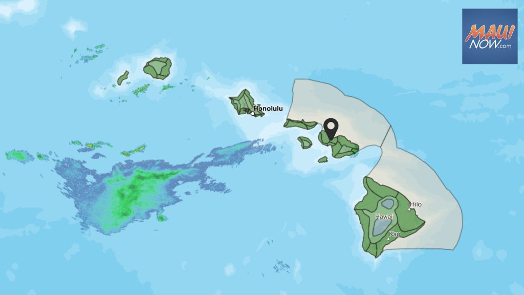
Kona low prompts Flood Watch through Monday afternoon for Hawaiian Islands

The National Weather Service has issued a Flood Watch for all Hawaiian Islands though Monday afternoon.
A kona low will develop north of Kauaʻi late Saturday night and drift southwest Sunday before moving to the west Monday, according to the NWS.
“Deep moisture within an increasingly unstable environment will spread across all islands. Thicker offshore cloud bands caught up within southeasterly to southerly winds will produce periods of moderate to locally heavy rainfall and possible isolated thunderstorms as these bands come onshore,” according the NWS forecast.
For Big Island and Maui County, the greatest flood risk remains along southeast facing mountain slopes as southerly flow more efficiently lifts rich moisture up these slopes.
Locally heavy rainfall across Oʻahu and Kauaʻi will also increase the threat for flooding during the watch period.
The NWS reports that lingering instability over some islands may extend the timing of this Flood Watch into Tuesday.
The public is advised to monitor later forecasts and be prepared to take action should Flash Flood Warnings be issued.


