Maui Weather Forecast for July 22, 2026
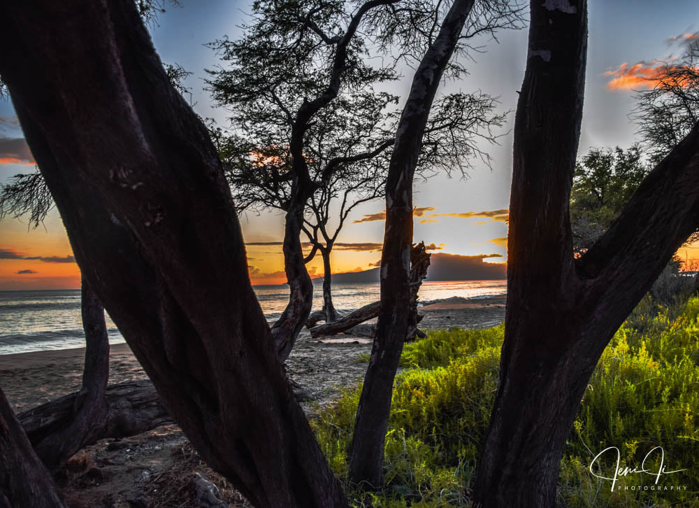
West Side
Today: Breezy. Sunny with isolated showers. Highs 79 to 86. East winds up to 20 mph. Chance of rain 20 percent.
Tonight: Breezy. Partly cloudy with isolated showers. Lows 70 to 78. Northeast winds up to 20 mph increasing to 10 to 20 mph after midnight. Chance of rain 20 percent.
Thursday: Sunny and breezy. Isolated showers in the morning. Highs 79 to 85. Northeast winds 10 to 20 mph. Chance of rain 20 percent.
South Side
Today: Sunny and breezy. Highs around 88. North winds up to 25 mph.
Tonight: Mostly clear. Breezy. Lows 70 to 78. Northeast winds up to 25 mph.
Thursday: Sunny and breezy. Highs around 87. Northeast winds up to 20 mph. Gusts up to 40 mph in the afternoon.
North Shore
Today: Partly sunny in the morning then becoming mostly sunny. Breezy. Scattered showers. Highs around 82 near the shore to around 65 near 5000 feet. East winds up to 20 mph. Chance of rain 50 percent.
Tonight: Mostly cloudy. Breezy. Scattered showers in the evening, then numerous showers after midnight. Lows around 73 near the shore to around 55 near 5000 feet. East winds up to 20 mph. Chance of rain 70 percent.
Thursday: Breezy. Partly sunny with scattered showers. Highs around 82 near the shore to around 65 near 5000 feet. East winds 10 to 20 mph. Gusts up to 40 mph in the afternoon. Chance of rain 50 percent.
Central Maui
Today: Sunny and breezy. Highs 80 to 88. Northeast winds up to 20 mph.
Tonight: Breezy. Mostly clear with isolated showers. Lows 70 to 76. Northeast winds 10 to 20 mph. Chance of rain 20 percent.
Thursday: Sunny and breezy. Isolated showers in the morning. Highs 80 to 88. Northeast winds 10 to 25 mph. Chance of rain 20 percent.
Upcountry
Today: Mostly sunny with isolated showers. Highs around 62 at the visitor center to around 69 at the summit. Northeast winds up to 15 mph. Chance of rain 20 percent.
Tonight: Partly cloudy with scattered showers. Lows 46 to 59. East winds up to 15 mph. Chance of rain 50 percent.
Thursday: Mostly sunny. Breezy. Scattered showers in the morning, then isolated showers in the afternoon. Highs around 62 at the visitor center to around 74 at the summit. East winds up to 15 mph increasing to up to 25 mph in the afternoon. Chance of rain 50 percent.
East Maui
Today: Partly sunny in the morning then becoming mostly sunny. Breezy. Scattered showers. Highs around 82 near the shore to around 65 near 5000 feet. East winds up to 20 mph. Chance of rain 50 percent.
Tonight: Mostly cloudy. Breezy. Scattered showers in the evening, then numerous showers after midnight. Lows around 73 near the shore to around 55 near 5000 feet. East winds up to 20 mph. Chance of rain 70 percent.
Thursday: Breezy. Partly sunny with scattered showers. Highs around 82 near the shore to around 65 near 5000 feet. East winds 10 to 20 mph. Gusts up to 40 mph in the afternoon. Chance of rain 50 percent.
Lanai City
Today: Sunny and breezy. Highs 73 to 82. Northeast winds up to 25 mph.
Tonight: Mostly clear. Breezy. Isolated showers after midnight. Lows 66 to 71. Northeast winds 10 to 25 mph. Chance of rain 20 percent.
Thursday: Sunny and breezy. Highs 73 to 82. Northeast winds 10 to 20 mph.
Kaunakakai
Today: Sunny and breezy. Highs 70 to 88. East winds up to 20 mph increasing to 10 to 20 mph in the afternoon.
Tonight: Mostly clear. Breezy. Isolated showers in the evening, then scattered showers after midnight. Lows 61 to 76. Northeast winds up to 20 mph. Chance of rain 50 percent.
Thursday: Sunny and breezy. Highs 70 to 88. East winds 10 to 25 mph with gusts to 45 mph.
Detailed Forecast
Synopsis
Moderate to breezy trade winds will increase through the week and deliver showers to windward and mountain areas.
Discussion
Current radar and satellite imagery this morning show isolated to scattered showers passing through windward and mountain areas of all islands. This summer time trade wind shower pattern should continue through at least the weekend with minor fluctuations in rainfall as pockets of slightly drier and wetter air move through with the trade winds. A stable ridge overhead will keep most of these showers on the lighter side.
The trade winds will be supported by building high pressure to the north, becoming breezy to locally strong today through the remainder of the week. A weakening TC Fausto then approaches the area early next week with guidance generally tracking the system near or just north of the islands during the mid- week period. So far it is too early to know exact details on how this storm will effect our weather, as it will be heavily dependent on the eventual track and intensity.
Aviation
Light shower activity will continue to wane through the morning, however periodic MVFR remains possible across windward sites so long as shower activity persists. Moderate trades are expected through the forecast period, with skies partially clearing across the islands by the afternoon.
AIRMET Sierra is in effect for the windward Kauai, Oahu, and Maui due to low clouds from ongoing showers. Conditions, however, are expected to improve by the afternoon.
Marine
High pressure far northeast of the state will maintain fresh to locally strong trades through tonight. A Small Craft Advisory (SCA) remains in effect for the typical windier channels and waters around Maui and the Big Island. Trades are expected to strengthen another notch Thursday into Friday as a 1036 mb high develops far north of the state. Widespread fresh to strong winds are expected during this time with near gales possible for the windier waters around Maui County and the Big Island. The SCA will be expanded to other area waters as the trades pick up later this week. The strong high to the north is expected to eventually shift westward and weaken some, which should allow the trade winds to weaken a notch around Sunday.
The current medium-period south-southeast swell producing above average surf along south-facing shores will continue to gradually fade over the next few days. Forerunners from the next notable incoming south swell will slowly fill in throughout the day today into Thursday and peak late Thursday into Friday with surf heights above advisory thresholds. Offshore buoys are showing an increase in 23 second energy this morning, so we should see some very long-period energy slowly fill in today. Surf should reach High Surf Advisory (HSA) thresholds by Thursday with surf heights approaching warning levels during its peak. Over the weekend, reinforcing long-period swell energy may allow HSA conditions to persist through the weekend.
Surf along east-facing shores will gradually increase over the next several days as the trades strengthen. The Hilo buoy continues to show a small, medium- period east swell this morning, which was likely generated by former TC Elida. This swell should peak today into tonight with near seasonal level surf. This weekend, larger surf generated by Hurricane Fausto is possible and could bring advisory level surf along east facing shores.
Surf along north-facing shores will remain at flat to tiny levels through the weekend.
HFO Watches/Warnings/Advisories
Small Craft Advisory until 6 AM HST Thursday for Alenuihaha Channel, Big Island Leeward Waters, Big Island Southeast Waters, Maalaea Bay, Pailolo Channel.
Check out their Maui Helicopter Tours today!
Data Courtesy of NOAA.gov
Sponsored Content