


Maui Weather Forecast for August 30, 2026
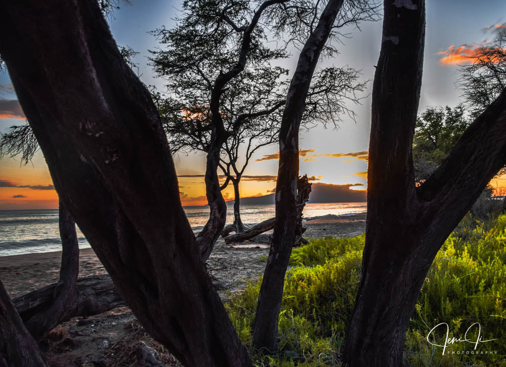
West Side
Today: Sunny and breezy. Highs 80 to 86. Northeast winds 10 to 20 mph.
Tonight: Mostly clear. Breezy. Isolated showers after midnight. Lows 71 to 77. Northeast winds 10 to 25 mph. Chance of rain 20 percent.
Monday: Breezy. Sunny with isolated showers. Highs 79 to 86. Northeast winds 10 to 25 mph. Chance of rain 20 percent.
South Side
Today: Sunny and breezy. Highs around 87. Northeast winds up to 20 mph.
Tonight: Mostly clear. Breezy. Lows 71 to 79. Northeast winds up to 20 mph increasing to 10 to 25 mph after midnight.
Monday: Sunny and breezy. Isolated showers in the morning. Highs around 87. North winds 10 to 25 mph. Chance of rain 20 percent.
North Shore
Today: Breezy. Mostly sunny with scattered showers. Highs around 81 near the shore to around 68 near 5000 feet. East winds up to 20 mph. Chance of rain 50 percent.
Tonight: Partly cloudy in the evening then becoming mostly cloudy. Breezy. Scattered showers. Lows around 73 near the shore to around 58 near 5000 feet. East winds 10 to 25 mph. Chance of rain 50 percent.
Monday: Partly sunny. Breezy. Showers likely in the morning, then scattered showers in the afternoon. Highs around 81 near the shore to 66 to 71 near 5000 feet. East winds 15 to 25 mph. Chance of rain 70 percent.
Central Maui
Today: Sunny and breezy. Highs 81 to 87. Northeast winds 10 to 20 mph.
Tonight: Mostly clear. Breezy. Isolated showers after midnight. Lows around 73. Northeast winds 10 to 20 mph. Chance of rain 20 percent.
Monday: Breezy. Mostly sunny with isolated showers. Highs 81 to 87. Northeast winds 10 to 25 mph. Chance of rain 20 percent.
Upcountry
Today: Mostly sunny with isolated showers. Highs around 66 at the visitor center to around 73 at the summit. East winds up to 15 mph. Chance of rain 20 percent.
Tonight: Partly cloudy. Breezy. Isolated showers in the evening, then scattered showers after midnight. Lows around 55 at the visitor center to around 53 at the summit. East winds up to 20 mph increasing to 10 to 20 mph after midnight. Chance of rain 50 percent.
Monday: Breezy. Mostly sunny with scattered showers. Highs around 70 at the visitor center to around 74 at the summit. East winds 10 to 20 mph. Chance of rain 50 percent.
East Maui
Today: Breezy. Mostly sunny with scattered showers. Highs around 81 near the shore to around 68 near 5000 feet. East winds up to 20 mph. Chance of rain 50 percent.
Tonight: Partly cloudy in the evening then becoming mostly cloudy. Breezy. Scattered showers. Lows around 73 near the shore to around 58 near 5000 feet. East winds 10 to 25 mph. Chance of rain 50 percent.
Monday: Partly sunny. Breezy. Showers likely in the morning, then scattered showers in the afternoon. Highs around 81 near the shore to 66 to 71 near 5000 feet. East winds 15 to 25 mph. Chance of rain 70 percent.
Lanai City
Today: Sunny and breezy. Highs 73 to 83. Northeast winds 10 to 20 mph.
Tonight: Mostly clear. Windy. Lows 68 to 73. Northeast winds 10 to 20 mph increasing to 10 to 30 mph after midnight.
Monday: Windy. Sunny with isolated showers. Highs 77 to 84. East winds 10 to 30 mph. Chance of rain 20 percent.
Kaunakakai
Today: Sunny and breezy. Highs 71 to 89. Northeast winds 10 to 20 mph.
Tonight: Mostly clear. Breezy. Isolated showers after midnight. Lows 63 to 77. Northeast winds 10 to 25 mph. Chance of rain 20 percent.
Monday: Sunny and breezy. Isolated showers in the morning. Highs 76 to 89. East winds 15 to 25 mph. Chance of rain 20 percent.
Detailed Forecast
Synopsis
Breezy trades will continue over the next few days then slightly weaken towards the middle of the week. Showers will generally favor windward and mauka areas, particularly during the overnight through early morning hours each day. Tropical Storm Lowell remains far ESE of the main Hawaiian Islands, and uncertainty regarding its track and intensity forecast remains very high at this time.
Discussion
A 1034 mb high far north of the state will continue to produce breezy conditions across the state today. Latest radar and satellite imagery is showing some scattered light showers riding in with the breezy trades early this morning. Shower activity should generally trend down throughout the day today with mostly dry conditions expected this afternoon.
Starting tonight, we should see a slight increase of showers move in with the breezy trades due to a subtle increase of low level moisture. Some passing showers will likely linger across windward and mauka areas through Monday with a few light showers possible over leeward areas as well. Tuesday and Wednesday will also be fairly similar to Monday with some passing showers over windward and mauka areas. Trades may briefly weaken slightly late Tuesday into Wednesday.
For the second half of this week, the weather forecast for Hawaii will be dependent on the track of T.C Lowell. Currently Lowell is a Tropical Storm located near 13N139W and is expected to strengthen into a Hurricane over the next few days. The latest forecast track from the National Hurricane Center (NHC) has Lowell passing around 300 miles south of the Big Island Thursday morning. While the 00Z run from the ECMWF and the 06Z run from the GFS show a slower track but a closer track to the state. The 06Z run from the better performing GDM model shows it further south (roughly 400 miles south of the Big Island) than the official track. So as you can see, there is a lot of spread in the forecast models, thus it is too early to predict any potential impacts to Hawaii at this time. While it is too early to predict any impacts, it is looking likely that we will see windier weather towards the end of this week. How strong the winds will be is yet to be determined…
Aviation
Conditions will be mostly VFR. Trades will continue at breezy speeds, creating occasional turbulence downstream of mountains. In addition, showers will focus on windward sites, but should remain isolated. Low ceilings may occur briefly, but limited moisture should prevent sites from getting bogged down in long- lasting MVFR.
AIRMET Tango is in effect for mod low-level turbulence lee of terrain and may be needed for a few days.
Marine
A strong high pressure system will remain locked in place north of the Hawaiian Islands this week. Moderate to locally strong trade winds will prevail through the week. Tropical Cyclone Lowell may move into the Hawaiian Offshore Waters from Wednesday into Thursday. Wind and weather impacts and timing will be driven by the speed and track of Lowell as it moves towards the region.
The current south swell will slowly decrease over the next several days. Overlapping background small, long and medium period south swell energy will keep small surf heights lingering along south facing shores through the week. The next good boost in south swell energy will arrive and fill in from Tuesday to Wednesday around 2 to 3 feet and an 18 second period. This swell will peak on Wednesday, just below south shore advisory thresholds, and then slowly decline through the end of the week.
Trade wind swell energy will continue to keep elevated surf heights along all east facing shores this week.
Fire weather
Issued at 346 AM HST Sun Aug 30 2026
We saw a fairly dry day across parts of the state yesterday with humidities getting down into the upper 30s for select leeward areas. Another breezy and dry day is expected today with humidities down into the low 40s and possibly upper 30s again for a few leeward areas this afternoon. While fuel conditions do not remain critical at this time due to the abundant rainfall we received over the past several weeks, moderate fire danger will be possible for areas that have not received much rainfall over the past few weeks. An increase of showers and humidities is expected tonight into Monday. While the passing showers should be confined to mainly windward and mauka areas, some higher minimum humidities is expected for Monday. Soundings show the temperature inversion between 5000 to 6000 feet today. We should see the inversion rise to 6000 to 7000 feet on Monday.
HFO Watches/Warnings/Advisories
Small Craft Advisory until 6 PM HST this evening for Alenuihaha Channel, Big Island Leeward Waters, Big Island Southeast Waters, Big Island Windward Waters, Kaiwi Channel, Kauai Channel, Kauai Leeward Waters, Kauai Northwest Waters, Kauai Windward Waters, Maalaea Bay, Maui County Leeward Waters, Maui County Windward Waters, Oahu Leeward Waters, Oahu Windward Waters, Pailolo Channel.
Check out their Maui Helicopter Tours today!
Data Courtesy of NOAA.gov
Sponsored Content
















