

Westerly Atsani Swell to Peak Later Today
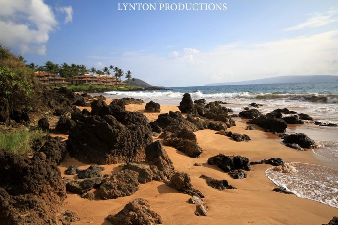
Image: Aaron Lynton
By Meteorologist Malika Dudley / Email: malika@mauinow.com
Alerts
A Flood Watch remains in effect until 6 p.m. Friday for all islands. An unstable and very moist air mass is lingering across the state. This moisture interacting with the land is expected to produce periods of heavy rain and slow-moving downpours that could lead to flash flooding. If that occurs a more urgent Flood Advisory (flooding is imminent) or Flood Warning (flooding is occurring) will be posted by the National Weather Service.
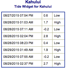
**Click directly on the images below to make them larger. Charts include: Maui County projected winds, tides, swell direction & period and expected wave heights.**
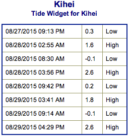 Maui Surf Forecast
North: Wave heights of about knee/waist high are expected today for the best breaks. Best exposures may see bigger waves up to chest high on the sets. Spots not catching the swell will be pretty flat.
West: Wave heights knee/waist/chest high are expected. Best exposures could get up to shoulder high on the sets. Spots shadowed by other islands will be smaller or even flat.
South: Wave heights knee/waist/chest high are expected at the best breaks. Chest/shoulder high waves could be seen on the sets.
Our current south-southeast and south-southwest shifting south swell is expected to hold Friday and Saturday.
 Depending on how Kilo develops we could continue to see swell from it next week.
Atsani has gone extra-tropical and we are expecting a west-northwest swell from Atsani to build Friday and peak late Friday into Saturday. Size will fade from then through the rest of the weekend.
Ignacio and Jimena are also expected to generate swells out of the east-southeast. Timing is currently expected for mid next week but will depend on the eventual track and intensity of the systems.
Keep in mind, surf heights are measured on the face of the wave from trough to crest. Heights vary from beach to beach, and at the same beach, from break to break.
**Click here for your detailed Maui County weather report.**
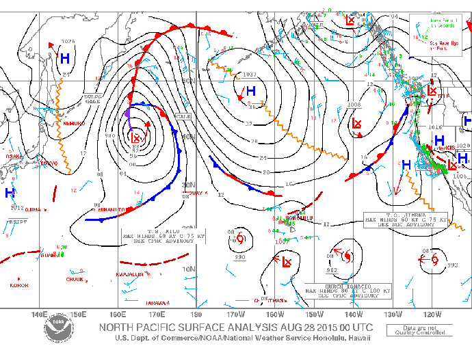
Image: NOAA / NWS
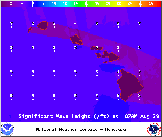
Image: NOAA / NWS
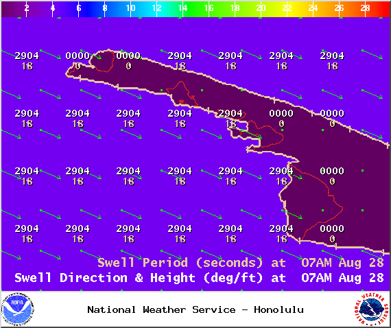
Image: NOAA / NWS
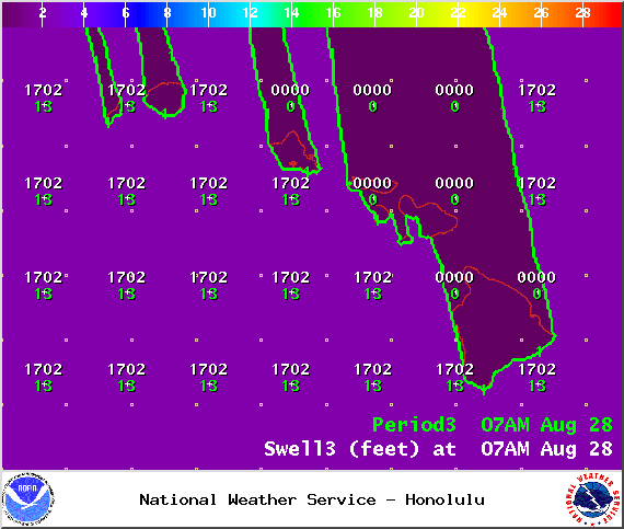
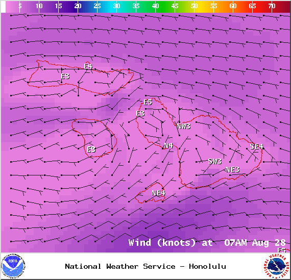
Image: NOAA / NWS
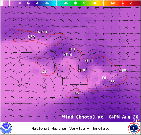
Image: NOAA / NWS
Sponsored Content


