

VIDEO: Afternoon Rains Flood Kahekili Hwy, Waiehu Stream
By Wendy Osher
(Update: 2:56 p.m.; 1:42 p.m.; 12:37 p.m. 9/3/15)
The National Weather Service has cancelled a Flash Flood Warning for the Island of Maui at 2:56 p.m., but a Flood Watch has been extended until 6 p.m. on Friday, Sept. 4, 2015.
NWS forecasters say that at 12:30 p.m., Kahakuloa and Waiheʻe Stream gauges showed a rapid rise in water level from heavy rain near Wailuku. At 1:45 p.m., reports surfaced of water rising to the bridge at the Lower Waiehu Road Bridge that crosses the Waiehu Stream. Water was also reported on the Kahekili Highway up to one foot in depth during the flood warning event.
Authorities with the National Weather Service say streams located along the windward slopes of the West Maui Mountains remained elevated earlier this afternoon.
Other locations in the warning area included Waiehu, and was expanded to include Nāpili, Kapalua, Kahakuloa, Honolua and Honokōhau.
Motorists and pedestrians are reminded not to cross fast flowing or rising water in their vehicle or on foot. Individuals in low-lying areas that are prone to flooding should move to higher ground.
Daily Weather: http://mauinow.com/?p=166058
Daily Surf: http://mauinow.com/?p=166038
All islands also remain under a Flood Watch until 6 p.m. on Friday, Sept. 4, 2015, due to lingering moisture associated with an air mass. This was extended from earlier reports.
Forecasters with the NWS say the air mass, together with a trough of low pressure has created conditions favorable for locally heavy showers and thunderstorms.
The agency says rainfall overnight saturated the soil from Oʻahu to the Big Island of Hawaiʻi. “Showers and thunderstorms are expected to cover only a portion of the state at any one time, but local impacts may be significant and training showers may permit heavy rain to continue at individual locations for extended periods of time.”
The forecast calls for an increase in showers and thunderstorm development in the afternoon and early evening hours.
______________________________
PRIOR REPORTS
(Update: 11:51 a.m., Thursday, Sept. 3, 2015)
The flood advisory has been extended for Maui until 2:45 p.m.
All islands also remain under a Flood Watch until midnight on Friday, Sept. 4, 2015, due to lingering moisture associated with an air mass.
Forecasters with the NWS say the air mass, together with a trough of low pressure has created conditions favorable for locally heavy showers and thunderstorms.
The agency says rainfall overnight saturated the soil from Oʻahu to the Big Island of Hawaiʻi. “Showers and thunderstorms are expected to cover only a portion of the state at any one time, but local impacts may be significant and training showers may permit heavy rain to continue at individual locations for extended periods of time.”
The forecast calls for an increase in showers and thunderstorm development in the afternoon and early evening hours.
(Update: 8:24 a.m., Thursday, Sept. 3, 2015)
A Flood Advisory has been extended until 11:30 a.m. for Maui. The National Weather Service says radar at 8:18 a.m. showed heavy rain six miles west of Hāna. The advisory includes Paʻuwela, Nāhiku, Makawao, Keʻanae, Huelo, Hāliʻimaile and Haʻikū.
(Update: 5:25 a.m., Thursday, Sept. 3, 2015)
A Flood Advisory has been posted for Maui until 8:30 a.m. Forecasters with the National Weather Service say radar at 5:18 a.m. showed heavy rain near Kīpahulu, about 29 miles SE of Kahului.
The rain was moving toward the NE at 5 mph.
Other locations in the advisory include Hāna and Nāhiku.
All islands are also under a Flood Watch until midnight on Friday, Sept. 4, 2015. (Details are posted below)
(Update: 3:30 a.m., Thursday, Sept. 3, 2015)
The National Weather Service issued a Flash Flood Watch for all Hawaiian Islands through midnight tonight due to lingering moisture associated with an air mass.
Forecasters with the NWS say the air mass, together with a trough of low pressure has created conditions favorable for locally heavy showers and thunderstorms.
The agency says rainfall overnight saturated the soil from Oʻahu to the Big Island of Hawaiʻi. “Showers and thunderstorms are expected to cover only a portion of the state at any one time, but local impacts may be significant and training showers may permit heavy rain to continue at individual locations for extended periods of time.”
The forecast calls for an increase in showers and thunderstorm development in the afternoon and early evening hours.

Kahekili Hwy flooding, Sept. 9, 2015. Courtesy image.

Waiehu Stream at around 1 p.m. on 9/3/15, during a Maui Flash Flood Warning event. Image credit: Sky Solbach.

Hydrology image 9/3/15 courtesy NOAA/NWS.

Ominous clouds over Central Maui during Flash Flood Warning event, 9/3/15. Photos by Wendy Osher.

Ominous clouds over Central Maui during Flash Flood Warning event, 9/3/15. Photos by Wendy Osher.
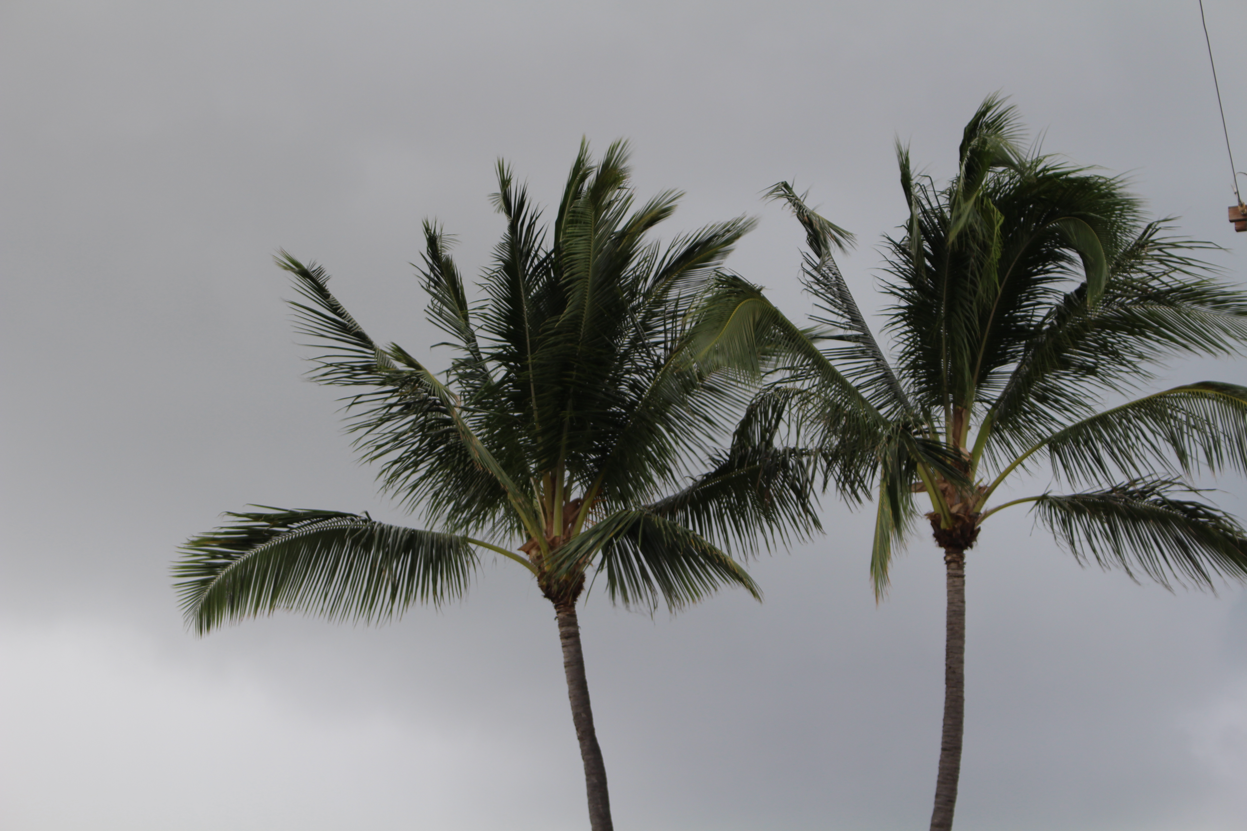
Ominous clouds over Central Maui during Flash Flood Warning event, 9/3/15. Photos by Wendy Osher.

Satellite imagery 9/3/15, credit: NOAA/NWS.

Flood Warning map 11:50 a.m. 9/3/15. Credit: NOAA/NWS.
Sponsored Content


