

Breezy Trade Winds Expected Today
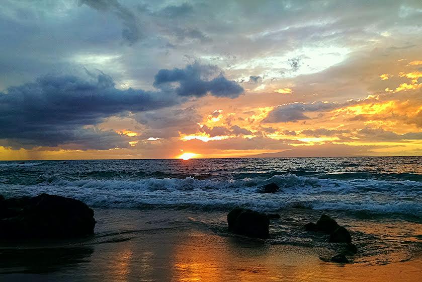
Image: John Varney
Alerts
A Small Craft Advisory is posted for the Pailolo and ʻAlenuihāhā channels as well as Māʻalaea Bay through 6 a.m. Wednesday. East winds up to 25 knots are expected along with rough seas of up to 12 feet. Inexperienced mariners should avoid navigating in these conditions.
A High Surf Advisory is posted for the south facing shores of all islands through 6 a.m. Tuesday for 5 to 8 foot faces. Expect strong breaking waves, shore break and strong longshore and rip currents making swimming difficult and dangerous.
**Click directly on the images below to make them larger. Charts include: Maui County high/low forecasted temperatures, projected winds, projected localized weather conditions and expected wave heights.**
Looking Ahead
Breezy trade winds are expected to stick around through the weekend. Showers are forecast to continue moving across the islands during the next several days with rainfall focusing over windward and mauka areas. Some of the larger showers will reach leeward locations at times. Daytime heating will cause clouds and showers to develop over the Kona slopes each afternoon.
Today
We expect partly to mostly cloudy skies today with morning showers likely in windward and mauka spots. Showers will taper off for the afternoon. Leeward areas in Maui County may see showers occasionally drifting over from windward spots. High temperatures from 84° to 89°. Northeast winds are expected from 15 to 25 mph.
UV index at 11 (“extreme” exposure level)
Tonight
Northeast winds are expected this evening from 15 to 25 mph. Low temperatures from 72° to 77°. Partly to mostly cloudy skies are expected in the evening with showers likely for windward spots and scattered showers for leeward areas.
Our Maui Now Weather homepage always includes daily: Sunrise | Sunset | Moonrise | Moonset | Moon Phase | Live Weather Cams | 5-day Forecast | Current Temperature & Conditions
***Click here for your marine outlook and surf report.***
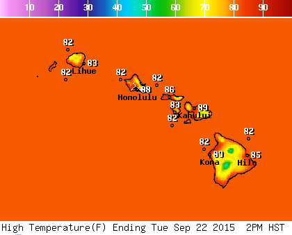
Image: NOAA / NWS

Image: NOAA / NWS

Image: NOAA / NWS
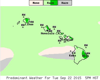
Image: NOAA / NWS
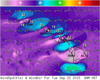
Image: NOAA / NWS
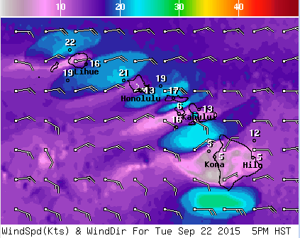
Image: NOAA / NWS
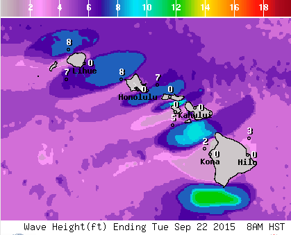
Image: NOAA / NWS
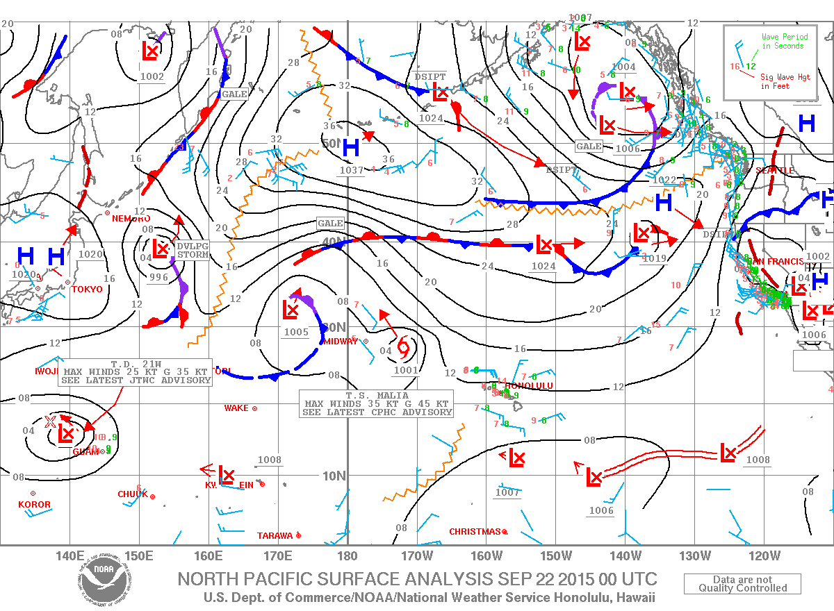
Image: NOAA / NWS
Sponsored Content


