

“Unzipping” of the Northeast Rift Zone; Mauna Loa eruption creates lava fountains
 Mauna Loa — Fissure 3 eruption, Northeast Rift Zone. Live Image of fissure 3 erupting on the Northeast Rift Zone of Mauna Loa volcano. PC: 4:12 p.m. 11.29.22. USGS/HVO
- Mauna Loa — Northeast Rift Zone Uprift View (WSW). Live Image of the Northeast Rift Zone of Mauna Loa volcano, view is to the west southwest. PC: 4:22 p.m. 11.29.22. USGS/HVO
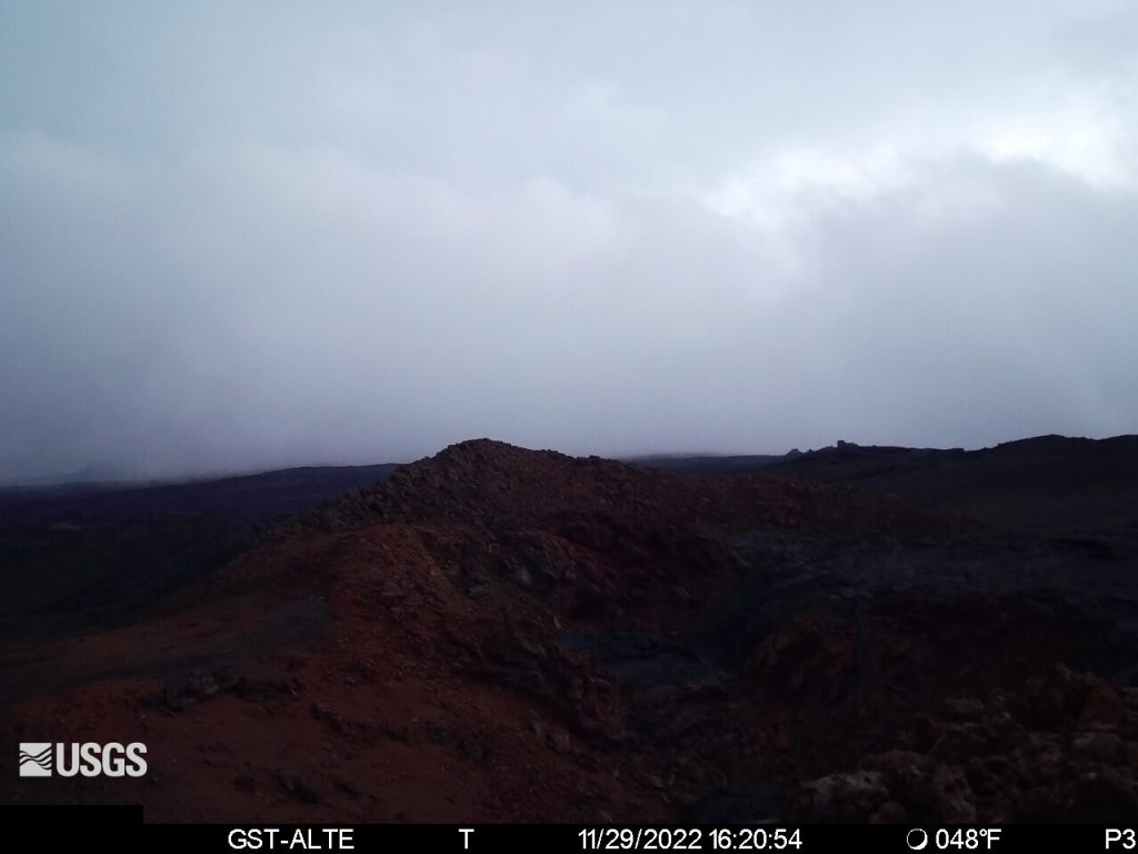
- Mauna Loa — Northeast Rift Zone Downrift View (ENE). Live Image from the Northeast Rift Zone, looking downrift in an east northeast direction. PC: 4:20 p.m. 11.29.22. USGS/HVO


Fissure 3 is the longest and largest flow to date
Update: 4:23 p.m., Tuesday, Nov. 29, 2022
Scientists with the Hawaiian Volcano Observatory say the Northeast Rift Zone eruption of Mauna Loa continues, with several fissures and lava flows active.
“Several lava flows are traveling in a northeast direction. The longest and largest lava flow is issuing from Fissure 3. This lava flow crossed the Mauna Loa Weather Observatory Road at approximately 8 p.m. Monday evening, and the flow front was located approximately 4.5 miles from Saddle Road at approximately 3:30 p.m. on Tuesday afternoon,” according to the HVO.
On Tuesday afternoon, fountains at Fissure 3 were consistently 131-164 feet tall and fountains at Fissure 4, which formed at approximately 7:30 p.m. on Monday, Nov. 28, were 16-33 feet tall, the HVO reports.
There is no active lava within Moku’āweoweo caldera, and there is no lava erupting from the Southwest Rift Zone.
“We do not expect any eruptive activity outside the Northeast Rift Zone. No property is at risk currently. There is a visible gas plume from the erupting fissure fountains and lava flows, with the plume primarily being blown to the North,” according to the HVO.
The HVO reports that Sulfur dioxide emission rates of approximately 250,000 tonnes per day were measured on Nov. 28, 2022.

Lava crosses Mauna Loa Weather Observatory Road
Flow front located 6 miles from Saddle Road
Update: 9:12 a.m., Tuesday, Nov. 29, 2022
The Northeast Rift Zone eruption of Mauna Loa continues, with several fissures and lava flows active. Several lava flows are traveling in a northeast direction. The longest and largest lava flow is issuing from Fissure 3, according to a morning update from the Hawaiian Volcano Observatory.
This lava flow crossed the Mauna Loa Weather Observatory Road at approximately 8 p.m. Monday evening, and the flow front was located approximately 6 miles from Saddle Road at 7 a.m. HST this morning.
Fountains at Fissure 3 are up to 82 feet; and fountains at Fissure 4, which formed at approximately 7:30 p.m. Monday night, were 16-33 feet tall, according to the HVO.
There is no active lava within Moku’āweoweo caldera, and there is no lava erupting from the Southwest Rift Zone. All lava flows are on the northeast flank of Mauna Loa.
“We do not expect any eruptive activity outside the Northeast Rift Zone. No property is at risk currently. There is a visible gas plume from the erupting fissure fountains and lava flows, with the plume primarily being blown to the North,” the HVO reports.

“Unzipping” of the Northeast Rift Zone
Update: 2:55 a.m., Tuesday, Nov. 29, 2022
The eruption of Mauna Loa continues on the Northeast Rift Zone. Three fissures erupted and as of 1:30 p.m. on Monday. Only the lowest of the three fissures was active at last report.
Scientists with the Hawaiian Volcano Observatory estimate that the tallest fountain heights are between 100–200 feet, but most are just a few yards tall.
“Mauna Loa’s eruption starts at the summit, and the fissures move on the surface from the summit down. What we call it is ‘unzipping the rift zone.’ The lava is coming straight up to the surface, making it’s own surface cracks down, and it generally is pushing the hot fresh lava right out onto the surface throughout the entire eruption… It starts at a high effusion rate and maintains that for a week or two, and those flows are fairly fast moving.”
–Ken Hon, Hawaiʻi Volcano Observatory, Scientist in Charge
The fissures sent lava flows to the northeast and parallel to the rift zone. Lava flows from the two higher fissures moved downslope but stalled about 11 miles from Saddle Road, according to the HVO.
Fissure 3 is currently feeding lava flows moving east parallel to the Northeast Rift Zone. These remain at above 10,000 feet elevation and over 10 miles away from Saddle Road.
“We do not expect upper fissures to reactivate. However, additional fissures could open along the Northeast Rift Zone below the current location, and lava flows can continue to travel downslope,” the HVO advised.
There is no active lava within Moku’āweoweo caldera, and there is no lava erupting from the Southwest Rift Zone, the HVO reports. “We do not expect any eruptive activity outside the Northeast Rift Zone. No property is at risk currently. There is a visible gas plume from the erupting fissure fountains and lava flows, with the plume primarily being blown to the Northwest,” according to the latest update.
The eruption started at 11:30 p.m. on Sunday, Nov. 27, 2022 at the Moku’āweoweo caldera.
The last time Mauna Loa erupted was 38 years ago on March 25, 1984. The HVO reports that Mauna Loa is among Earth’s most active volcanoes, having erupted 33 times since a historical eruption in 1843. During the last event in 1984, lava came within 4.5 miles of Hilo, the island’s largest population center, according to the HVO.
HVO: Flow is similar to 1984 eruption;
Long-term forecast discussed
Experts from the Hawaiʻi Volcano Observatory, Hawaiʻi Emergency Management Agency, and government leaders discussed the short- and long-term forecast for the Mauna Loa eruption during an afternoon press briefing hosted by Governor David Ige on Monday. Details here.
Resources and links:
- The Hawaiʻi County Civil Defense agency has a web page on volcano hazards with maps of inundation zones and hazard zones. Alerts are posted here.
- Hawai‘i Volcanoes National Park has closed the Mauna Loa summit area to visitors.
- Vog information can be found here.
- What does a warning and warning alert level mean? Find out here.
- HVO: Preparing for the next eruption of Earth’s largest active volcano.
- Lava Flows from Mauna Loa (1843-2018)
- Mauna Loa Eruption Response Times over the past 200 years
- Current alerts.
- Mauna Loa webcams.
- Frequently Asked Questions about Mauna Loa Volcano
- Hawai‘i Volcanoes National Park has closed the Mauna Loa Road from Kīpukapuaulu and the closure extends to the summit caldera.
Sponsored Content


