

Kiko downgraded to remnant low, continues on westward path away of Hawaiʻi
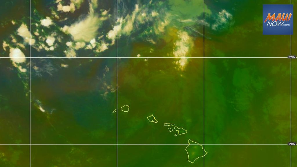
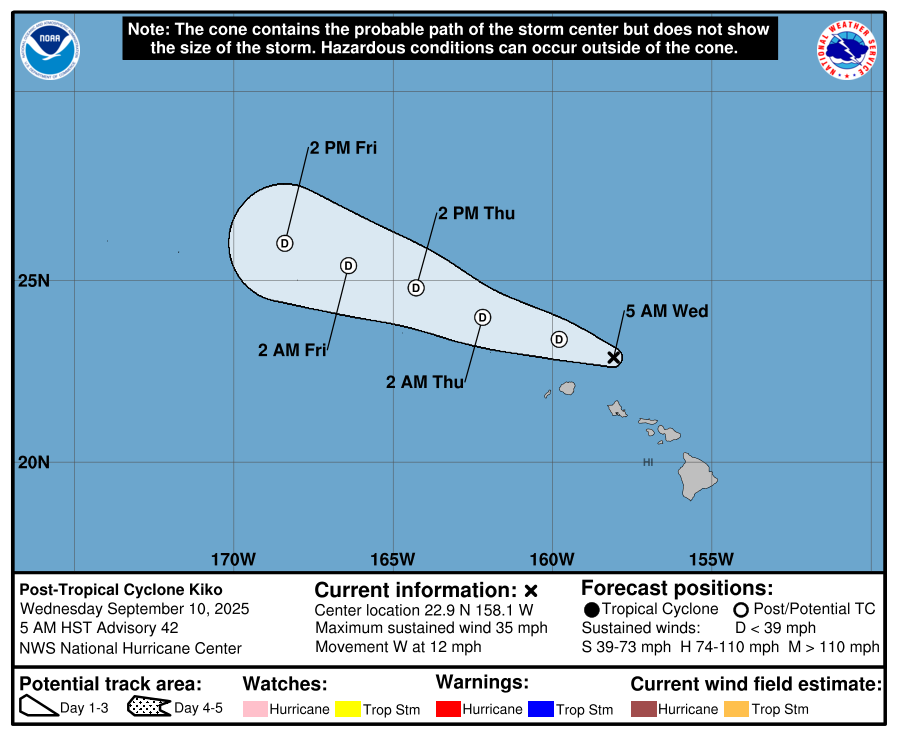
Kiko was downgraded from a tropical storm to a remnant low this morning, as it continues on a path north of the Hawaiian Islands. The system was last located 110 miles N of Honolulu and was traveling W at 12 mph with 35 mph maximum sustained winds.
The Central Pacific Hurricane Center reports Kiko will soon make a turn toward the WNW, with this general motion expected to continue for the next couple of days. Little change in strength is forecast during the next 48 hours.
On the water, swells generated by Kiko are diminishing today, as are the threats of high surf and rip currents.
The 5 a.m. forecast is the last public advisory being issued by the Central Pacific Hurricane Center on this system.
As weakening Kiko skims the northern windward coastal waters of Oʻahu and Kauaʻi early this morning, higher moisture and light southeasterlies associated with this system could potentially lead to areas of “topographically-enhanced precipitation,” according to the National Weather Service.
“Once Kiko exits stage left, moderate trades will return by early Thursday morning,” the NWS reports. Relatively drier weekend conditions are in the forecast.
Sponsored Content


