


Maui Weather Forecast for October 08, 2026
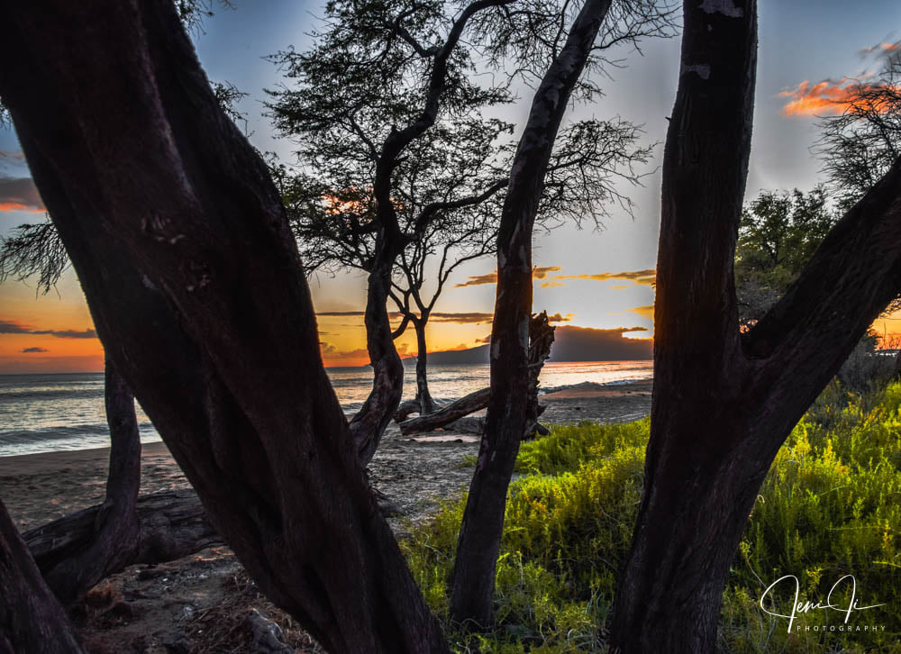
West Side
Rest Of Today: Breezy. Mostly cloudy with numerous showers. Highs 80 to 86. Southeast winds up to 20 mph shifting to the south 10 to 20 mph in the afternoon. Chance of rain 70 percent.
Tonight: Mostly cloudy with scattered showers until early morning, then partly cloudy with isolated showers early in the morning. Lows 72 to 78. South winds 10 to 15 mph decreasing to up to 10 mph after midnight. Chance of rain 50 percent.
Friday: Mostly sunny with isolated showers. Highs 81 to 87. Light winds becoming southeast up to 10 mph in the afternoon. Chance of rain 20 percent.
South Side
Rest Of Today: Breezy. Partly cloudy with scattered showers. Highs 86 to 91. Southeast winds up to 15 mph shifting to the south in the afternoon. Chance of rain 50 percent.
Tonight: Partly cloudy. Breezy. Scattered showers early in the evening, then isolated showers in the late evening and overnight. Lows 73 to 81. Southwest winds 10 to 20 mph. Chance of rain 50 percent.
Friday: Mostly sunny in the morning then becoming partly sunny. Isolated showers. Highs around 89. Southwest winds around 10 mph shifting to the north in the afternoon. Chance of rain 20 percent.
North Shore
Rest Of Today: Partly cloudy. Highs around 85 near the shore to around 70 near 5000 feet. Southeast winds up to 15 mph.
Tonight: Partly cloudy. Lows around 75 near the shore to around 60 near 5000 feet. Southeast winds up to 10 mph.
Friday: Mostly sunny early in the morning, then partly sunny with isolated showers in the late morning and afternoon. Highs around 83 near the shore to around 71 near 5000 feet. East winds up to 15 mph. Chance of rain 20 percent.
Central Maui
Rest Of Today: Partly cloudy. Scattered showers early in the morning, then isolated showers late in the afternoon. Highs 85 to 91. Light winds becoming south up to 15 mph. Chance of rain 40 percent.
Tonight: Partly cloudy. Isolated showers until early morning. Lows 72 to 77. South winds 10 to 15 mph in the evening becoming light. Chance of rain 20 percent.
Friday: Mostly sunny in the morning then becoming partly sunny. Highs 83 to 90. East winds up to 15 mph shifting to the northeast in the afternoon.
Upcountry
Rest Of Today: Mostly sunny with isolated showers early in the morning, then partly sunny with scattered showers late in the afternoon. Highs around 67 at the visitor center to around 69 at the summit. Southeast winds around 10 mph shifting to the south in the afternoon. Chance of rain 50 percent.
Tonight: Mostly cloudy. Scattered showers early in the evening, then isolated showers in the late evening and early morning. Lows around 56 at the visitor center to around 48 at the summit. South winds 10 to 15 mph decreasing to up to 10 mph after midnight. Chance of rain 50 percent.
Friday: Partly sunny with isolated showers. Highs around 72 at the visitor center to around 70 at the summit. Light winds becoming east up to 10 mph in the afternoon. Chance of rain 20 percent.
East Maui
Rest Of Today: Partly cloudy. Highs around 85 near the shore to around 70 near 5000 feet. Southeast winds up to 15 mph.
Tonight: Partly cloudy. Lows around 75 near the shore to around 60 near 5000 feet. Southeast winds up to 10 mph.
Friday: Mostly sunny early in the morning, then partly sunny with isolated showers in the late morning and afternoon. Highs around 83 near the shore to around 71 near 5000 feet. East winds up to 15 mph. Chance of rain 20 percent.
Lanai City
Rest Of Today: Breezy. Mostly cloudy with occasional showers. Highs 73 to 81. South winds 15 to 25 mph. Chance of rain 90 percent.
Tonight: Mostly cloudy. Breezy. Occasional showers early in the evening, then numerous showers late in the evening. Scattered showers after midnight. Lows around 71. South winds 10 to 25 mph shifting to the east after midnight. Chance of rain 90 percent.
Friday: Breezy. Mostly sunny with scattered showers. Highs 78 to 84. Southeast winds 10 to 20 mph. Gusts up to 40 mph. Chance of rain 40 percent.
Kaunakakai
Rest Of Today: Breezy. Occasional showers early in the morning, then scattered showers late in the afternoon. Highs 71 to 90. Southeast winds 10 to 20 mph. Chance of rain near 100 percent.
Tonight: Mostly cloudy. Breezy. Scattered showers until early morning, then isolated showers early in the morning. Lows 64 to 78. South winds 10 to 20 mph. Chance of rain 50 percent.
Friday: Mostly sunny in the morning then becoming partly sunny. Scattered showers. Highs 78 to 91. Southeast winds up to 10 mph in the morning becoming light. Chance of rain 40 percent.
Detailed Forecast
Update
Heavy rain has finally organized into a band of intense training showers and thunderstorms well east of Kauai and is on the doorstep of Oahu early this morning. Lingering showers over and in the vicinity of Kauai have dramatically reduced in coverage as mid-level dry air aggressively pushes north over the island resulting in a rapid return to a higher stability environment. The Flood Watch has therefore been cancelled for Kauai County but remains in effect for Oahu.
Synopsis
A flash flooding threat persists for Oahu through this afternoon with comparatively few showers expected elsewhere. Light to moderate trades return this weekend.
Aviation
Light southerly winds will increase in speed through the day today as a surface trough edges over the western end of the state. Heavy showers and isolated thunderstorms will continue to form in the vicinity of this surface trough as an area of enhanced moisture moves up from the south and instability increases aloft. The main band of heavy showers with a few isolated thunderstorms is currently over the Kauai Channel and is expected to gradually edge further eastward and impact Oahu later this morning. MVFR conditions are likely and IFR conditions possible within heavier showers and thunderstorms. VFR conditions will prevail elsewhere.
AIRMET Sierra is in effect for tempo mountain obscuration across all of Kauai and Oahu and south through west facing portions of Molokai and Lanai. This AIRMET, and possibly one for IFR conditions, will be needed for portions of the island chain through the day.
AIRMET Tango is in effect for low level turbulence downwind of terrain (west through north of island mountains in southerly flow) and is expected to be needed through the day.
Marine
Gentle to moderate south to southeast winds will continue through Friday as a low pressure system deepens north to northwest of Hawaii. Southerly to southeasterly surface winds will continue to draw up tropical moisture over the islands under the cold upper low, producing periods enhanced showers, heavy at times, with the potential for a few thunderstorms near Niihau, Kauai and Oahu during this time. A passing low level trough will then drift from east to west through the islands from Sunday into the first half of next week, potentially extending these unstable wet weather trends.
South swell will maintain into next week with pulses of long period reinforcement arriving Thursday and Saturday. Surf will remain a few feet below advisory levels along south facing shores.
Small to moderate surf along north and west facing shores will continue through the rest of the week as swell energy is reinforced by the slowly moving surface low north to northwest of the Hawaiian Islands. A larger swell will arrive around Tuesday, boosting north and west shore surf to just below advisory thresholds. Surf along east facing shores will remain small as local winds remain fairly weak.
Prev discussion
/ISSUED 415 AM HST Thu Oct 8 2026/
Widely scattered moderate to locally heavy showers are ongoing from Kauai to Oahu with tendency for increased organization in the Kauai Channel beneath mature right entrance dynamics. Heavy rain rates of 1 to locally 2 inches per hour have been quite isolated thus far, but are beginning to align within the flow-parallel band that has formed in the channel. Cloud top cooling associated with this band is associated with a modest increase in thunderstorm activity and suggests the intensification process will continue in the near term, though it is clear at this point that organization will continue to struggle due to the lack of a surface-based forcing mechanism. Regardless, eastward progress of this band will critical for this morning's Oahu forecast and subsequent flash flooding potential. Though not particularly accurate in their depiction of the position of the primary band of heavy rain, the guidance is generally in agreement that once formed eastward progress will be minimal. While convection may inherently develop a tendency to propagate eastward with time, the greatest organization is expected to remain in the Kauai Channel. With that said, a secondary surge of deep moisture is still poised to lift across Oahu during the morning hours and the modest ascent field away from the primary band may still be sufficient to maintain elevated rain rates for at least the next several hours.
To the southwest, Channel 10/low-level water vapor imagery depicts a plume of dry air lifting toward Kauai within a corridor of backing mid-level southerlies. The arrival of this dry air intrusion will bring a quick return to stability and will signal the end of any flooding threat for Kauai upon its arrival later this morning. However, the loss of a westerly component to the mid-level flow will delay the arrival of this dry air for Oahu where periods of showers, some heavy, will continue through much of the day. The lead edge of this dry air is also enhancing mid-level convergence and helping to organize convection upstream of Oahu. The Flood Watch remains in place, though it is increasingly tenuous for Kauai which may be dropped later this morning.
Tropical moisture characterized by PWATs around 2″ will remain in place into the first half of the weekend, but the wave of deep saturation that spread over the islands last night into this morning will be long gone to the north by then. This leaves the islands in an area of very broad, weak ascent east of lingering right entrance dynamics likely without sufficient forcing to generate meaningful shower activity. While isolated nuisance flooding can't be ruled out late this evening into Friday, mainly from Oahu through Maui County, it is unlikely to warrant an extension in time or space to the Flood Watch, especially considering this event's underwhelming performance thus far.
By Friday, the gradient may be sufficiently light to support sea breeze development and pockets of heavy downpours on any/all islands during the afternoon and then Maui and the Big Island again over the weekend. Returning moderate trades during this time will eventually limit afternoon convergence over Molokai, Oahu, and Kauai favoring a return to a modest coverage of clouds and showers over windward and mauka zones as early as Saturday. Dewpoints return to more typical values in the 60s Saturday night into Sunday.
AVIATION… Light southerly winds will increase in speed through the day today as a surface trough edges over the western end of the state. Heavy showers and isolated thunderstorms will continue to form in the vicinity of this surface trough as an area of enhanced moisture moves up from the south and instability increases aloft. The main band of heavy showers with a few isolated thunderstorms is currently over the Kauai Channel and is expected to gradually edge further eastward and impact Oahu later this morning. MVFR conditions are likely and IFR conditions possible within heavier showers and thunderstorms. VFR conditions will prevail elsewhere.
AIRMET Sierra is in effect for tempo mountain obscuration across all of Kauai and Oahu and south through west facing portions of Molokai and Lanai. This AIRMET, and possibly one for IFR conditions, will be needed for portions of the island chain through the day.
AIRMET Tango is in effect for low level turbulence downwind of terrain (west through north of island mountains in southerly flow) and is expected to be needed through the day.
MARINE… Gentle to moderate south to southeast winds will continue through Friday as a low pressure system deepens north to northwest of Hawaii. Southerly to southeasterly surface winds will continue to draw up tropical moisture over the islands under the cold upper low, producing periods enhanced showers, heavy at times, with the potential for a few thunderstorms near Niihau, Kauai and Oahu during this time. A passing low level trough will then drift from east to west through the islands from Sunday into the first half of next week, potentially extending these unstable wet weather trends.
South swell will maintain into next week with pulses of long period reinforcement arriving Thursday and Saturday. Surf will remain a few feet below advisory levels along south facing shores.
Small to moderate surf along north and west facing shores will continue through the rest of the week as swell energy is reinforced by the slowly moving surface low north to northwest of the Hawaiian Islands. A larger swell will arrive around Tuesday, boosting north and west shore surf to just below advisory thresholds. Surf along east facing shores will remain small as local winds remain fairly weak.
HFO Watches/Warnings/Advisories
Flood Watch through this afternoon for Oahu,
Check out their Maui Helicopter Tours today!
Data Courtesy of NOAA.gov
Sponsored Content

















