Maui Weather Forecast for October 12, 2026
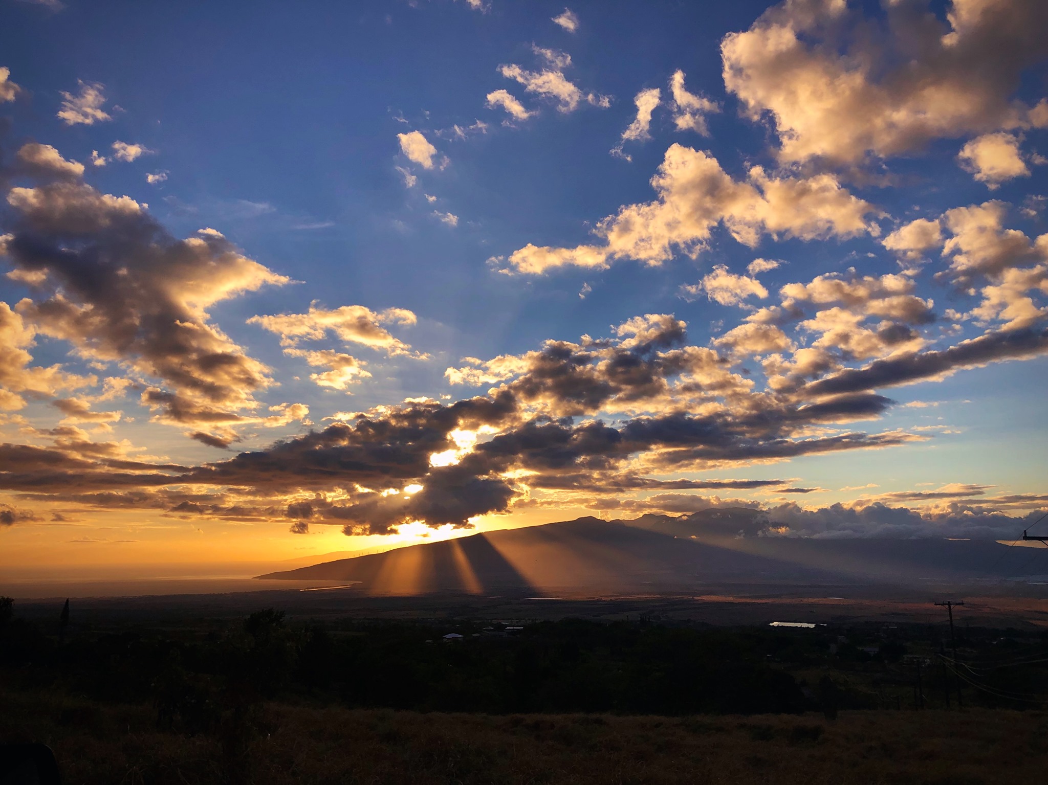
West Side
Today: Sunny. Highs 80 to 86. Light winds becoming southwest up to 10 mph in the afternoon.
Tonight: Mostly clear. Lows 69 to 76. Southeast winds up to 10 mph.
Tuesday: Sunny. Isolated showers in the afternoon. Highs 79 to 86. Southeast winds up to 10 mph shifting to the southwest in the afternoon. Chance of rain 20 percent.
South Side
Today: Sunny and breezy. Highs around 88. North winds up to 15 mph increasing to 10 to 20 mph in the afternoon.
Tonight: Mostly clear. Lows 69 to 76. North winds up to 15 mph.
Tuesday: Sunny and breezy. Highs around 89. North winds up to 20 mph.
North Shore
Today: Sunny and breezy. Isolated showers in the afternoon. Highs around 82 near the shore to around 68 near 5000 feet. East winds up to 20 mph. Chance of rain 20 percent.
Tonight: Breezy. Partly cloudy with isolated showers. Lows around 72 near the shore to around 56 near 5000 feet. East winds up to 20 mph. Chance of rain 20 percent.
Tuesday: Breezy. Partly sunny with scattered showers. Highs around 82 near the shore to around 67 near 5000 feet. East winds up to 20 mph. Chance of rain 50 percent.
Central Maui
Today: Sunny and breezy. Highs 82 to 88. Northeast winds up to 20 mph.
Tonight: Mostly clear. Lows 68 to 73. East winds up to 15 mph.
Tuesday: Breezy. Mostly sunny with isolated showers. Highs 82 to 89. Northeast winds up to 20 mph. Chance of rain 20 percent.
Upcountry
Today: Sunny and breezy. Isolated showers in the afternoon. Highs around 66 at the visitor center to around 68 at the summit. East winds 10 to 20 mph decreasing to up to 15 mph in the afternoon. Chance of rain 20 percent.
Tonight: Mostly clear with isolated showers. Lows around 52 at the visitor center to around 45 at the summit. East winds up to 15 mph. Chance of rain 20 percent.
Tuesday: Mostly sunny with isolated showers. Highs 61 to 80. East winds up to 15 mph in the morning becoming light. Chance of rain 20 percent.
East Maui
Today: Sunny and breezy. Isolated showers in the afternoon. Highs around 82 near the shore to around 68 near 5000 feet. East winds up to 20 mph. Chance of rain 20 percent.
Tonight: Breezy. Partly cloudy with isolated showers. Lows around 72 near the shore to around 56 near 5000 feet. East winds up to 20 mph. Chance of rain 20 percent.
Tuesday: Breezy. Partly sunny with scattered showers. Highs around 82 near the shore to around 67 near 5000 feet. East winds up to 20 mph. Chance of rain 50 percent.
Lanai City
Today: Sunny. Highs 72 to 81. Northeast winds up to 15 mph.
Tonight: Mostly clear. Lows around 70. Northeast winds up to 15 mph.
Tuesday: Sunny. Highs 73 to 82. Northeast winds up to 15 mph.
Kaunakakai
Today: Sunny. Highs 70 to 89. East winds up to 15 mph.
Tonight: Mostly clear. Lows 60 to 76. East winds up to 15 mph.
Tuesday: Sunny. Isolated showers in the afternoon. Highs 70 to 89. East winds up to 15 mph. Chance of rain 20 percent.
Detailed Forecast
Synopsis
Light to moderate background trade winds will prevail, allowing sea breezes to develop in sheltered leeward areas today. A brief increase in windward showers is expected Monday night into Tuesday, especially for the easternmost islands. Moderate trade winds will begin building back into the region during the second half of the week, becoming locally breezy again by the weekend.
Discussion
Currently as of 3AM HST, radar and satellite shows a mostly to partly cloudy sky with a few isolated light showers going on across the state. A weak low in the mid and upper levels is located just east of the Big Island. Over the next few days, this feature will linger and then move off to the northeast, with little effect on island weather. However, an area of enhanced moisture associated with a trough east of the islands will make its way westward, reaching the eastern end of the state later today. As this feature quickly moves through, windward showers are anticipated to increase, especially for the Big Island and Maui. The remaining islands may see a slight increase in windward and mauka showers as well.
By Wednesday, moderate trades will build back into the region, strengthening to become locally breezy by the end of the week. Showers will generally favor windward and mauka areas throughout the rest of the week, especially during the overnight and morning hours. An additional band of moisture approaching from the east could bring another uptick in showers late this week into next weekend.
Aviation
Light to moderate trade flow will to continue today. Isolated afternoon clouds and showers should once again develop over terrain sheltered/leeward areas due to the light winds. However, shower activity across windward and mountain areas will be limited. A surface trough is forecast to approach from the east tonight and provide an increase in shower coverage along windward areas of Big Island. Brief periods of MVFR ceilings and visibility may occur with this activity. VFR conditions elsewhere.
No AIRMETs are currently in effect.
Marine
Moderate to locally fresh trade winds continue through Tuesday before decreasing by mid-week into the light to moderate range. Slight day to day fluctuations are expected, then trades are expected to strengthen towards the end of the week as high pressure builds north of the area.
A long-period south swell will hold through Monday, producing elevated surf along south and west-facing shores, but it will remain below advisory levels. South shore surf will decline gradually Tuesday into Wednesday, but a new long-period south swell arriving late Wednesday will provide another bump in surf for Thursday and Friday.
A small small, long-period northwest swell will arrive this afternoon and peak Tuesday into Wednesday. This swell is expected to boost north shore surf to moderate levels. A moderate mid period north- northwest swell is possible by the end of the week into the weekend, depending on the evolution of a projected low in the north Pacific. However, confidence is low given differences in model solutions with this feature.
Surf along east-facing shores will remain small as local winds remain fairly weak with only slight variations each day. Small, moderate-period west and east swells generated by multiple Pacific tropical cyclones continue to move through the islands through Monday.
Fire weather
Light to moderate trade winds will continue for the first half of the week. Dry air will bring RH levels down to near- critical values for parts of the state through this afternoon but winds will be light. Inversion heights range from 4000-11000 feet.
HFO Watches/Warnings/Advisories
None.
Check out their Maui Helicopter Tours today!
Data Courtesy of NOAA.gov
Sponsored Content