

Maui Weather Forecast for November 16, 2026
West Side
Today: Mostly sunny. Breezy. Scattered showers in the morning. Highs 77 to 86. East winds up to 20 mph. Chance of rain 40 percent.
Tonight: Partly cloudy. Breezy. Isolated showers after midnight. Lows 68 to 75. Northeast winds 10 to 20 mph. Chance of rain 20 percent.
Tuesday: Mostly sunny. Breezy. Highs 76 to 85. Northeast winds 10 to 20 mph.
South Side
Today: Sunny. Highs 82 to 88. East winds up to 10 mph.
Tonight: Partly cloudy. Breezy. Lows 69 to 79. Northeast winds up to 10 mph increasing to 10 to 20 mph after midnight.
Tuesday: Mostly sunny. Breezy. Highs 80 to 86. Northeast winds 10 to 20 mph.
North Shore
Today: Partly sunny. Breezy. Showers in the morning, then scattered showers in the afternoon. Highs 78 to 83 near the shore to around 65 near 5000 feet. East winds 10 to 20 mph. Chance of rain 80 percent.
Tonight: Mostly cloudy. Breezy. Numerous showers in the evening, then showers after midnight. Lows 67 to 74 near the shore to around 54 near 5000 feet. East winds 10 to 20 mph. Chance of rain 90 percent.
Tuesday: Breezy. Partly sunny with numerous showers. Highs 76 to 82 near the shore to around 64 near 5000 feet. East winds 10 to 20 mph. Chance of rain 70 percent.
Central Maui
Today: Mostly sunny. Isolated showers in the morning. Highs 81 to 86. East winds 10 to 15 mph. Chance of rain 20 percent.
Tonight: Partly cloudy. Isolated showers after midnight. Lows 69 to 74. East winds 10 to 15 mph. Chance of rain 20 percent.
Tuesday: Mostly sunny. Highs 79 to 85. East winds 10 to 15 mph.
Upcountry
Today: Breezy. Mostly sunny with scattered showers. Highs around 64 at the visitor center to around 71 at the summit. East winds 10 to 25 mph. Chance of rain 50 percent.
Tonight: Partly cloudy in the evening then becoming mostly cloudy. Breezy. Scattered showers. Lows around 52 at the visitor center to around 47 at the summit. East winds 15 to 25 mph. Chance of rain 50 percent.
Tuesday: Breezy. Partly sunny with scattered showers. Highs around 61 at the visitor center to around 68 at the summit. East winds 15 to 20 mph. Chance of rain 50 percent.
East Maui
Today: Partly sunny. Breezy. Showers in the morning, then scattered showers in the afternoon. Highs 78 to 83 near the shore to around 65 near 5000 feet. East winds 10 to 20 mph. Chance of rain 80 percent.
Tonight: Mostly cloudy. Breezy. Numerous showers in the evening, then showers after midnight. Lows 67 to 74 near the shore to around 54 near 5000 feet. East winds 10 to 20 mph. Chance of rain 90 percent.
Tuesday: Breezy. Partly sunny with numerous showers. Highs 76 to 82 near the shore to around 64 near 5000 feet. East winds 10 to 20 mph. Chance of rain 70 percent.
Lanai City
Today: Mostly sunny. Isolated showers in the afternoon. Highs 72 to 80. Light winds becoming northeast up to 10 mph in the afternoon. Chance of rain 20 percent.
Tonight: Mostly clear. Lows 64 to 71. Northeast winds up to 10 mph.
Tuesday: Mostly sunny. Highs 71 to 80. Northeast winds 10 to 15 mph.
Kaunakakai
Today: Mostly sunny. Breezy. Isolated showers in the morning. Highs 68 to 86. East winds 10 to 25 mph. Chance of rain 20 percent.
Tonight: Partly cloudy. Breezy. Isolated showers after midnight. Lows 60 to 76. East winds 15 to 25 mph. Chance of rain 20 percent.
Tuesday: Mostly sunny. Breezy. Highs 67 to 85. East winds 15 to 25 mph.
Detailed Forecast
Synopsis
A strong high pressure system north of the Hawaiian Islands will weaken as it slowly drifts eastward today, decreasing wind speeds across the region. Passing showers will increase later this afternoon through Tuesday morning, favoring windward and mountain areas. Periods of enhanced showers will favor the overnight to early morning hours through the week. Rainfall amounts will remain in the light to moderate beneficial range.
Discussion
A low level trough associated with the remnants of a dissipated cold front will move through the state later this afternoon. Morning satellite imagery shows this trough as a long band of unsettled clouds just 100 miles to the northeast drifting towards the state. These unstable clouds will ride up over island mountains on the trade winds, increasing statewide shower activity through at least Tuesday morning.
A wet trade wind weather pattern continues through much of this week and into the weekend as an unstable weather pattern unfolds across the region. After the low level trough moves through today into Tuesday morning, models continue to show a weak upper low drifting from west to east across the islands on Wednesday and Thursday lifting cloud heights and increasing showers trends. By Friday, we see another low level cloud band riding into the islands on the trade winds keeping wet trade wind weather in the forecast into the upcoming weekend.
Expect light to moderate rainfall amounts with the highest accumulations forecast along all windward mountain areas due to more favorable orographic forcing. Lower rainfall totals are expected to fall over the drier leeward areas, south through west sections of each island. Model guidance on these rainfall events remains highly consistent and gives us a higher degree of confidence in this wet trade wind weather pattern lasting into next weekend.
Aviation
Breezy to locally windy trades will persist this morning with brief periods of showers pushing over windward and mountain areas, then spilling onto leeward areas at times. Showers will decrease in coverage by this afternoon, before filling in again tonight. Brief periods of MVFR ceilings and visibility are possible during any shower activity.
AIRMET Tango remains in effect below 7000 feet for low level moderate turbulence over and downwind of island mountains.
Marine
Fresh to strong trade winds will gradually ease through Tuesday as robust high pressure far northeast of Hawaii slowly weakens. A Small Craft Advisory (SCA) remains in effect for all Hawaiian waters due to a combination of the elevated trade winds and large combined seas. Some leeward zones will drop out of the SCA late tonight or early Tuesday as winds and seas gradually lower, with the SCA likely scaling back to the typically windy waters around Big Island and Maui late Tuesday or Wednesday. Moderate to locally fresh trade winds will prevail Wednesday and Thursday, then strengthen again Thursday night and Friday as a stronger high passes north of the state.
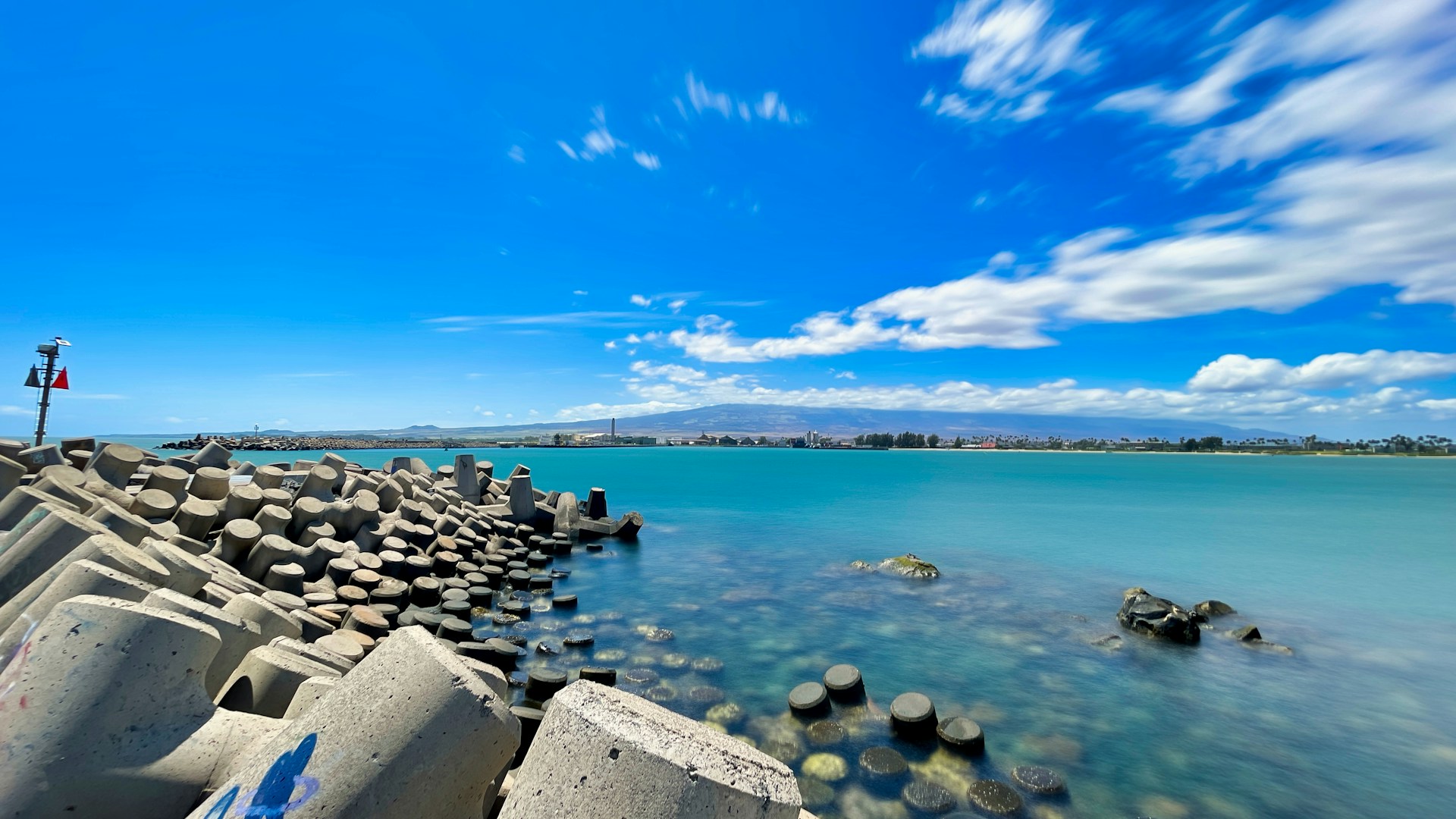
A moderate, medium period north swell will peak through this morning. The storm that generated the swell was fast-moving and quickly passed across Hawaii's swell window. This is leading to difficulty in determining peak surf locally, which should be larger over the eastern end of the island chain. The swell has been registering about 3 feet larger overnight at NOAA buoy 51000 as compared to 51001, and we will monitor to determine if a short-lived High Surf Advisory will be needed for north shores. A Marine Weather Statement continues to highlight harbor surges at Kahului and Hilo due to the direction (350 to 360 degrees) of the swell. The north swell will gradually decline later today through Wednesday, with harbor surge conditions gradually improving on Tuesday. A small north-northwest swell will be possible during the weekend.
Rough surf along east-facing shores will remain above seasonal average today due to elevated trade wind swell and some wrapping north swell. East shore surf is expected to be around seasonal average Tuesday through Thursday, followed by a slight increase Friday through the weekend. Mainly small background level surf will persist along south-facing shores during the next several days, with a small long-period swell possible on Friday.
Fire weather
Lower wind speeds and higher humidity levels along with increasing shower coverage will limit any critical fire weather threats through Thursday. Wind speeds trend higher on Friday mainly over higher elevation areas where humidity levels are higher. Temperature inversion heights near Maui and the Big Island will range from 6,500 to 7,500 feet elevation today.
HFO Watches/Warnings/Advisories
Small Craft Advisory until 6 AM HST Tuesday for all Hawaiian waters,
Check out their Maui Helicopter Tours today!
Data Courtesy of NOAA.gov
Sponsored Content