

State Offers Quick Tips to Prepare as Guillermo Approaches
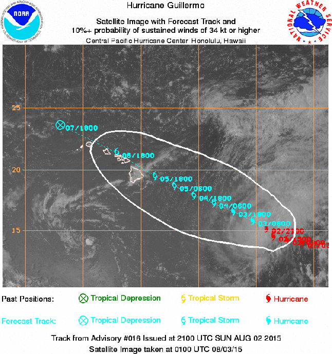
Guillermo Satellite imagery, Aug. 2, 2015, 3:30 p.m. Image courtesy NOAA/NWS/CPHC.
By Maui Now Staff
The Hawaiʻi Emergency Management Agency has issued preparedness information as Guillermo continues on a path towards the state.
The agency says Guillermo continues to weaken, with the current forecast showing the potential for Tropical Storm force winds arriving as early as 7 a.m., Wednesday on Hawaiʻi Island.
The National Weather Service issued a hydrolic outlook saying heavy rain and flash flooding are possible on Wednesday and Thursday. According to NOAA, the latest forecast for Guillermo takes the system over the island chain as a tropical storm. While Guillermo is expected to be moving steadily west northwest as it passes across the island chain, forecasters say, “abundant moisture drawn into the circulation will bring the potential for very heavy rainfall and flash flooding on Wednesday and Thursday.”
Details on the timing, location and amount of rainfall remain uncertain and are highly dependent on the eventual track of Guillermo, according to the NWS hydrolic outlook.
The following preparedness advice was issued to assist residents and visitors in advance of the storm:
- Continue your emergency preparedness activities. Download the Hawaiʻi Emergency Management Agency preparedness brochure for detailed recommendations and other resources.
- Follow the Department of Education online for the latest information on possible school closures. Make sure you know the closure notification procedure if your children attend a private or charter school.
- High winds may affect your travel plans. Check with your airline prior to any planned flights.
- Check with local officials and the Department of Land and Natural Resources if you plan to hike or camp. Parks and other trails may be closed depending on the weather forecast. Visit the DLNR website for the latest closure information.
- Read the Hawaiʻi Boater’s Hurricane and Tsunami Safety Manual for recommended precautions to protect your boat prior to a storm.
- Continue to tune in to local broadcasts for information and instructions on Guillermo. Updates are being posted in the upper portion of our website by Maui Now Meteorologist Malika Dudley. Pacific Media Group’s six Maui radio stations will also be providing updates as warranted at the following frequencies: KPOA 92.5 FM; NATIVE 92.5 FM; KISS FM Maui 99.9 FM; Da Jam 98.3 FM, ESPN 900 AM; and KNUI 550 AM.
Sponsored Content


