

NE Swell Filling in, South Expected Soon

Image: Chris Archer
Alerts (as of 1:00 a.m.)
Small Craft Advisory: For northeast winds up to 25 knots with seas from 6 to 9 feet through 6 p.m. Monday.
**Click directly on the images below to make them larger. Charts include: Maui County projected winds, tides, swell direction & period and expected wave heights.**
Maui Surf Forecast
North: Northwest swell is chest/head high with the best breaks running a bit bigger.
West: Most breaks below waist high, some spots will pick up wrap out of the northeast.
South: Surf heights expected below waist high today.
Our current long-period west-northwest swell is expected to fade into next week. A northeast swell is in the mix for Monday, nearing advisory levels late Monday / Tuesday before fading out slowly. A slightly larger northeast is forecast to fill in Thursday and peak Friday before easing into the weekend. This swell could be at advisory levels as well.
A long-period south swell is expected to fill in Wednesday and hold into Thursday.
Keep in mind, surf heights are measured on the face of the wave from trough to crest. Heights vary from beach to beach, and at the same beach, from break to break.
**Click here for your detailed Maui County weather report.**
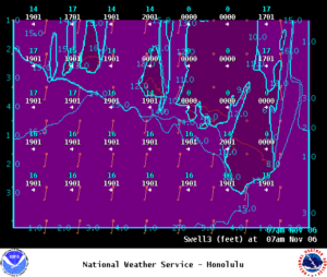
Image: NOAA
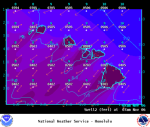
Image: NOAA
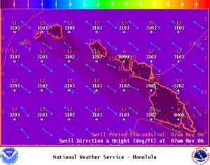
Image: NOAA
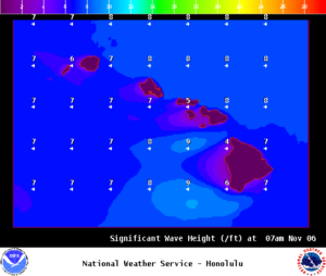
Image: NOAA
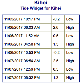
Image: NOAA
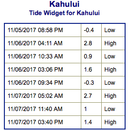
Image: NOAA
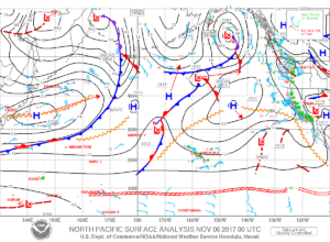
Image: NOAA
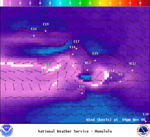
Image: NOAA
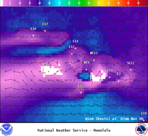
Image: NOAA
Sponsored Content


