

Weekend Weather: Winds Weaken, Front on the Way
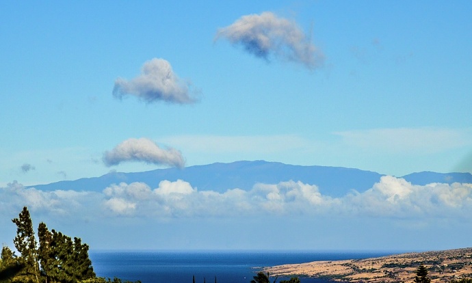
View of Maui from the Big Island this week / Image: James Grenz
By Meteorologist Malika Dudley / Email: malika@mauinow.com
Alerts
A High Surf Warning is in effect for the north facing shores of Maui and Moloka’i through 6:00 a.m. Tuesday for a large west-northwest swell. Warning level surf is expected for Maui County by midday Sunday with wave heights building up to 25 to 30 foot faces. The west side of Moloka’i is forecasted to get 15 to 20 foot faces Sunday night and Monday.
A Small Craft Advisory is in effect for all Maui County waters from 4:00 a.m. Sunday through 6:00 a.m. Tuesday as well.
**Click directly on the images below to make them larger. Charts include: Maui County high/low forecasted temperatures, projected winds, chance of cloud cover, projected localized weather conditions and expected wave heights.**
Today, Saturday, December 20, 2014
Today we expect partly cloudy skies with scattered showers in windward and mauka areas. Winds have weakened a bit and are now out of the east from 10 to 15 mph. Therefore, this afternoon we expect daytime heating to prompt a sea breeze and lead to afternoon cloud build up, possibly scattered showers as well. High temperatures should fall in the range of 79° to 85° and around 71° at 5000 feet.
Sunrise: 6:58 a.m.
Sunset: 5:49 p.m.
UV index at 6 (“high” exposure level)
Tonight
Partly cloudy skies are expected tonight in Maui County with just isolated showers overnight in windward and mauka spots. Mostly clear conditions are expected for lee areas. Winds are variable to 10 mph. Low temperatures from 67° to 72° degrees are expected with a low of about 51° at 5000 feet.
Moonset: 5:02 p.m.
Moonrise: 6:33 a.m. on Dec 21
Next New Moon: Dec. 21 at 3:36 p.m.
Next Full Moon: Jan. 4 at 6:54 p.m.
Almanac for Kahului Airport
Maximum Temperature for today:
Normal 81°
Record 87° / Set in 1952 and tied in 1979 and 1997
Minimum Temperature for today:
Normal 65°
Record 54° / Set in 1950
Sunday December 14, 2014
Partly cloudy skies expected today with scattered afternoon showers in the afternoon for leeward areas in Maui County. Winds are variable to 15 mph. High temperatures should fall in the range of 79° to 85° and around 71° at 5000 feet. Lows are expected from 67° to 72°.
Sunrise: 6:58 a.m.
Sunset: 5:50 p.m.
UV index at 6 (“high” exposure level)
Looking Ahead
Trade winds will push showers into our usual windward and mauka areas and some of that moisture may pass leeward from time to time. Over the weekend, winds are expected to shift and become light as our “natural air conditioner” – high pressure – moves away from the islands and a cold front approaches. The cold front is expected to spread rain, cold air and strong northerly winds across the state from Kauai down to the Big Island starting Sunday night. There is a chance of thunderstorms for Moloka’i on Monday. The rainy conditions are expected to linger into Tuesday. Arrival time for Maui County is forecasted for Monday night. Thunderstorms are possible during that time. Will keep an eye on the forecast. Conditions will gradually return to typical trade wind weather after the passage of the front.
**Click here for your detailed Maui County surf report.**

Image: NOAA / NWS

Image: NOAA / NWS

Image: NOAA / NWS

Image: NOAA / NWS

Image: NOAA / NWS

Image: NOAA / NWS

Image: NOAA / NWS

Image: NOAA / NWS

Image: NOAA / NWS

Image: NOAA / NWS

Image: NOAA / NWS

Image: NOAA / NWS

Image: NOAA / NWS

Image: NOAA / NWS

Image: NOAA / NWS
Sponsored Content


