Fernanda Could Bring Showers for the Weekend

Image: Chris Archer
Alerts (as of 1:00 a.m.)
Small Craft Advisory: East to northeast winds up to 25 knots through 6:00 p.m. Tuesday.
**Click directly on the images below to make them larger. Charts include: Maui County high/low forecasted temperatures, projected winds, projected localized weather conditions and expected wave heights.**
Looking Ahead
Breezy trades winds are forecast through the work week with clouds and showers favoriting our usual windward and mauka spots, mainly overnight. Total rainfall totals are expected to be light this week. The National Hurricane Center is tracking Hurricane Fernanda far east southeast of Hawaii and moving towards the west. It is too soon to determine what the direct impacts to the state will be at this time. However, an increase in surf is expected Tuesday and a general increase in moisture is possible next weekend.
Today
We expect east winds around 10 to 20 mph. High temperatures are forecast from 85° to 90°. Partly cloudy skies with scattered windward showers. Mostly sunny for leeward spots.
UV index at 12 (“extreme” exposure level)
Tonight
Mostly cloudy skies with showers likely in windward spots and partly cloudy with isolated showers for leeward areas. Low temperatures from 73° to 78°. Winds are expected to be east around 10 to 20 mph.
Our Maui Now Weather homepage always includes daily: Sunrise | Sunset | Moonrise | Moonset | Moon Phase | Live Weather Cams | 5-day Forecast | Current Temperature & Conditions
***Click here for your marine outlook and surf report.***

Image: NOAA
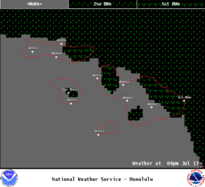
Image: NOAA
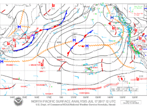
Image: NOAA
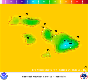
Image: NOAA
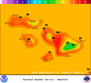
Image: NOAA

Image: NOAA
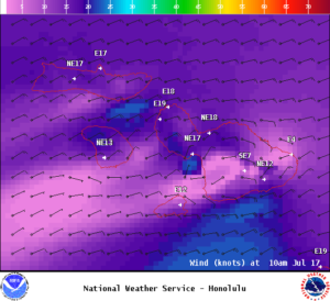
Image: NOAA
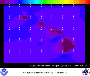
Image: NOAA
Sponsored Content