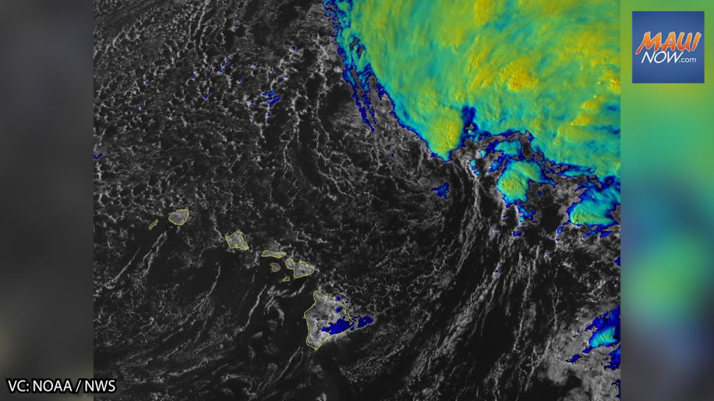
Flood Watch issued Thursday morning to Saturday afternoon as kona low approaches

The National Weather Service has issued a notification advising that a Flood Watch will go into effect for the entire state from Thursday morning through Saturday afternoon.
The NWS reports that flash flooding caused by excessive rainfall is possible as a kona low brings widespread heavy rainfall to the Hawaiian Islands from Thursday into the weekend.
“The threat for heaviest rainfall will begin Thursday for the Big Island and then spread to the remaining islands Thursday night through Saturday. Heavy rainfall rates for an extended amount of time are expected to result in flash flooding, particularly over already saturated areas,” according to the NWS forecast.
The NWS reports that landslides may occur in areas with steep terrain.
The public is advised to monitor later forecasts and be prepared to take action should Flash Flood Warnings be issued. Motorists and pedestrians are also reminded not to cross fast flowing water in their vehicle or on foot.


