Hazy Conditions Today, Front Approaching
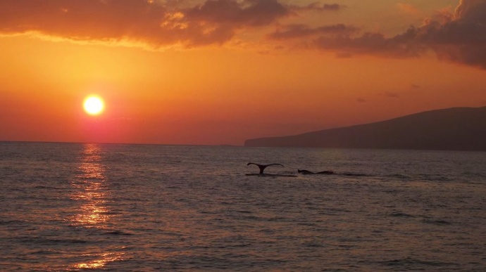
Whale tails / Image: Asa Ellison
By Meteorologist Malika Dudley / Email: malika@mauinow.com
Alerts
Small Craft Advisory is posted for all Maui County channels, Māʻalaea Bay and windward waters through 6 p.m. Friday. Southeast winds up to 30 knots and rough seas up to 13 feet are forecasted. Inexperienced mariners should avoid navigating in these conditions.
**Click directly on the images below to make them larger. Charts include: Maui County high/low forecasted temperatures, projected winds, projected localized weather conditions and expected wave heights.**
Today
Partly cloudy skies are in the forecast with scattered showers. Hazy skies are also forecasted (see UHSOEST vog model above). South to southeast winds from 10 to 20 mph are expected with local afternoon sea breezes developing for some areas. High temperatures from 82° to 87° near shore and lower high temperatures at higher elevations (see graphic above).
UV index at 11 (“very extreme” exposure level)
Tonight
Partly cloudy skies are expected with scattered showers. South/southeast winds are expected from 10 to 20 mph with local land breezes developing in some spots. Low temperatures from 68° to 73°.
Looking Ahead
A front is approaching from the northwest. Locally breezy southeast winds ahead of the front should focus showers over southeast areas of the islands and carry volcanic haze over the smaller islands. A band of showers along the front is expected to reach Kauai Saturday evening reaching Maui around Monday morning. Behind the front we expect breezy trade winds and showery weather for windward areas early next week.
Our Maui Now Weather homepage always includes daily: Sunrise | Sunset | Moonrise | Moonset | Moon Phase | Live Weather Cams | 5-day Forecast | Current Temperature & Conditions
**Click here for your marine outlook and surf report.**
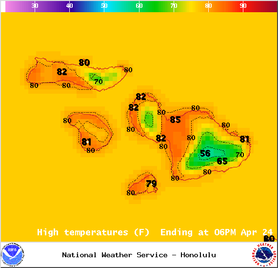
Image: NOAA / NWS

Image: NOAA / NWS
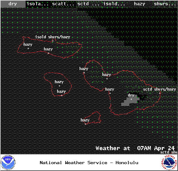
Image: NOAA / NWS
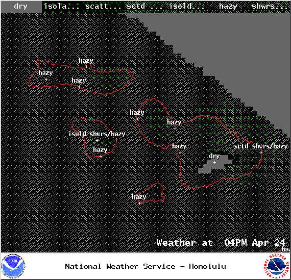
Image: NOAA / NWS
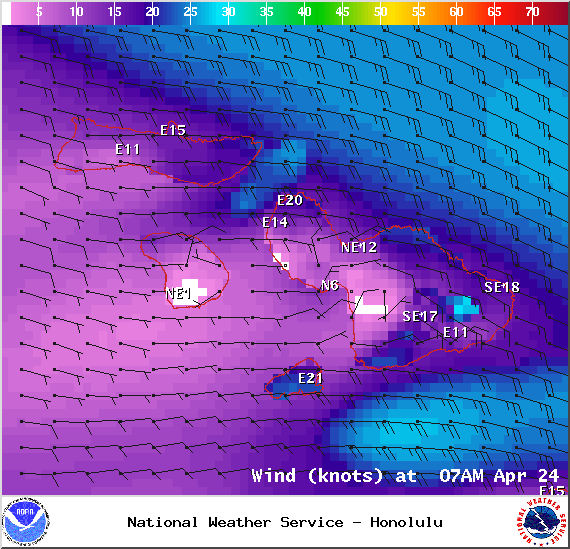
Image: NOAA / NWS
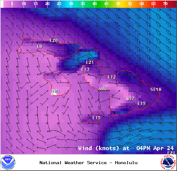
Image: NOAA / NWS
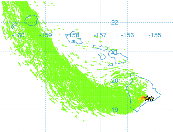
Image: UHSOEST
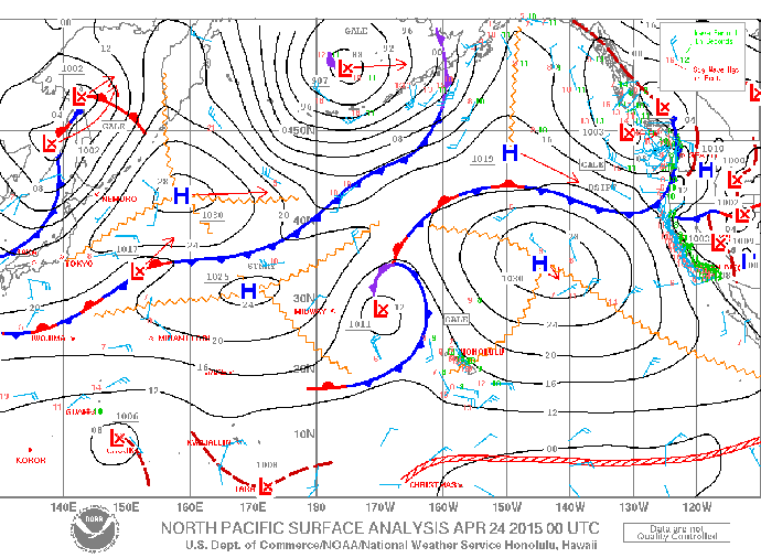
Image: NOAA / NWS

Image: NOAA / NWS
Sponsored Content