

Kahului, Maui Weather
- Change Towns
- Haiku
- Hana
- Kaanapali
- Kahana
- Kahului
- Kapalua
- Kihei
- Kula
- Lahaina
- Maalaea
- Makawao
- Paia
- Pukalani
- Wailea
- Wailuku
Today
Tonight
Saturday
Saturday Night
Sunday
Sunday Night
Monday
Monday Night
Tuesday
Tuesday Night
Wednesday
Wednesday Night
Thursday
Thursday Night
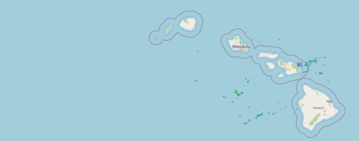 Weather Radar
Regional Maui Weather Forecast May 02, 2025

West Side
Rest Of Tonight: Mostly clear. Breezy. Lows 67 to 73. East winds 10 to 20 mph.
Friday: Sunny and breezy. Highs 78 to 83. East winds 10 to 25 mph.
Friday Night: Partly cloudy. Breezy. Isolated showers in the evening. Lows 67 to 73. East winds 15 to 20 mph decreasing to up to 20 mph after midnight. Chance of rain 20 percent.
South Side
Rest Of Tonight: Mostly clear. Lows 64 to 74. Northeast winds up to 15 mph.
Friday: Sunny and breezy. Highs around 87. Northeast winds up to 20 mph.
Friday Night: Mostly clear. Lows 64 to 75. Northeast winds up to 15 mph.
North Shore
Rest Of Tonight: Breezy. Partly cloudy with scattered showers. Lows around 69 near the shore to around 50 near 5000 feet. Southeast winds up to 20 mph. Chance of rain 50 percent.
Friday: Mostly sunny. Breezy. Isolated showers in the morning, then scattered showers in the afternoon. Highs 77 to 82 near the shore to around 66 near 5000 feet. Southeast winds up to 25 mph shifting to the east 10 to 25 mph in the afternoon. Chance of rain 40 percent.
Friday Night: Mostly cloudy in the evening then becoming partly cloudy. Breezy. Scattered showers. Lows around 69 near the shore to around 50 near 5000 feet. Southeast winds 10 to 20 mph. Chance of rain 50 percent.
Central Maui
Rest Of Tonight: Mostly clear. Breezy. Lows 64 to 69. East winds 10 to 20 mph.
Friday: Sunny and breezy. Highs 81 to 88. East winds 10 to 25 mph.
Friday Night: Mostly clear. Breezy. Isolated showers in the evening. Lows around 67. East winds 10 to 20 mph. Chance of rain 20 percent.
Upcountry
Rest Of Tonight: Breezy. Partly cloudy with scattered showers. Lows around 44 at the visitor center to around 48 at the summit. East winds up to 20 mph. Chance of rain 50 percent.
Friday: Breezy. Sunny with scattered showers. Highs around 62 at the visitor center to around 68 at the summit. East winds up to 25 mph. Chance of rain 40 percent.
Friday Night: Partly cloudy. Breezy. Scattered showers in the evening, then isolated showers after midnight. Lows around 44 at the visitor center to around 47 at the summit. East winds up to 25 mph increasing to 10 to 25 mph after midnight. Chance of rain 50 percent.
East Maui
Rest Of Tonight: Breezy. Partly cloudy with scattered showers. Lows around 69 near the shore to around 50 near 5000 feet. Southeast winds up to 20 mph. Chance of rain 50 percent.
Friday: Mostly sunny. Breezy. Isolated showers in the morning, then scattered showers in the afternoon. Highs 77 to 82 near the shore to around 66 near 5000 feet. Southeast winds up to 25 mph shifting to the east 10 to 25 mph in the afternoon. Chance of rain 40 percent.
Friday Night: Mostly cloudy in the evening then becoming partly cloudy. Breezy. Scattered showers. Lows around 69 near the shore to around 50 near 5000 feet. Southeast winds 10 to 20 mph. Chance of rain 50 percent.
Lanai City
Rest Of Tonight: Mostly clear. Lows around 64. Northeast winds 10 to 15 mph.
Friday: Mostly sunny. Breezy. Highs 73 to 80. Northeast winds 10 to 20 mph.
Friday Night: Partly cloudy. Lows around 64. Northeast winds up to 15 mph.
Kaunakakai
Rest Of Tonight: Mostly clear. Breezy. Lows 56 to 72. East winds 10 to 20 mph.
Friday: Sunny and breezy. Highs 70 to 86. East winds 10 to 20 mph.
Friday Night: Partly cloudy. Breezy. Isolated showers in the evening. Lows 56 to 72. East winds 10 to 20 mph. Chance of rain 20 percent.
Detailed Forecast
Synopsis
A high pressure ridge north to northeast of the Hawaiian Islands will keep moderate to breezy trade winds in place through the rest of the week. A cold front approaching from the northwest will stall out northwest of Kauai and weaken this ridge starting on Sunday. Expect a slight decrease in trade wind speeds for the first half of next week. Brief showers will favor windward and mountain areas, with leeward areas remaining mostly on the dry side. A brief increase in showers may develop by early next week as the upper level stability decreases.
Discussion
The satellite imagery this evening shows fairly stable clouds over the Hawaii region. Bands of clouds drifting in on the trade winds will produce brief periods of showers mainly over windward and mountain areas through the early morning hours. The subsidence temperature inversion heights were measured at 5,500 feet and 6,500 feet by upper air balloon soundings at 2 PM HST (00Z) at Lihue and Hilo respectively. This supports a typical trade wind weather pattern for this time of year with just brief passing showers in the forecast.
The subtropical ridge will remain in place north to northeast of the Hawaiian Islands through Saturday. This ridge will keep a fairly stable and typical easterly trade wind weather pattern in place into the weekend. A weak cold front approaching the islands from the northwest direction will stall out before the front reaches Kauai. The cold air and troughing aloft with this frontal system will weaken the ridge and large scale subsidence (stable downward motions) over the region, decreasing wind speeds slightly as upper level atmospheric stability decreases. This means a moderation in trade wind speeds with increasing shower trends from Sunday night into the first half of next week. These enhanced showers will mainly affect windward and mountain areas in the overnight to early morning hours, with more isolated overnight showers affecting leeward areas.
Aviation
Moderate to breezy trades through the forecast period. Low cigs and SHRA expected over windward and mauka locations. MVFR conds possible in SHRA but otherwise VFR prevails.
AIRMET Tango has been issued for moderate turbulence below 7000 feet for south through west of mountains across the state. Conditions are expected to continue through the forecast period.
No other AIRMETs are in effect.
Marine
High pressure approximately 900 nautical miles north northwest of the state will advance east and be north of the state by tomorrow morning. As the high moves further northeast of the islands late Friday the pressure gradient between the it and lower equatorial pressure will remain tight enough to result in continued high end moderate/fresh to locally strong trade winds. A Small Craft Advisory (SCA) remains in effect the next several days for the notoriously windier channels and bays surrounding Maui County and south of Big Island.
The ongoing small size, medium period north northwest swell producing near head to slightly over head high surf along many north-facing shores will peak tonight and then slowly decline this weekend. A series of smaller northwest to north swells are expected next week that should produce near (6 foot on face) to slightly above seasonal size surf.
A near 3 foot, medium to long period south southwest swell that peaked today will linger into Saturday. This swell has resulted in fun above summer average surf heights (5 to 6 foot on face) across many south-facing surf zones. This surf will hang in before slowly subsiding early next week. A mix of both a reinforcing long period south southwest swell and new short period south southeast swell energy should maintain near to above seasonal average surf this weekend. South-facing shore surf will generally decline next week, but small south southwest swells will hold surf at near summertime averages through the middle of next week.
An increase in the east wind wave chop is expected Friday as trades strengthen over and upstream of the state.
HFO Watches/Warnings/Advisories
Small Craft Advisory until 6 AM HST Saturday for Maalaea Bay, Pailolo Channel, Alenuihaha Channel, Big Island Leeward Waters, Big Island Southeast Waters.
Check out their Maui Helicopter Tours today!
Data Courtesy of NOAA.gov