


Island forecast
Lahaina, Maui Weather
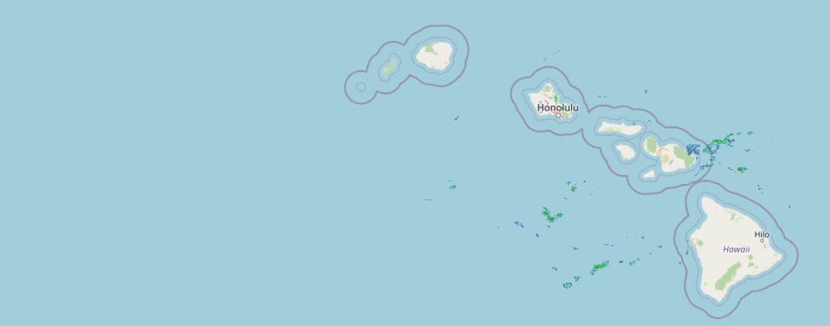
Clear daily guidance, radar access and the latest regional weather reporting in one place.
Multi-day outlook
Forecast timeline
Scroll for the full forecast
Overnight
Sunday
Sunday Night
Monday
Monday Night
Tuesday
Tuesday Night
Wednesday
Wednesday Night
Thursday
Thursday Night
Friday
Friday Night
Saturday
 Weather Radar
Regional forecast
Regional Maui Weather Forecast August 01, 2026

West Side
Today: Sunny and windy. Isolated showers in the morning. Highs 79 to 87. Northeast winds 10 to 30 mph with gusts to 50 mph. Chance of rain 20 percent.
Tonight: Mostly clear. Windy. Lows 70 to 78. Northeast winds 10 to 30 mph with gusts to 50 mph.
Sunday: Sunny and breezy. Isolated showers in the afternoon. Highs 78 to 85. Northeast winds 10 to 20 mph. Chance of rain 20 percent.
South Side
Today: Sunny and breezy. Highs 86 to 91. Northeast winds 10 to 25 mph with gusts to 45 mph.
Tonight: Mostly clear. Breezy. Lows 70 to 78. Northeast winds 10 to 25 mph with gusts to 45 mph.
Sunday: Sunny and breezy. Highs around 87. Northeast winds 10 to 20 mph.
North Shore
Today: Partly sunny in the morning then becoming mostly sunny. Breezy. Scattered showers. Highs around 81 near the shore to around 66 near 5000 feet. East winds 10 to 25 mph with gusts to 45 mph. Chance of rain 50 percent.
Tonight: Breezy. Mostly cloudy with scattered showers. Lows 68 to 73 near the shore to around 55 near 5000 feet. East winds 10 to 25 mph. Chance of rain 50 percent.
Sunday: Mostly sunny in the morning then becoming partly sunny. Breezy. Scattered showers. Highs around 81 near the shore to around 65 near 5000 feet. East winds up to 20 mph. Chance of rain 50 percent.
Central Maui
Today: Sunny and breezy. Isolated showers in the morning. Highs 81 to 89. Northeast winds 15 to 25 mph with gusts to 45 mph. Chance of rain 20 percent.
Tonight: Mostly clear. Breezy. Isolated showers in the evening. Lows 70 to 75. East winds 10 to 25 mph. Chance of rain 20 percent.
Sunday: Sunny and breezy. Isolated showers in the afternoon. Highs 80 to 88. Northeast winds 10 to 20 mph. Chance of rain 20 percent.
Upcountry
Today: Mostly sunny. Windy. Scattered showers in the morning, then isolated showers in the afternoon. Highs around 64 at the visitor center to around 72 at the summit. East winds up to 35 mph. Gusts up to 60 mph in the morning. Chance of rain 50 percent.
Tonight: Mostly clear. Breezy. Isolated showers in the evening, then scattered showers after midnight. Lows around 52 at the visitor center to around 50 at the summit. East winds up to 25 mph. Chance of rain 50 percent.
Sunday: Mostly sunny with isolated showers. Highs around 63 at the visitor center to around 70 at the summit. East winds up to 15 mph increasing to 10 to 15 mph in the afternoon. Chance of rain 20 percent.
East Maui
Today: Partly sunny in the morning then becoming mostly sunny. Breezy. Scattered showers. Highs around 81 near the shore to around 66 near 5000 feet. East winds 10 to 25 mph with gusts to 45 mph. Chance of rain 50 percent.
Tonight: Breezy. Mostly cloudy with scattered showers. Lows 68 to 73 near the shore to around 55 near 5000 feet. East winds 10 to 25 mph. Chance of rain 50 percent.
Sunday: Mostly sunny in the morning then becoming partly sunny. Breezy. Scattered showers. Highs around 81 near the shore to around 65 near 5000 feet. East winds up to 20 mph. Chance of rain 50 percent.
Lanai City
Today: Sunny and windy. Highs 74 to 83. Northeast winds 10 to 30 mph with gusts to 50 mph.
Tonight: Mostly clear. Windy. Lows 67 to 72. Northeast winds 10 to 30 mph.
Sunday: Sunny and breezy. Highs 73 to 82. Northeast winds 10 to 25 mph.
Kaunakakai
Today: Sunny and breezy. Highs 70 to 89. Northeast winds 10 to 25 mph.
Tonight: Mostly clear. Breezy. Lows 62 to 77. Northeast winds 10 to 25 mph.
Sunday: Sunny and breezy. Isolated showers in the afternoon. Highs 69 to 88. Northeast winds 10 to 25 mph. Chance of rain 20 percent.
Detailed Forecast
Synopsis
A strong surface high will continue to build north of the state through through this afternoon. A drier and more stable air mass will also settle in over the state. Trades will ease back to more typical summertime breezy levels Sunday into early next week as the high weakens. Isolated to scattered showers will mainly affect windward locations with dry weather expected for leeward areas. An increase chance of windward clouds and showers may develop by mid-week.
Discussion
Satellite and radar imagery show scattered clouds with embedded showers focusing along windward and mauka locations. High clouds are moving west to east across the state as the subtropical jet shift over the area. A strengthening high to the north of the islands is bringing in windy conditions across portions of the state. A Wind Advisory is in effect through this afternoon for the windy areas along ridges, through mountainous gaps and downslope mountain areas through the state as well as the summits of the Big Island.
The high pressure will drift eastward on Sunday, loosening local pressure gradients, and easing trades back down to typical summertime levels. Drier conditions should settle in making for lower chances of windward and mauka showers and even drier conditions for leeward area.
Through midweek, trades will further ease as Tropical Storm Genevieve weakens to a post-tropical depression and tracks far northeast of the state, disrupting trade wind flow. Bands of moisture will move over the state, returning typical scattered showers to windward and mauka slopes. Model guidance continue to show a tropical upper level trough shifting just northwest of Kauai by the middle of the week. In addition an area of enhanced moisture may move from east to west across the state. If this comes to fruition, expect a steady increase in low to upper level moisture/clouds and increasing chances moderate to locally heavy windward and mauka showers, especially for the western half of the state.
Aviation
Breezy to windy trade winds will prevail through early Sunday. Occasional MVFR ceilings and visibilities will occur within SHRA mainly across windward and upslope mauka exposures.
AIRMET TANGO remains in effect through the day for areas over and immediate S through W of all the Hawaiian Islands in response to the strengthened trade winds. No other AIRMETs are currently in effect.
Marine
Strong trade winds continue across the coastal waters this morning due to strong surface high pressure north of the state, meanwhile the windier waters around Maui County and the Big Island are near gale force. These windy trades will persist today as the high strengthens and migrates south towards the islands. The Small Craft Advisory has been extended for all nearshore waters, with seas potentially exceeding 10 feet during this time. Winds will begin to trend down tonight and it appears likely that small craft winds will once again be relegated to the typically windy waters by Sunday. The combination of a strong mid-latitude trough and Tropical Storm Genevieve passing far northeast of the islands induces a weakness in the ridge which will then keep trade winds more moderate for the first half of the week.
The current medium-period south swell will continue to fade through tonight. This will be followed by continued small, medium-period pulses of energy out of the southerly quadrant during the next several days. Surf will therefore hover below the seasonal average through the middle of next week.
A small, medium period easterly swell generated by Tropical Storm Genevieve in the East Pacific combined with increasing wind waves from the strong trades is resulting in elevated surf along east- facing shores. East shore surf will peak today below advisory criteria before gradually declining through the middle of next week as trades diminish and the swell from Genevieve fades.
Surf along north facing shores will remain flat to tiny. West facing shores will remain tiny as well, with the exception of those locations exposed to the south swell wrap.
Fire weather
Windy trades continue across the state with some locations under a Wind Advisory though this afternoon. A drier and more stable airmass has inversion heights around 5,000 to 6,000 ft, creating gusty downslope winds and low RH values. Any showers will mostly be limited to windward locations. While the KBDI will remain below the critical thresholds, this warm ,dry and windy pattern will create near critical fire weather concerns, especially for areas above the inversion heights and downslope of ridges. Trades are expected to return to more normal moderate to locally breezy levels Sunday into early next week. A steady increase in low to upper level moisture also fill in across the state next week.
HFO Watches/Warnings/Advisories
Wind Advisory until 6 PM HST this evening for Waianae Mountains, Lanai Mauka, Kahoolawe, Maui Leeward West, Kohala, Big Island Interior, Big Island Summits, Kauai South, Koolau Leeward, Molokai North, Molokai West, Molokai Leeward South, Lanai Windward, Lanai Leeward, Maui Central Valley North, Maui Central Valley South, South Haleakala, Big Island South, Big Island Southeast, Big Island North.
Small Craft Advisory until 6 AM HST Sunday for all Hawaiian waters,
Check out their Maui Helicopter Tours today!
Data Courtesy of NOAA.gov


