

Category 2 Douglas Weakens Slightly, Tropical Storm Warning for Maui and Big Island (11 p.m. Update)
• Category 2 Douglas Weakens Slightly, Tropical Storm Warning for Maui & Big Island (11 p.m. Update)
• 2020 Hurricane Season in Hawaiʻi
• Storm Prep and Kits
• Ige Issues Emergency Proclamation Ahead of Douglas
• Mayor Victorino Asks Governor to Reinstate 14-Day Interisland Quarantine
• Mayor Victorino urges Maui to Prep for Potential Impacts
(Update: 11 p.m. 7.24.20)
Douglas has weekend slightly to a Category 2 Hurricane, but continues on a path toward the Hawaiian Islands, according to the latest update from the Central Pacific Hurricane Center. A tropical storm warning was issued for Maui and Hawaiʻi Counties in addition to Hurricane Watches, which are already in effect for Maui and Hawaiʻi Counties, as well as the island of Oʻahu.
At 11 p.m., Douglas was located 555 miles East of Hilo and 750 miles ESE of Honolulu. The system has maximum sustained winds of 110 mph and a slightly slowed forward motion from the previous forecast, moving toward the WNW at 18 mph.
This motion is expected to continue through Saturday, followed by a slight decrease in forward speed and a turn toward the west. On the forecast track, Douglas will be near the main Hawaiian Islands Saturday night through Sunday night.
The CPHC advises that: A Tropical Storm Warning means that tropical storm conditions are expected somewhere within the warning area within 36 hours; and a Hurricane Watch means that hurricane conditions are possible within the watch area, in this case within 36 to 48 hours.
Despite gradual weakeningexpected to continue through the weekend; Douglas is still forecast to be near hurricane strength when it nears the islands, according to forecasters with the CPHC.
Hurricane-force winds extend outward up to 30 miles from the center and tropical-storm-force winds extend outward up to 115 miles.
CPHC Advises of Potential Impacts and Timing:
WIND: Hurricane conditions are possible across portions of the main Hawaiian Islands late Saturday night through Monday. Tropical Storm conditions are expected across Hawaii County and Maui County beginning Saturday night or Sunday.
SURF: Large swells generated by Douglas are expected to affect the Hawaiian Islands this weekend. These swells are likely to cause life-threatening surf and rip current conditions for a couple of days.
RAINFALL: Heavy rainfall associated with Douglas is expected to affect portions of the main Hawaiian Islands from late Saturday night through Monday. Total rain accumulations of 5 to 10 inches with locally higher amounts will be possible on the smaller islands, especially across elevated terrain. This rain may result in life-threatening flash flooding and land slides, as well as rapid water level rises on small streams. 3 to 6 inches of rainfall are possible on the Big Island, with locally higher amounts.
Key Messages from the Central Pacific Hurricane Center:
Douglas continues to approach the main Hawaiian Islands, potentially passing dangerously close to, or over, the islands Saturday night through Sunday night. The close passage of Douglas brings a triple threat of hazards, including but not limited to damaging winds, flooding rainfall, and dangerously high surf, especially along east facing shores.
It is vital that you do not focus on the exact forecast track or intensity of Douglas, and remain prepared for changes to the forecast. Due to Douglas’ angle of approach to the islands, any small changes in the track could lead to significant differences in where the worst weather occurs. Even if the center remains offshore, severe impacts could still be realized over the islands, as they extend well away from the center.
Terrain effects can cause strong localized acceleration of the wind through gaps and where winds blow downslope. These acceleration areas will shift with time as Douglas passes near the islands. Winds will also be stronger at the upper floors of high rise buildings.
*The next intermediate advisory is at 2 a.m. HST. The next complete advisory at 5 a.m. HST on Saturday, July 24, 2020. Forecast information courtesy Central Pacific Hurricane Center,
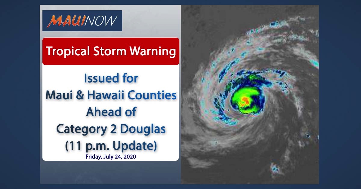
Douglas. (11 p.m. 7.24.20) PC: NOAA/NWS/CPHC

Douglas. (11 p.m. 7.24.20) PC: NOAA/NWS/CPHC

Douglas. (11 p.m. 7.24.20) PC: NOAA/NWS/CPHC

Douglas. (11 p.m. 7.24.20) PC: NOAA/NWS/CPHC

Douglas. (11 p.m. 7.24.20) PC: NOAA/NWS/CPHC
Sponsored Content


